File:Powiat ząbkowicki location map.png

Original file (2,102 × 1,815 pixels, file size: 1.48 MB, MIME type: image/png)
Captions
Captions
Summary
[edit]
| Description |
English: Location map. |
| Date | |
| Source | Own work |
| Author | Smat |
| Description |
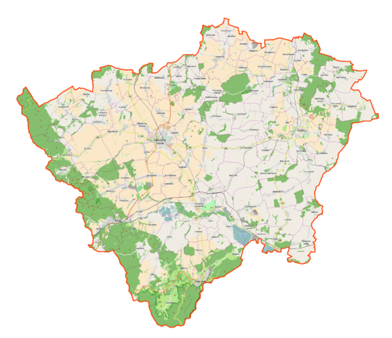
Polski: Mapa powiatu ząbkowickiego, Polska
English: Map of Powiat ząbkowicki, Poland |
|||||||||
| Date | ||||||||||
| Source | You may find a page on the OpenStreetMap wiki page for Powiat ząbkowicki | |||||||||
| Creator |
OpenStreetMap contributors OpenStreetMap contributors |
|||||||||
| Permission (Reusing this file) |
OpenStreetMap data is available under the Open Database License (details). Map tiles are licensed under the Creative Commons Attribution-ShareAlike 2.0 license (CC-BY-SA 2.0).
This file is licensed under the Creative Commons Attribution-Share Alike 2.0 Generic license.
|
|||||||||
| Geotemporal data | ||||||||||
| Bounding box |
|
|||||||||
| Georeferencing | If inappropriate please set warp_status = skip to hide. | |||||||||
Licensing
[edit]
| This work contains information from OpenStreetMap, which is made available under the Open Database License (ODbL).
The ODbL does not require any particular license for maps produced from ODbL data. Prior to 1 August 2020, map tiles produced by the OpenStreetMap Foundation were licensed under the CC-BY-SA-2.0 license. Maps produced by other people may be subject to other licences. |
File history
Click on a date/time to view the file as it appeared at that time.
| Date/Time | Thumbnail | Dimensions | User | Comment | |
|---|---|---|---|---|---|
| current | 11:16, 8 December 2016 | | 2,102 × 1,815 (1.48 MB) | Smat (talk | contribs) | User created page with UploadWizard |
You cannot overwrite this file.
File usage on Commons
There are no pages that use this file.
File usage on other wikis
The following other wikis use this file:
- Usage on pl.wikipedia.org
- Bardo (miasto)
- Krzywa Wieża w Ząbkowicach Śląskich
- Ząbkowice Śląskie
- Srebrna Góra (województwo dolnośląskie)
- Stoszowice
- Ziębice
- Złoty Stok
- Twierdza Srebrna Góra
- Kamieniec Ząbkowicki
- Bożnowice
- Braszowice
- Brodziszów
- Brukalice
- Byczeń
- Cienkowice
- Ciepłowody
- Czerńczyce (powiat ząbkowicki)
- Doboszowice
- Dobrzenice
- Dzbanów
- Dębowina
- Jemna
- Kluczowa
- Krzelków
- Kalinowice Dolne
- Kalinowice Górne
- Koźmice
- Kobyla Głowa (województwo dolnośląskie)
- Lutomierz
- Mrokocin
- Muszkowice
- Chwalisław (wieś)
- Niedźwiednik (województwo dolnośląskie)
- Olbrachcice Wielkie
- Opolnica
- Osina Mała (województwo dolnośląskie)
- Osina Wielka
- Ożary
- Piotrowice Polskie
- Pomianów Dolny
- Pomianów Górny
- Przedborowa
- Rososznica
- Sieroszów
- Skalice
- Sosnowa (województwo dolnośląskie)
- Służejów
- Stary Henryków
- Starczów
- Starczówek
View more global usage of this file.