File:Powiat oleśnicki location map.png
Original file (1,313 × 1,487 pixels, file size: 1.08 MB, MIME type: image/png)
Captions
Captions
Summary
[edit]
| Description |
English: Location map. |
| Date | |
| Source | Own work |
| Author | Smat |
| Description |
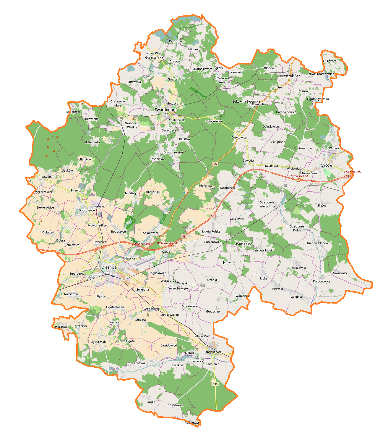
Polski: Mapa powiatu oleśnickiego, Polska
English: Map of powiat oleśnicki, Poland |
|||||||||
| Date | ||||||||||
| Source | You may find a page on the OpenStreetMap wiki page for powiat oleśnicki | |||||||||
| Creator |
OpenStreetMap contributors OpenStreetMap contributors |
|||||||||
| Permission (Reusing this file) |
OpenStreetMap data is available under the Open Database License (details). Map tiles are licensed under the Creative Commons Attribution-ShareAlike 2.0 license (CC-BY-SA 2.0).
This file is licensed under the Creative Commons Attribution-Share Alike 2.0 Generic license.
|
|||||||||
| Geotemporal data | ||||||||||
| Bounding box |
|
|||||||||
| Georeferencing | If inappropriate please set warp_status = skip to hide. | |||||||||
Licensing
[edit]
| This work contains information from OpenStreetMap, which is made available under the Open Database License (ODbL).
The ODbL does not require any particular license for maps produced from ODbL data. Prior to 1 August 2020, map tiles produced by the OpenStreetMap Foundation were licensed under the CC-BY-SA-2.0 license. Maps produced by other people may be subject to other licences. |
File history
Click on a date/time to view the file as it appeared at that time.
| Date/Time | Thumbnail | Dimensions | User | Comment | |
|---|---|---|---|---|---|
| current | 11:24, 18 December 2016 | | 1,313 × 1,487 (1.08 MB) | Smat (talk | contribs) | User created page with UploadWizard |
You cannot overwrite this file.
File usage on Commons
There are no pages that use this file.
File usage on other wikis
The following other wikis use this file:
- Usage on pl.wikipedia.org
- Goszcz
- Twardogóra
- Oleśnica
- Syców
- Bierutów
- Międzybórz
- Dobroszyce
- Bukowina Sycowska
- Chełstów
- Chełstówek
- Dalborowice
- Dobrzeń
- Drogoszowice
- Droździęcin
- Drągów
- Dziadowa Kłoda
- Drołtowice
- Dziadów Most
- Działosza (województwo dolnośląskie)
- Gorzesław
- Gola Wielka
- Grabowno Małe
- Grabowno Wielkie (wieś w województwie dolnośląskim)
- Gołębice (wieś)
- Gręboszyce
- Hałdrychowice
- Jemielna
- Kraszów
- Królewska Wola (województwo dolnośląskie)
- Kruszowice
- Karwiniec
- Kijowice
- Ligota Polska
- Ligota Rybińska
- Łuczyna
- Malerzów
- Moszyce
- Nieciszów
- Niwki Kraszowskie
- Niwki Książęce (województwo dolnośląskie)
- Nowa Ligota
- Nowa Wieś Goszczańska
- Nowosiedlice
- Nowoszyce (powiat oleśnicki)
- Ose
- Oska Piła
- Ostrowina
- Piszkawa
- Poniatowice
- Posadowice
View more global usage of this file.