File:Powiat bolesławicki location map.png

Original file (1,931 × 1,950 pixels, file size: 1 MB, MIME type: image/png)
Captions
Captions
Summary
[edit]
| Description |
English: Location map. |
| Date | |
| Source | Own work |
| Author | Smat |
| Description |
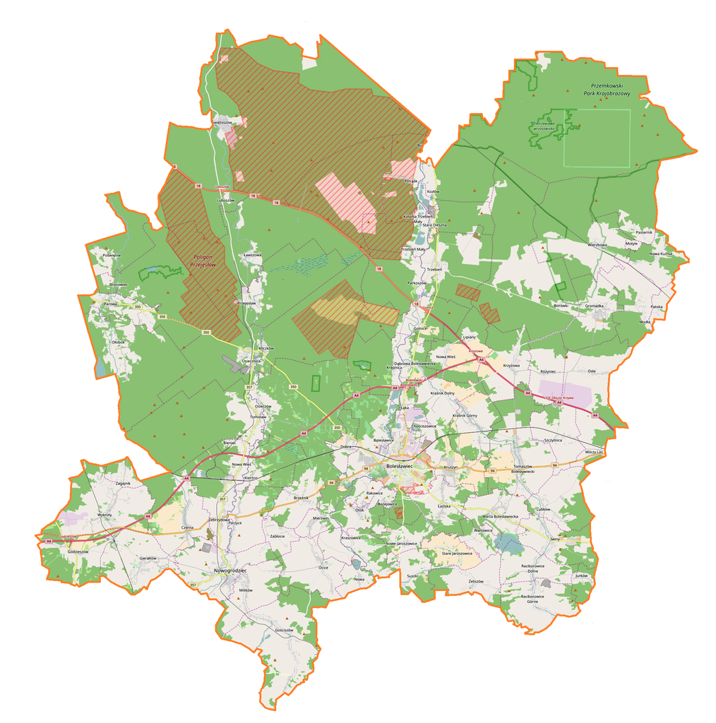
Polski: Mapa powiatu bolesławieckiego, Polska
English: Map of powiat bolesławiecki, Poland |
|||||||||
| Date | ||||||||||
| Source | You may find a page on the OpenStreetMap wiki page for powiat bolesławiecki | |||||||||
| Creator |
OpenStreetMap contributors OpenStreetMap contributors |
|||||||||
| Permission (Reusing this file) |
OpenStreetMap data is available under the Open Database License (details). Map tiles are licensed under the Creative Commons Attribution-ShareAlike 2.0 license (CC-BY-SA 2.0).
This file is licensed under the Creative Commons Attribution-Share Alike 2.0 Generic license.
|
|||||||||
| Geotemporal data | ||||||||||
| Bounding box |
|
|||||||||
| Georeferencing | If inappropriate please set warp_status = skip to hide. | |||||||||
Licensing
[edit]
| This work contains information from OpenStreetMap, which is made available under the Open Database License (ODbL).
The ODbL does not require any particular license for maps produced from ODbL data. Prior to 1 August 2020, map tiles produced by the OpenStreetMap Foundation were licensed under the CC-BY-SA-2.0 license. Maps produced by other people may be subject to other licences. |
File history
Click on a date/time to view the file as it appeared at that time.
| Date/Time | Thumbnail | Dimensions | User | Comment | |
|---|---|---|---|---|---|
| current | 14:28, 22 December 2016 | | 1,931 × 1,950 (1 MB) | Smat (talk | contribs) | User created page with UploadWizard |
You cannot overwrite this file.
File usage on Commons
There are no pages that use this file.
File usage on other wikis
The following other wikis use this file:
- Usage on eo.wikipedia.org
- Usage on pl.wikipedia.org
- Bolesławiec
- Zamek w Kliczkowie
- Kliczków
- Nowogrodziec
- Gromadka
- Iwiny (powiat bolesławiecki)
- Bożejowice
- Bronowiec
- Chościszowice
- Dąbrowa Bolesławiecka
- Gierałtów
- Golnice
- Godzieszów
- Gościszów
- Kraszowice
- Kraśnik Dolny
- Kraśnik Górny
- Krępnica
- Kierżno
- Lubków (wieś)
- Ławszowa
- Milików
- Nowe Jaroszowice
- Nowa (wieś)
- Ocice (województwo dolnośląskie)
- Osieczów
- Osła
- Parkoszów
- Patoka (województwo dolnośląskie)
- Przejęsław
- Różyniec
- Raciborowice Dolne
- Raciborowice Górne
- Motyle (województwo dolnośląskie)
- Szczytnica
- Suszki (Polska)
- Stara Oleszna
- Stare Jaroszowice
- Świętoszów
- Tomaszów Bolesławiecki
- Trzebień Mały
- Warta Bolesławiecka
- Wartowice
- Wilczy Las
- Wykroty (województwo dolnośląskie)
- Żeliszów
- Zebrzydowa
- Borówki (województwo dolnośląskie)
- Brzeźnik (województwo dolnośląskie)
View more global usage of this file.