File:Playa de Las Canteras-Mapa 2007 ES-Las Palmas de Gran Canaria.svg
Jump to navigation
Jump to search

Size of this PNG preview of this SVG file: 800 × 436 pixels. Other resolutions: 320 × 175 pixels | 640 × 349 pixels | 1,024 × 559 pixels | 1,280 × 698 pixels | 2,560 × 1,396 pixels | 3,300 × 1,800 pixels.
Original file (SVG file, nominally 3,300 × 1,800 pixels, file size: 1.58 MB)
Captions
Captions
Add a one-line explanation of what this file represents
| Description |
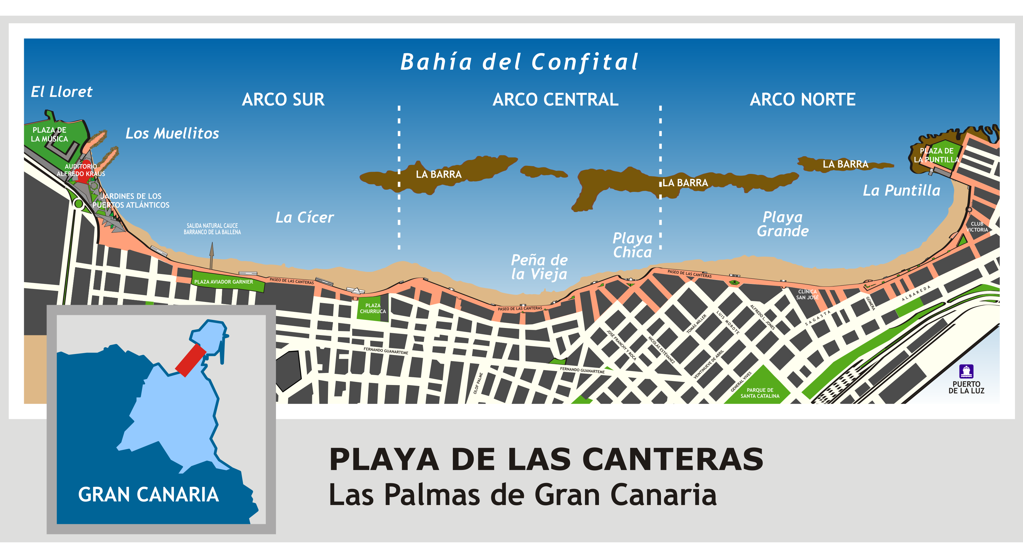
Español: Playa de Las Canteras, mapa zonal 2007 (Español). Las Palmas de Gran Canaria, Islas Canarias, España.
English: Las Canteras Beach, zone map 2007. Las Palmas de Gran Canaria, Canary Islands, Spain. |
| Date | |
| Source | Own work |
| Author | Pepelopex |
I, the copyright holder of this work, hereby publish it under the following licenses:

|
Permission is granted to copy, distribute and/or modify this document under the terms of the GNU Free Documentation License, Version 1.2 or any later version published by the Free Software Foundation; with no Invariant Sections, no Front-Cover Texts, and no Back-Cover Texts. A copy of the license is included in the section entitled GNU Free Documentation License. |
This file is licensed under the Creative Commons Attribution-Share Alike 3.0 Unported, 2.5 Generic, 2.0 Generic and 1.0 Generic license.
- You are free:
- to share – to copy, distribute and transmit the work
- to remix – to adapt the work
- Under the following conditions:
- attribution – You must give appropriate credit, provide a link to the license, and indicate if changes were made. You may do so in any reasonable manner, but not in any way that suggests the licensor endorses you or your use.
- share alike – If you remix, transform, or build upon the material, you must distribute your contributions under the same or compatible license as the original.
You may select the license of your choice.
File history
Click on a date/time to view the file as it appeared at that time.
| Date/Time | Thumbnail | Dimensions | User | Comment | |
|---|---|---|---|---|---|
| current | 20:24, 25 September 2007 | | 3,300 × 1,800 (1.58 MB) | Pepelopex (talk | contribs) | edición para ocultar los filetes a las manzanas que lo tenían (quedó a medias) |
| 20:10, 25 September 2007 |  | 3,300 × 1,800 (1.58 MB) | Pepelopex (talk | contribs) | {{Information |Description= {{es|Playa de Las Canteras, mapa zonal 2007 (Español). Las Palmas de Gran Canaria, Islas Canarias, España.}} {{en|Las Canteras Beach, zone map 2007. Las Palmas de Gran Canaria, Canary Islands, Spain.}} |Source= self-made |Dat |
You cannot overwrite this file.
File usage on Commons
The following page uses this file:
File usage on other wikis
The following other wikis use this file:
- Usage on en.wikipedia.org
- Usage on es.wikipedia.org
- Usage on sl.wikipedia.org