File:Plano puerto Cádiz.jpg
Jump to navigation
Jump to search
Size of this preview: 800 × 566 pixels. Other resolutions: 320 × 226 pixels | 640 × 453 pixels | 1,024 × 725 pixels | 1,280 × 906 pixels | 2,560 × 1,812 pixels | 4,928 × 3,488 pixels.
Original file (4,928 × 3,488 pixels, file size: 1.45 MB, MIME type: image/jpeg)
Captions
Captions
Add a one-line explanation of what this file represents
Summary
[edit]
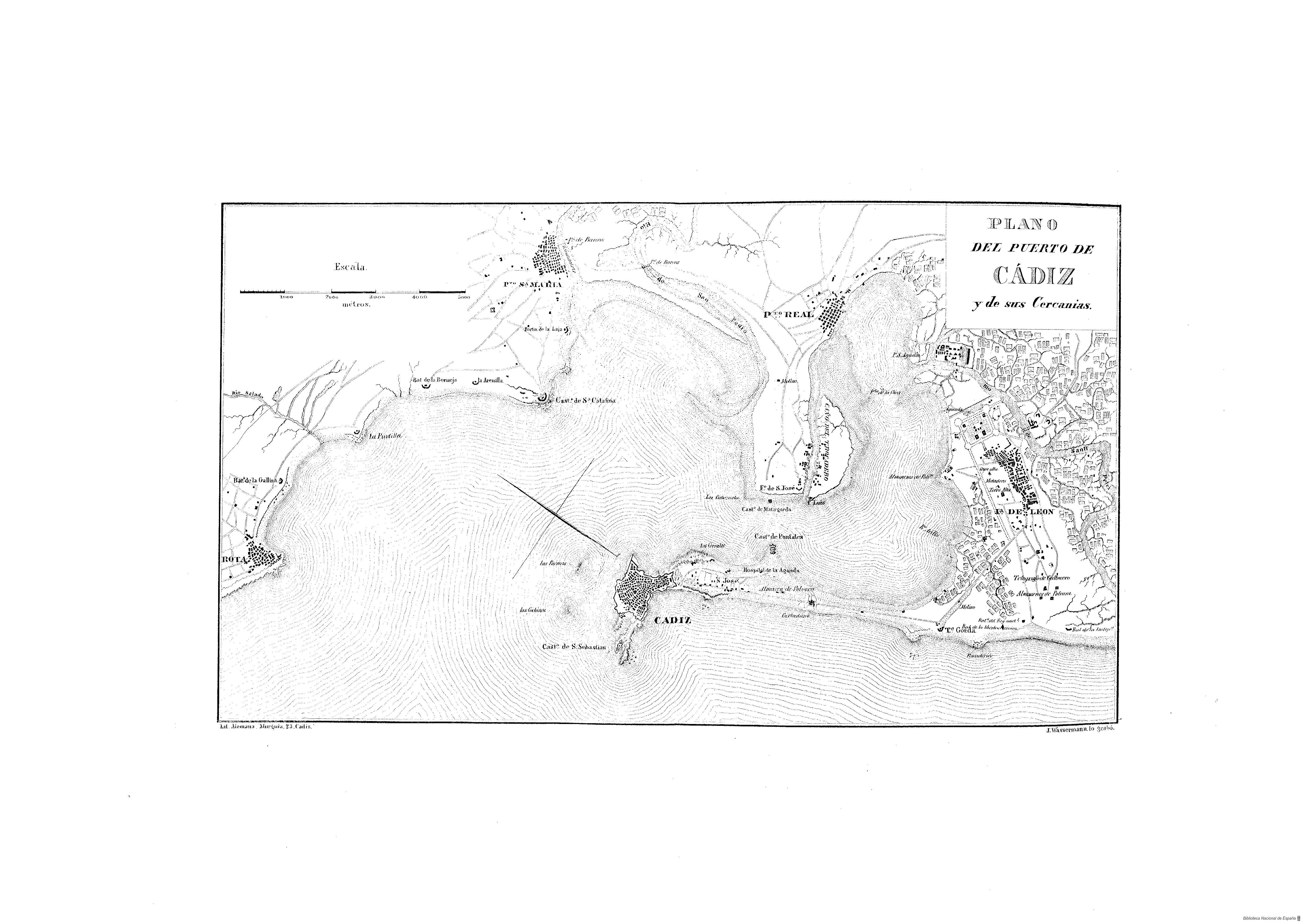
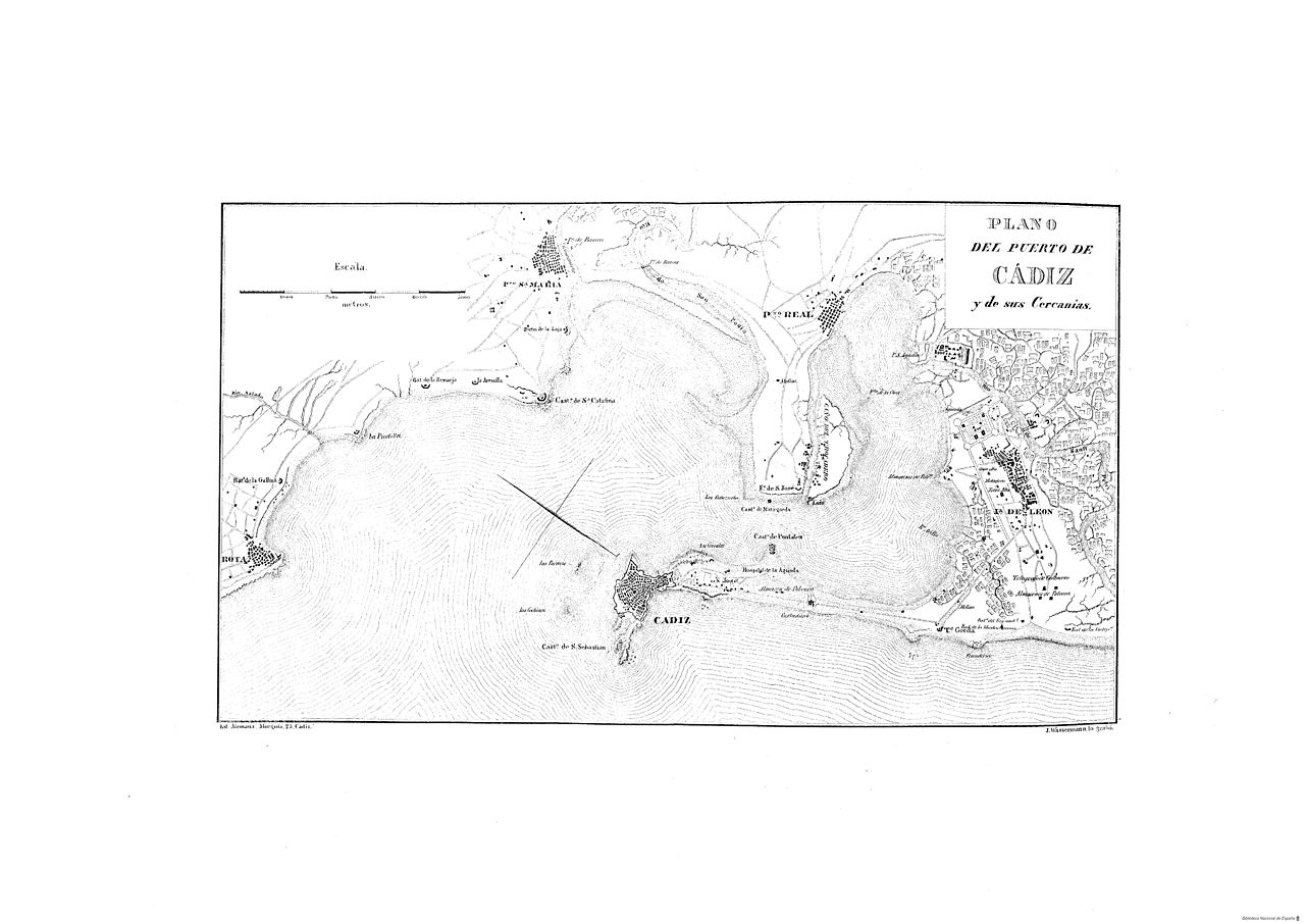
| Description | Mapa del puerto de la ciudad de Cádiz en el año 1812. Pag 75 del libro "Cádiz en la Guerra de la Independencia : Cuadro histórico" |
| Date | |
| Source | http://www.bne.es/ |
| Author | Adolfo de Castro (1823-1898) |
Licensing
[edit]
|
This work is in the public domain in its country of origin and other countries and areas where the copyright term is the author's life plus 70 years or fewer. | |
| This file has been identified as being free of known restrictions under copyright law, including all related and neighboring rights. | |
File history
Click on a date/time to view the file as it appeared at that time.
| Date/Time | Thumbnail | Dimensions | User | Comment | |
|---|---|---|---|---|---|
| current | 12:21, 3 February 2008 | | 4,928 × 3,488 (1.45 MB) | GabrielZafra (talk | contribs) | {{Information |Description=Mapa del puerto de la ciudad de Cádiz en el año 1812. Pag 75 del libro "Cádiz en la Guerra de la Independencia : Cuadro histórico" |Source=http://www.bne.es/ |Date=1862 |Author=Adolfo de Castro (1823-1898) |Permission= |ot |
You cannot overwrite this file.
File usage on Commons
The following page uses this file:
File usage on other wikis
The following other wikis use this file:
- Usage on es.wikisource.org