File:Plan des fortifications des environs de Paris. Befestigungs - Plan von Paris. Fortificationen, ca 1859 - BHVP.jpg
Jump to navigation
Jump to search

Size of this preview: 800 × 597 pixels. Other resolutions: 320 × 239 pixels | 640 × 477 pixels | 1,024 × 764 pixels | 1,280 × 954 pixels | 2,560 × 1,909 pixels | 4,050 × 3,020 pixels.
Original file (4,050 × 3,020 pixels, file size: 10.74 MB, MIME type: image/jpeg)
Captions
Captions
Add a one-line explanation of what this file represents
Summary
[edit]| Title |
Plan des fortifications des environs de Paris. Befestigungs - Plan von Paris. Fortificationen |
||||||||||||||||||||
| Description |
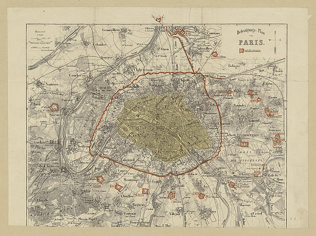
English: An old map of Paris. |
||||||||||||||||||||
| Date | circa 1859 | ||||||||||||||||||||
| Source | Portail des bibliothèques spécialisées de la Ville de Paris | ||||||||||||||||||||
| Creator |
Unknown author |
||||||||||||||||||||
| Geotemporal data | |||||||||||||||||||||
| Map location | Paris | ||||||||||||||||||||
| Georeferencing | If inappropriate please set warp_status = skip to hide. | ||||||||||||||||||||
| Bibliographic data | |||||||||||||||||||||
| Language | German | ||||||||||||||||||||
| Archival data | |||||||||||||||||||||
| Collection |
|
||||||||||||||||||||

Licensing
[edit]
|
This work is in the public domain in its country of origin and other countries and areas where the copyright term is the author's life plus 100 years or fewer. | |
| This file has been identified as being free of known restrictions under copyright law, including all related and neighboring rights. | |
File history
Click on a date/time to view the file as it appeared at that time.
| Date/Time | Thumbnail | Dimensions | User | Comment | |
|---|---|---|---|---|---|
| current | 14:18, 30 January 2020 | | 4,050 × 3,020 (10.74 MB) | Paris 16 (talk | contribs) | cropped |
| 04:25, 24 January 2020 |  | 7,936 × 6,234 (7.36 MB) | Paris 16 (talk | contribs) | User created page with UploadWizard |
You cannot overwrite this file.
File usage on Commons
The following 3 pages use this file: