File:PikiWiki Israel 67446 michmoret village.jpg

Original file (3,647 × 1,767 pixels, file size: 2.18 MB, MIME type: image/jpeg)
Captions
Captions
| Description |
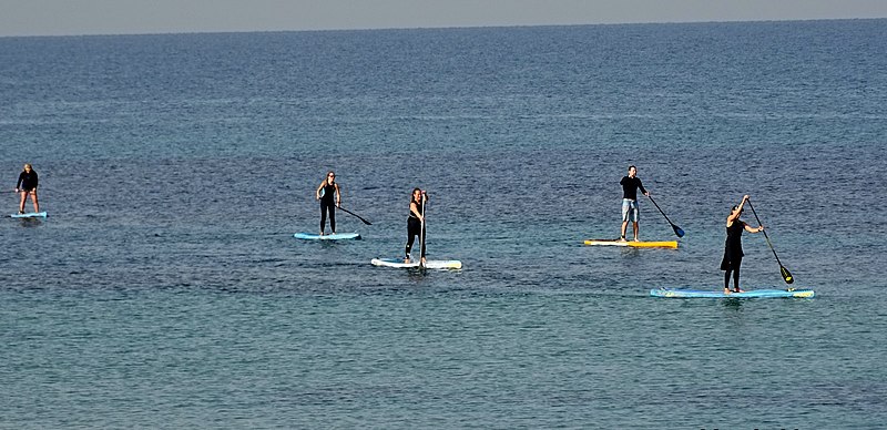
English: Michmoret village עברית: מכמורת
Original Image Name: Piciwiki_israel_67446_DSC00742.JPG Notes: מכמורת נוסדה ב-1945 על ידי קבוצת חיילים משוחררי הצבא הבריטי כquotמושב עובדים לדיג וחקלאות שיתופית בעquotמquot. בשל עיסוק המייסדים בדיג ניתן ליישוב השם quotמכמורתquot שמשמעותו רשת דיג. קבוצת המייסדים מנתה 38 משפחות וגרעין זה הוא שהקים את בית הספר quotמבואות יםquot. בנוסף לתעסוקה בדיג עסקו המתיישבים גם בגידולי שדה ופרדסנות. במפרץ הקטן של מכמורת התקיים במאה ה-19 מסחר באבטיחים שגודלו בשרון באזור הכפר קאקון. האבטיחים יוצאו מהנמל שנקרא quotמינת אבו זבורהquot הנמל של משפחת זבורה ללבנון ומצרים על ידי מפרשיות. Location: מושב מכמורת |
| Date | |
| Source | Israel Zeller via the PikiWiki - Israel free image collection project |
| Author | israel zeller |
| Permission (Reusing this file) |
This file is licensed under the Creative Commons Attribution 2.5 Generic license. Attribution: zeller- zalmanson Pikiwiki Israel
|

|
This file has been submitted through the Israeli Pikiwiki project and uploaded here automatically.
The project is cooperation between the Israel Internet Association and Wikimedia Israel in an effort to promote the concept of free content on the Web, by creating an image collection of digital-format, good quality photographs, documenting events relating to the history of Israel, or depicting places of distinction in Israel and the Middle East. The Pikiwiki Project is managed from 2021 by the "Heritage Stones" group.
Please consider notifying the project before renaming or deleting this file. Further information about the project can be found on the commons-l mailing list.
|
File history
Click on a date/time to view the file as it appeared at that time.
| Date/Time | Thumbnail | Dimensions | User | Comment | |
|---|---|---|---|---|---|
| current | 01:31, 21 May 2020 | | 3,647 × 1,767 (2.18 MB) | Pikiwikisrael (talk | contribs) |
You cannot overwrite this file.
File usage on Commons
The following page uses this file: