File:Piaseczno location map.svg
Jump to navigation
Jump to search

Size of this PNG preview of this SVG file: 598 × 599 pixels. Other resolutions: 240 × 240 pixels | 479 × 480 pixels | 767 × 768 pixels | 1,022 × 1,024 pixels | 2,044 × 2,048 pixels | 1,088 × 1,090 pixels.
Original file (SVG file, nominally 1,088 × 1,090 pixels, file size: 3.53 MB)
Captions
Captions
Add a one-line explanation of what this file represents
| Description |
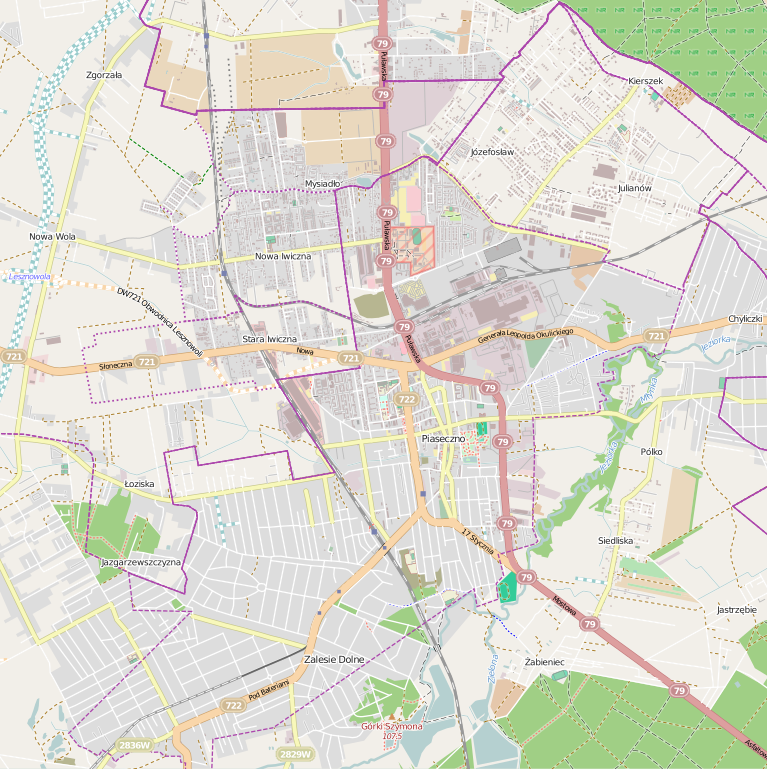
Polski: Mapa Piaseczna, Polska
English: Map of Piaseczno, Poland |
|||||||||
| Date | ||||||||||
| Source | You may find a page on the OpenStreetMap wiki page for Piaseczno | |||||||||
| Creator |
OpenStreetMap contributors OpenStreetMap contributors |
|||||||||
| Permission (Reusing this file) |
OpenStreetMap data is available under the Open Database License (details). Map tiles are licensed under the Creative Commons Attribution-ShareAlike 2.0 license (CC-BY-SA 2.0).
This file is licensed under the Creative Commons Attribution-Share Alike 2.0 Generic license.
|
|||||||||
| Geotemporal data | ||||||||||
| Bounding box |
|
|||||||||
| Georeferencing | If inappropriate please set warp_status = skip to hide. | |||||||||
File history
Click on a date/time to view the file as it appeared at that time.
| Date/Time | Thumbnail | Dimensions | User | Comment | |
|---|---|---|---|---|---|
| current | 18:14, 8 May 2014 | | 1,088 × 1,090 (3.53 MB) | ArkadiuszZ (talk | contribs) | {{OpenStreetMap | name = Piaseczno | location = Piaseczno | description = {{pl|Mapa Piaseczna, Polska}} {{en|Map of Piaseczno, Poland}} | top = 52.1131 | left = 20.9638 | right = 21.0732... |
You cannot overwrite this file.
File usage on Commons
There are no pages that use this file.
File usage on other wikis
The following other wikis use this file:
- Usage on pl.wikipedia.org
- Piaseczno (stacja kolejowa)
- Polkolor
- Lamina
- Zespół Szkół Nr 1 w Piasecznie
- Zalesie Dolne
- Ratusz w Piasecznie
- Piaseczno (zajezdnia autobusowa)
- Cmentarz żydowski w Piasecznie
- Ulica Puławska w Piasecznie
- Piaseczno Miasto Wąskotorowe
- Parafia św. Anny w Piasecznie (powiat piaseczyński)
- Parafia Matki Bożej Różańcowej w Piasecznie
- Parafia Najświętszej Maryi Panny Wspomożenia Wiernych w Piasecznie-Zalesiu Dolnym
- Piaseczno Wiadukt
- Piaseczno Zalesie
- Piaseczno Zalesinek
- Piaseczno Przemysłowe
- Piaseczno Północne
- Piaseczno Gołków
- Piaseczno Chyliczki
- Cmentarz rzymskokatolicki w Piasecznie
- Zbór Kościoła Chrześcijan Baptystów „Drzewo Pana” w Piasecznie
- Muzeum Regionalne w Piasecznie
- Kościół św. Anny w Piasecznie
- Moduł:Mapa/dane/Piaseczno
- Willa Runo w Zalesiu Dolnym
- Plac Józefa Piłsudskiego w Piasecznie
- Stadion Miejski w Piasecznie
- Orężna
- Gołków-Letnisko
- Zalesinek
- Chyliczki Wschodnie
- Piaseczno Wąskotorowe Północne
- IV Liceum Ogólnokształcące im. rotmistrza Witolda Pileckiego w Piasecznie
- Piaseczno Przeładunkowa
- Parafia św. Jozafata Kuncewicza w Piasecznie
- Chyliczki (Piaseczno)
- Wola Piasecka (Piaseczno)
- Osiedle Słowicza (Piaseczno)
- Gróbki (Piaseczno)
- Kradziejów (Piaseczno)
- Usage on pl.wikibooks.org
- Usage on pl.wikivoyage.org
- Usage on pt.wikipedia.org