File:Petra Great Temple 2391.jpg
Jump to navigation
Jump to search
Size of this preview: 800 × 532 pixels. Other resolutions: 320 × 213 pixels | 640 × 426 pixels | 1,024 × 682 pixels | 1,280 × 852 pixels | 2,560 × 1,704 pixels | 4,928 × 3,280 pixels.
Original file (4,928 × 3,280 pixels, file size: 10.99 MB, MIME type: image/jpeg)
Captions
Captions
Add a one-line explanation of what this file represents
Summary
[edit]
| Description |
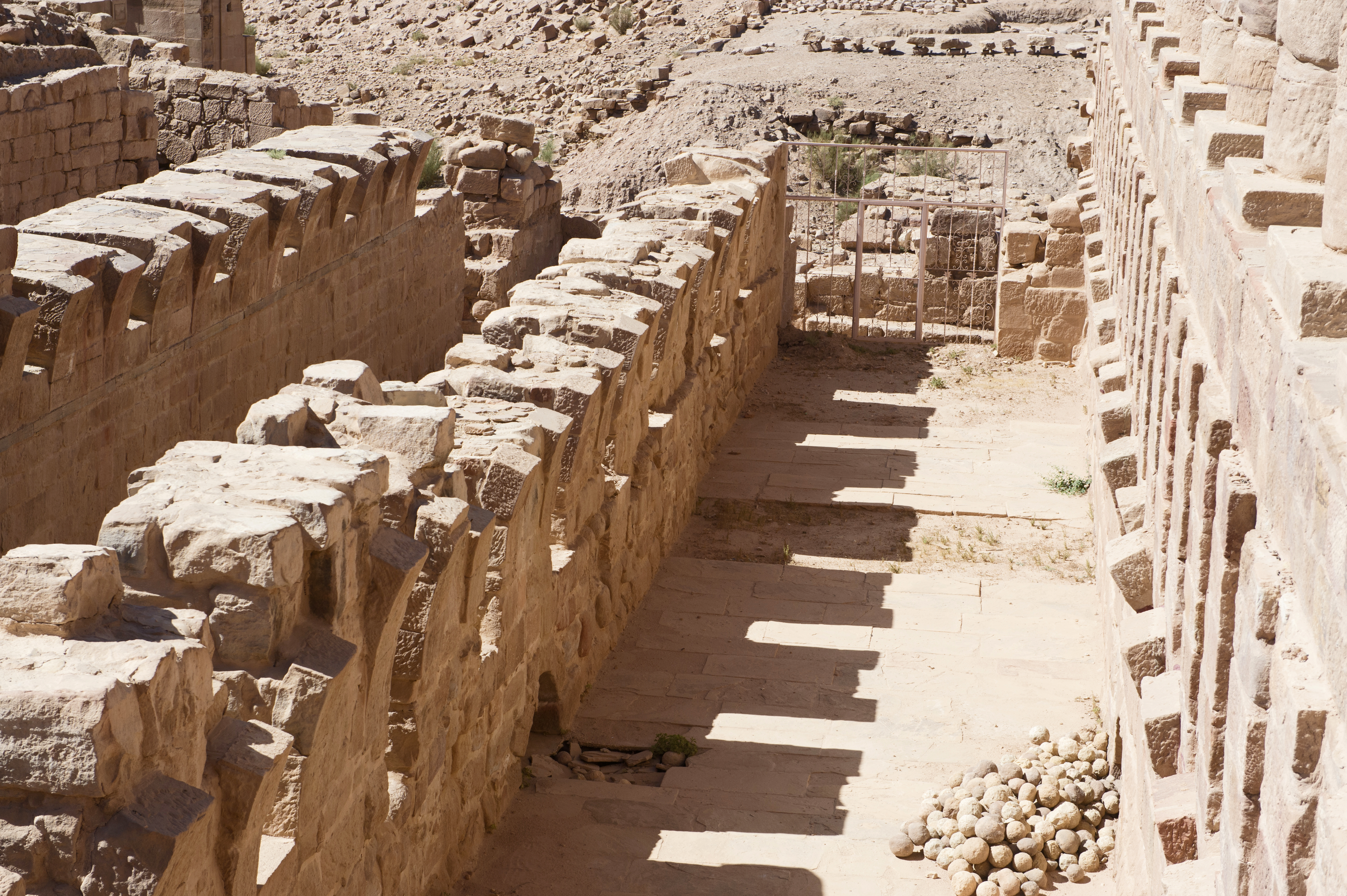
English: One of some pictures taken at the Grea\t Temple. A notice states: "The Great Temple complex represents one of the major archaeological and architectural components of central Petra. Since 1993, archaeologists from Brown University have been excavating this temple precinct. These investigations are conducted under the auspices of the Hashemite Kingdom of Jordan. The Great Temple precinct measures an estimated 7000 square meters, and is comprised, north-to-south, of a Propylae (monumental entryway), a Lower Temenos (sacred area), twin Exedrae (semi-circular structures) flanked by broad stairways; and an Upper Temenos – the sacred enclosure for the temple itself. In the Lower Temenos are triple colonnades on the east and west. Here, large limestone hexagonal pavers were positioned above an extensive water canalization system. With its red-and-white stuccoed exterior, the Great Temple must have had a dramatic impact when set against its rose-red environment. The temple is tetrastyle in antis (four large frontal columns) with solid outer walls, typical of Nabatean architecture, as is seen on the Kasr el Bint farther to the west. Approximately 15 meters in height, the columns plus the entablature they carried, would place the temple’s height at a minimum of 18 meters. The Great Temple measures 28 meters east-west and is 40 meters in length. The style and quality of the Temple’s elaborate floral friezes and acanthus-laden limestone capitals suggest that the sanctuary was constructed by the end of the first century BC by the Nabateans, who combined their native traditions with the classical spirit. The Great Temple was in use until some point in the late Byzantine period. "
As many pictures have GPS it should be possible to pinpoint where they were taken. |
| Date | |
| Source | Own work |
| Author | Dosseman |
| Camera location | | View this and other nearby images on: OpenStreetMap |
|---|
Licensing
[edit]
I, the copyright holder of this work, hereby publish it under the following license:
This file is licensed under the Creative Commons Attribution-Share Alike 4.0 International license.
- You are free:
- to share – to copy, distribute and transmit the work
- to remix – to adapt the work
- Under the following conditions:
- attribution – You must give appropriate credit, provide a link to the license, and indicate if changes were made. You may do so in any reasonable manner, but not in any way that suggests the licensor endorses you or your use.
- share alike – If you remix, transform, or build upon the material, you must distribute your contributions under the same or compatible license as the original.
File history
Click on a date/time to view the file as it appeared at that time.
| Date/Time | Thumbnail | Dimensions | User | Comment | |
|---|---|---|---|---|---|
| current | 11:21, 8 July 2021 | | 4,928 × 3,280 (10.99 MB) | Dosseman (talk | contribs) | Uploaded own work with UploadWizard |
You cannot overwrite this file.
File usage on Commons
There are no pages that use this file.