File:Paris - inondations - juin 2016 - 121.jpg
Jump to navigation
Jump to search

Size of this preview: 800 × 533 pixels. Other resolutions: 320 × 213 pixels | 640 × 427 pixels | 1,024 × 683 pixels | 1,280 × 853 pixels | 2,560 × 1,707 pixels | 5,472 × 3,648 pixels.
Original file (5,472 × 3,648 pixels, file size: 22 MB, MIME type: image/jpeg)
Captions
Captions
Add a one-line explanation of what this file represents
Summary
[edit]
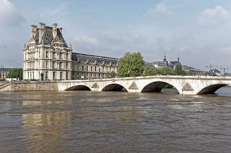
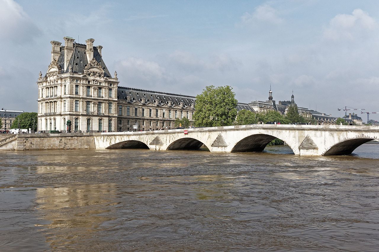
| Description | La crue de la Seine à Paris au printemps 2016 photographiée le 5 juin. |
| Date | |
| Source | Own work |
| Author | Thesupermat |
| Camera location | | View this and other nearby images on: OpenStreetMap |
|---|
The making of this document was supported by Wikimédia France. (Submit your project!)
|
This document was produced using the pack Atget lent by Wikimédia France.
|
Licensing
[edit]
I, the copyright holder of this work, hereby publish it under the following license:
This file is licensed under the Creative Commons Attribution-Share Alike 4.0 International license.
- You are free:
- to share – to copy, distribute and transmit the work
- to remix – to adapt the work
- Under the following conditions:
- attribution – You must give appropriate credit, provide a link to the license, and indicate if changes were made. You may do so in any reasonable manner, but not in any way that suggests the licensor endorses you or your use.
- share alike – If you remix, transform, or build upon the material, you must distribute your contributions under the same or compatible license as the original.
This image has been assessed using the Quality image guidelines and is considered a Quality image.
|
File history
Click on a date/time to view the file as it appeared at that time.
| Date/Time | Thumbnail | Dimensions | User | Comment | |
|---|---|---|---|---|---|
| current | 11:54, 6 June 2016 | | 5,472 × 3,648 (22 MB) | Thesupermat (talk | contribs) |
You cannot overwrite this file.
File usage on Commons
The following 4 pages use this file:
File usage on other wikis
The following other wikis use this file:
- Usage on fr.wikipedia.org