File:Olsztyn location map.png
Jump to navigation
Jump to search

Size of this preview: 663 × 599 pixels. Other resolutions: 266 × 240 pixels | 531 × 480 pixels | 959 × 867 pixels.
Original file (959 × 867 pixels, file size: 789 KB, MIME type: image/png)
Captions
Captions
Add a one-line explanation of what this file represents
| Description |
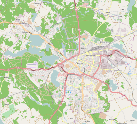
Polski: Mapa Olsztyna, Polska
English: Map of Olsztyn, Poland |
|||||||||
| Date | ||||||||||
| Source | You may find a page on the OpenStreetMap wiki page for Olsztyn | |||||||||
| Creator |
OpenStreetMap contributors OpenStreetMap contributors |
|||||||||
| Permission (Reusing this file) |
OpenStreetMap data is available under the Open Database License (details). Map tiles are licensed under the Creative Commons Attribution-ShareAlike 2.0 license (CC-BY-SA 2.0).
This file is licensed under the Creative Commons Attribution-Share Alike 2.0 Generic license.
|
|||||||||
| Geotemporal data | ||||||||||
| Bounding box |
|
|||||||||
| Georeferencing | If inappropriate please set warp_status = skip to hide. | |||||||||
File history
Click on a date/time to view the file as it appeared at that time.
| Date/Time | Thumbnail | Dimensions | User | Comment | |
|---|---|---|---|---|---|
| current | 10:09, 16 January 2013 | | 959 × 867 (789 KB) | Smat (talk | contribs) | {{OpenStreetMap | name = Olsztyn | location = Olsztyna | description = {{pl|Mapa Olsztyna, Polska}} {{en|Map of Olsztyn, Poland}} | top = 53.8288 | left = 20.3676 | right = 20.565 | botto... |
You cannot overwrite this file.
File usage on Commons
The following page uses this file:
File usage on other wikis
The following other wikis use this file:
- Usage on fr.wikipedia.org
- Usage on pl.wikipedia.org
- Uniwersytet Warmińsko-Mazurski w Olsztynie
- Lotnisko Olsztyn-Dajtki
- Skanda
- Jezioro Kortowskie
- Jezioro Długie (Olsztyn)
- Chorągiew Warmińsko-Mazurska ZHP
- RTCN Olsztyn Pieczewo
- III Liceum Ogólnokształcące im. Mikołaja Kopernika w Olsztynie
- Warmińsko-Mazurska Filharmonia im. Feliksa Nowowiejskiego w Olsztynie
- Wyższa Szkoła Informatyki i Ekonomii TWP w Olsztynie
- Zamek Kapituły Warmińskiej w Olsztynie
- Osiedle Mleczna
- Metropolia warmińska
- Ukiel
- Jezioro Trackie
- Redykajny (jezioro)
- Jezioro Starodworskie
- Czarne Jezioro (Olsztyn)
- Sukiel
- Podkówka
- Żbik (jezioro)
- Pereszkowo
- Tyrsko
- Kortówka
- Jezioro Modrzewiowe
- Mummel
- Warmińsko-Mazurska Specjalna Strefa Ekonomiczna
- Olsztyn Główny
- Selani Studio
- Aleja Marszałka Józefa Piłsudskiego w Olsztynie
- Olsztyn Zachodni
- Ulica Tomasza Wilczyńskiego w Olsztynie
- Olsztyn Gutkowo
- Aleja Władysława Sikorskiego w Olsztynie
- Ulica Ignacego Krasickiego w Olsztynie
- Ulica Synów Pułku w Olsztynie
- Ulica Stefana Wyszyńskiego w Olsztynie
- Planetarium w Olsztynie
- Cmentarz żydowski w Olsztynie
- Ulica Władysława Leonharda w Olsztynie
- Ulica Wincentego Pstrowskiego w Olsztynie
- Ulica Bałtycka w Olsztynie
- Obserwatorium Astronomiczne w Olsztynie
- Aleja Wojska Polskiego w Olsztynie
- Ulica Jagiellońska w Olsztynie
- Ulica Lubelska w Olsztynie
- Ulica Towarowa w Olsztynie
- Ulica Dworcowa w Olsztynie
- Ulica Seweryna Pieniężnego w Olsztynie
View more global usage of this file.