File:Obcine Slovenija 2006 Smarjeske Toplice.svg
Jump to navigation
Jump to search

Size of this PNG preview of this SVG file: 800 × 522 pixels. Other resolutions: 320 × 209 pixels | 640 × 418 pixels | 1,024 × 668 pixels | 1,280 × 835 pixels | 2,560 × 1,670 pixels | 2,613 × 1,705 pixels.
Original file (SVG file, nominally 2,613 × 1,705 pixels, file size: 2.36 MB)
Captions
Captions
Add a one-line explanation of what this file represents
Summary
[edit]
| Description |
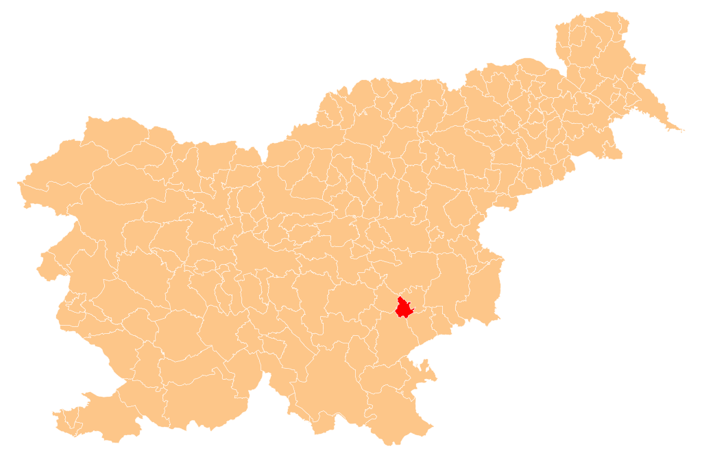
English: Občina Šmarješke Toplice (marked red) on map of the municipalities (občine) of the Republic of Slovenia, as since May 2006 (210 units). |
| Date | |
| Source | Manipulated Image:Obcine Slovenija 2006.svg in text editor. |
| Author | Source of the public data is GURS (Geodetska uprava Republike Slovenije or Surveying and Mapping Authority of the Republic of Slovenia). Converted from Shapefile to SVG with shp2svg and prepared for Wikipedia by romanm (talk). |
| Permission (Reusing this file) |
Public domain. See Image:Obcine Slovenija 2006.svg for an explanation. |
Licensing
[edit]
| I, the copyright holder of this work, release this work into the public domain. This applies worldwide. In some countries this may not be legally possible; if so: I grant anyone the right to use this work for any purpose, without any conditions, unless such conditions are required by law. |
File history
Click on a date/time to view the file as it appeared at that time.
| Date/Time | Thumbnail | Dimensions | User | Comment | |
|---|---|---|---|---|---|
| current | 05:15, 28 May 2009 | | 2,613 × 1,705 (2.36 MB) | Romanm (talk | contribs) | {{Information |Description={{en|1=''Občina Šmarješke Toplice'' (marked red) on map of the municipalities (''občine'') of the Republic of Slovenia, as since May 2006 (210 units).}} |Source=Manipulated Image:Obcine Slovenija 2006.svg in text editor |
You cannot overwrite this file.
File usage on Commons
The following 2 pages use this file:
File usage on other wikis
The following other wikis use this file:
- Usage on cs.wikipedia.org
- Usage on de.wikipedia.org
- Usage on en.wikipedia.org
- Šmarješke Toplice
- Template:Šmarješke Toplice
- Bela Cerkev
- Šmarjeta
- Žaloviče
- Brezovica, Šmarješke Toplice
- Čelevec, Šmarješke Toplice
- Dol pri Šmarjeti
- Dolenje Kronovo
- Draga, Šmarješke Toplice
- Družinska Vas
- Gorenja Vas pri Šmarjeti
- Gradenje
- Grič pri Klevevžu
- Hrib, Šmarješke Toplice
- Koglo
- Mala Strmica
- Orešje, Šmarješke Toplice
- Radovlja
- Sela pri Zburah
- Sela, Šmarješke Toplice
- Strelac, Šmarješke Toplice
- Vinica pri Šmarjeti
- Vinji Vrh, Šmarješke Toplice
- Zbure
- Municipality of Šmarješke Toplice
- Usage on eo.wikipedia.org
- Usage on hr.wikipedia.org
- Usage on id.wikipedia.org
- Usage on it.wikipedia.org
- Usage on ja.wikipedia.org
- Usage on ko.wikipedia.org
- Usage on pl.wikipedia.org
- Usage on pt.wikipedia.org
- Usage on ro.wikipedia.org
- Usage on ru.wikipedia.org
- Usage on sh.wikipedia.org
- Usage on sl.wikipedia.org
- Usage on sr.wikipedia.org
- Usage on tt.wikipedia.org
- Usage on uk.wikipedia.org
- Usage on vi.wikipedia.org
- Usage on www.wikidata.org
- Usage on zh-min-nan.wikipedia.org
- Usage on zh.wikipedia.org