File:Northwest region location map.svg
Jump to navigation
Jump to search

Size of this PNG preview of this SVG file: 660 × 600 pixels. Other resolutions: 264 × 240 pixels | 528 × 480 pixels | 845 × 768 pixels | 1,126 × 1,024 pixels | 2,253 × 2,048 pixels | 1,111 × 1,010 pixels.
Original file (SVG file, nominally 1,111 × 1,010 pixels, file size: 638 KB)
Captions
Captions
Add a one-line explanation of what this file represents
Summary
[edit]| Description |
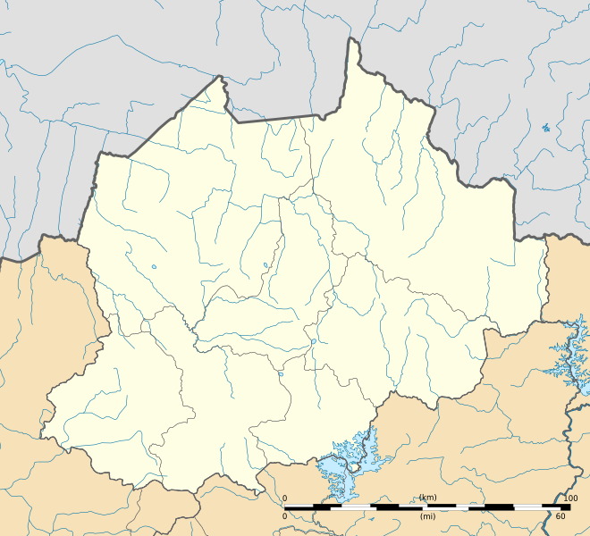
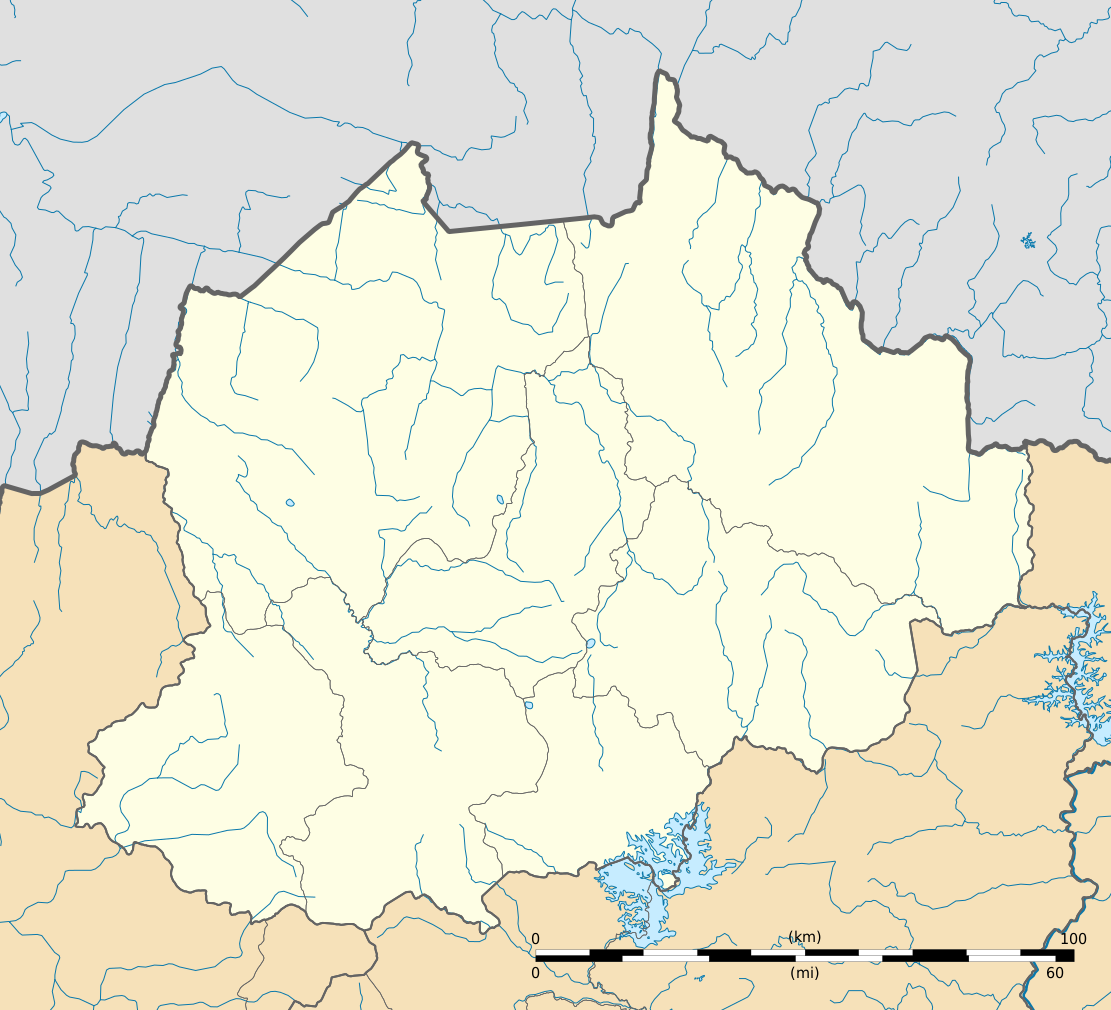
Français : Carte administrative vierge de la région du Nord-Ouest, Cameroun, destinée à la géolocalisation.
Limites géographiques de la carte :
+proj=laea +lat_0=7.37 +lon_0=12.34 +x_0=0 +y_0=0 +datum=WGS84 +units=m +no_defs. |
| Date | |
| Source |
Own work
Sources of data: |
| Author | Flappiefh |
| Other versions |
|

Licensing
[edit]
I, the copyright holder of this work, hereby publish it under the following license:
This file is licensed under the Creative Commons Attribution-Share Alike 4.0 International license.
- You are free:
- to share – to copy, distribute and transmit the work
- to remix – to adapt the work
- Under the following conditions:
- attribution – You must give appropriate credit, provide a link to the license, and indicate if changes were made. You may do so in any reasonable manner, but not in any way that suggests the licensor endorses you or your use.
- share alike – If you remix, transform, or build upon the material, you must distribute your contributions under the same or compatible license as the original.
File history
Click on a date/time to view the file as it appeared at that time.
| Date/Time | Thumbnail | Dimensions | User | Comment | |
|---|---|---|---|---|---|
| current | 08:08, 17 August 2016 | | 1,111 × 1,010 (638 KB) | Flappiefh (talk | contribs) | User created page with UploadWizard |
You cannot overwrite this file.
File usage on Commons
The following 2 pages use this file:
File usage on other wikis
The following other wikis use this file:
- Usage on fr.wikipedia.org
- Bamenda
- Kumbo
- Wum
- Ndop (commune)
- Mbengwi
- Nkambé
- Fundong
- Baligham
- Aéroport de Bamenda
- Bali (Cameroun)
- Université de Bamenda
- Fonfuka
- Belo (Cameroun)
- Njinikom
- Jakiri
- Mbiame
- Nkum
- Nkor
- Tatum (Cameroun)
- Ako (Cameroun)
- Misaje
- Ndu
- Nwa
- Zhoa
- Benakuma
- Furu-Awa
- Andek
- Batibo
- Njikwa
- Widikum-Boffe
- Bafut (Cameroun)
- Tubah
- Santa (Cameroun)
- Babessi
- Balikumbat
- Fungom
- Wainamah
- Bamunkumbit
- Chomba
- Guneku
- Bambalang
- Alatening
- Bafanji (Balikumbat)
- Akum (Furu-Awa)
- Bamunka (Ndop)
- Kedjom Keku
- Kedjom Ketinguh
- Kpep
- Adere
- Sambari
View more global usage of this file.