File:Niger, Margou (14), street scene with children and truck.jpg
Jump to navigation
Jump to search

Size of this preview: 800 × 562 pixels. Other resolutions: 320 × 225 pixels | 640 × 450 pixels | 1,024 × 720 pixels | 1,280 × 900 pixels | 2,560 × 1,800 pixels | 3,124 × 2,196 pixels.
Original file (3,124 × 2,196 pixels, file size: 2.05 MB, MIME type: image/jpeg)
Captions
Captions
Add a one-line explanation of what this file represents
Summary
[edit],_street_scene_with_children_and_truck.jpg&action=edit§ion=1)
| Description |
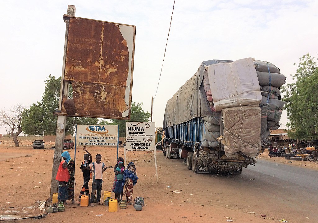
English: A street scene with children and a truck in the Koudou Gandé (= Margou Benné) neighborhood of Margou, a village in southwestern Niger along the Route Nationale No.1, 7.8 km West of Birni N'Gaouré (Dosso region, Boboye department, Birni N'Gaouré commune).
Français : Scène avec enfants et un camion dans le quartier de Koudou Gandé (= Margou Benné) à Margou, village du sud-ouest du Niger situé le long de la Route Nationale N° 1, 7,8 km à l'ouest de Birni N'Gaouré (région de Dosso, département de Boboye, commune de Birni N'Gaouré). |
| Date | |
| Source | Own work |
| Author | NigerTZai |
Looking to the Northwest from:
| Camera location | | View this and other nearby images on: OpenStreetMap |
|---|
,_street_scene_with_children_and_truck.jpg¶ms=013.105550_N_0002.841231_E_globe:Earth_type:camera__&language=en)
Licensing
[edit],_street_scene_with_children_and_truck.jpg&action=edit§ion=2)
I, the copyright holder of this work, hereby publish it under the following licenses:
This file is licensed under the Creative Commons Attribution-Share Alike 4.0 International license.
- You are free:
- to share – to copy, distribute and transmit the work
- to remix – to adapt the work
- Under the following conditions:
- attribution – You must give appropriate credit, provide a link to the license, and indicate if changes were made. You may do so in any reasonable manner, but not in any way that suggests the licensor endorses you or your use.
- share alike – If you remix, transform, or build upon the material, you must distribute your contributions under the same or compatible license as the original.

|
Permission is granted to copy, distribute and/or modify this document under the terms of the GNU Free Documentation License, Version 1.2 or any later version published by the Free Software Foundation; with no Invariant Sections, no Front-Cover Texts, and no Back-Cover Texts. A copy of the license is included in the section entitled GNU Free Documentation License. |
You may select the license of your choice.
File history
Click on a date/time to view the file as it appeared at that time.
| Date/Time | Thumbnail | Dimensions | User | Comment | |
|---|---|---|---|---|---|
| current | 23:00, 23 May 2019 | | 3,124 × 2,196 (2.05 MB) | NigerTZai (talk | contribs) | {{Information |description ={{en|1=A street scene with children and a truck in the Koudou Gandé (= Margou Benné) neighborhood of Margou, a village in southwestern Niger along the Route Nationale No.1, 7.8 km West of Birni N'Gaouré (Dosso region, Boboye department, Birni N'Gaouré commune).}} {{fr|1=Scène avec enfants et un camion dans le quartier de Koudou Gandé (= Margou Benné) à Margou, village du sud-ouest du Niger situé le long de la Route Nationale N° 1, 7,8 km à l'ouest de Birni N'Gaou... |
You cannot overwrite this file.
File usage on Commons
There are no pages that use this file.
,_street_scene_with_children_and_truck.jpg&oldid=853611933)