File:Murkšķu audzētava "Jaunstuči" , Marmot farm "Jaunstuči" - panoramio (2).jpg
Jump to navigation
Jump to search
Size of this preview: 800 × 600 pixels. Other resolutions: 320 × 240 pixels | 640 × 480 pixels | 1,024 × 768 pixels | 1,280 × 960 pixels | 2,560 × 1,920 pixels | 3,264 × 2,448 pixels.
Original file (3,264 × 2,448 pixels, file size: 2.93 MB, MIME type: image/jpeg)
Captions
Captions
Add a one-line explanation of what this file represents
Summary
[edit].jpg&action=edit§ion=1)
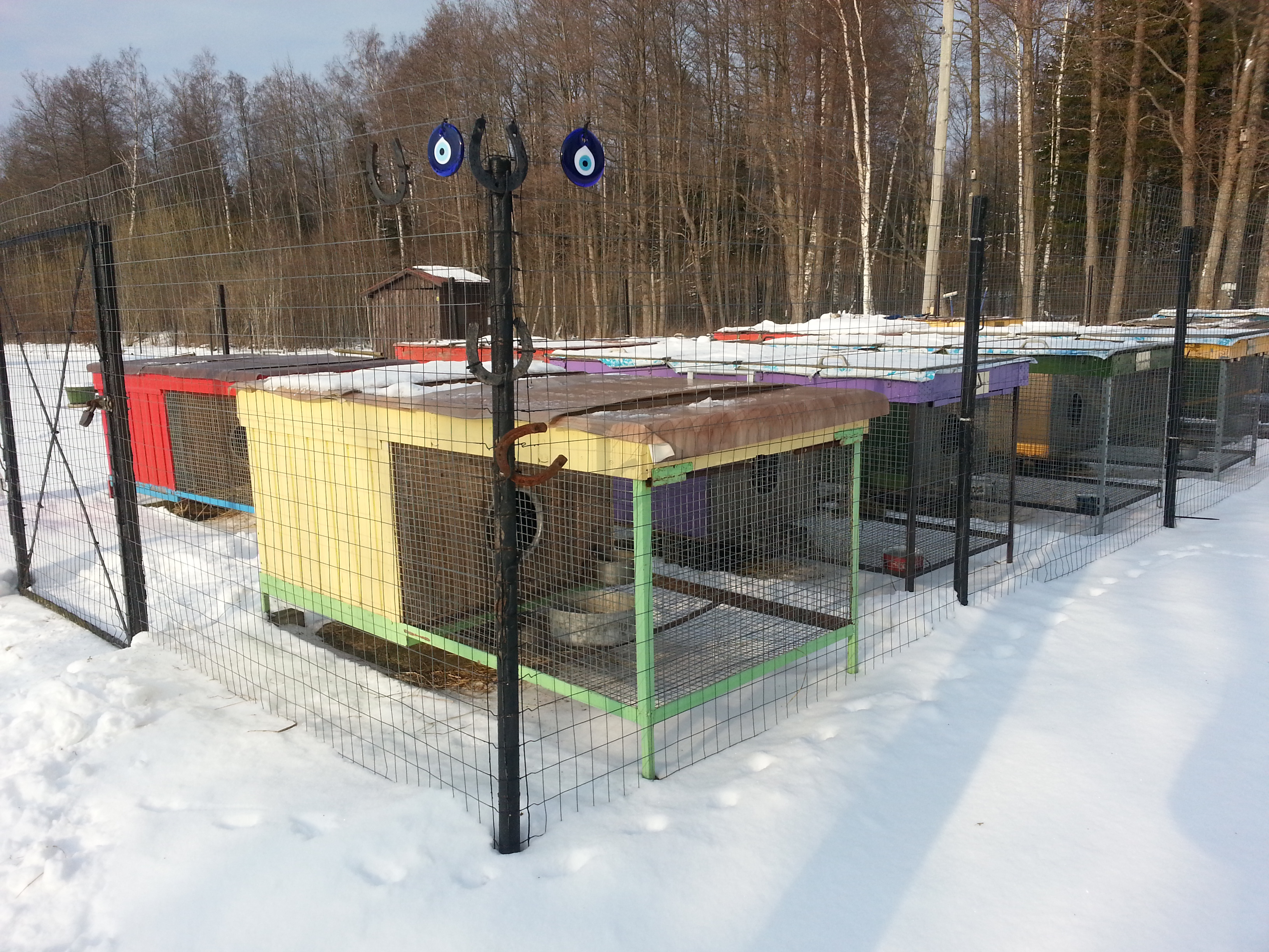
| Description | Murkšķu audzētava "Jaunstuči", Marmot farm "Jaunstuči" | ||
| Date | Taken on 23 February 2013 | ||
| Source | https://web.archive.org/web/20161025080710/http://www.panoramio.com/photo/86539097 | ||
| Author | Maris Teteris | ||
| Permission (Reusing this file) |
This file is licensed under the Creative Commons Attribution 3.0 Unported license. Attribution: Maris Teteris
|
||
| Tags (from Panoramio photo page) | Alsungas novads, 2013, Alsunga municipality, Alsungas novads, Groundhog, Latvia, Marmot, Murkšķis, Reģi, Suiti |
| Camera location | | View this and other nearby images on: OpenStreetMap |
|---|
.jpg¶ms=056.997778_N_0021.621111_E_globe:Earth_type:camera_source:Panoramio_&language=en)
File history
Click on a date/time to view the file as it appeared at that time.
| Date/Time | Thumbnail | Dimensions | User | Comment | |
|---|---|---|---|---|---|
| current | 18:54, 9 February 2017 | | 3,264 × 2,448 (2.93 MB) | Panoramio upload bot (talk | contribs) | == {{int:filedesc}} == {{Information |description=Murkšķu audzētava "Jaunstuči" | Marmot farm "Jaunstuči" |date={{Taken on|2013-02-23}} |source=http://www.panoramio.com/photo/86539097 |author=[http://www.panoramio.com/user/1763701?with_photo_id=86... |
You cannot overwrite this file.
File usage on Commons
There are no pages that use this file.
.jpg&oldid=777535700)