File:Moscow Oblast Location map.png
Jump to navigation
Jump to search
No higher resolution available.
Moscow_Oblast_Location_map.png (635 × 599 pixels, file size: 95 KB, MIME type: image/png)
Captions
Captions
Add a one-line explanation of what this file represents
Summary
[edit]
| Description |
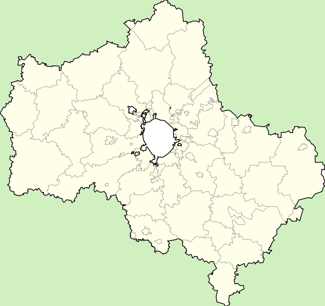
English: Russia_Moscow_oblast_locator_map with simplified boundaries
Русский: Позиционная карта Московской области с упрощенными границами |
| Date | June 24 2008 (2009-06-18) |
| Source | File:Russia Moscow oblast location map.svg |
| Author | Bogomolov.PL adapted by Dr. Blofeld |
| Other versions | Russia Moscow oblast locator map.svg |
N=56.9611 S=54.2557 W=35.1435 E=40.2035
Licensing
[edit]
| I, the copyright holder of this work, release this work into the public domain. This applies worldwide. In some countries this may not be legally possible; if so: I grant anyone the right to use this work for any purpose, without any conditions, unless such conditions are required by law. |
File history
Click on a date/time to view the file as it appeared at that time.
| Date/Time | Thumbnail | Dimensions | User | Comment | |
|---|---|---|---|---|---|
| current | 14:58, 19 July 2009 | | 635 × 599 (95 KB) | Dr. Blofeld~commonswiki (talk | contribs) | {{Information |Description={{en|1=h}} |Source=h |Author=h |Date=h |Permission= |other_versions= }} |
You cannot overwrite this file.
File usage on Commons
There are no pages that use this file.