File:Moscow Map of Zamoskvorechye 1760s small.jpg
Jump to navigation
Jump to search
Size of this preview: 656 × 599 pixels. Other resolutions: 263 × 240 pixels | 526 × 480 pixels | 841 × 768 pixels | 1,200 × 1,096 pixels.
Original file (1,200 × 1,096 pixels, file size: 634 KB, MIME type: image/jpeg)
Captions
Captions
Add a one-line explanation of what this file represents
Summary
[edit]
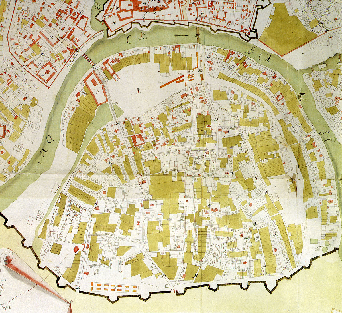
| Description | Map of southern Moscow (Yakimanka, Zamoskvorechye districts). 1760-1768. |
| Date | between 1760 and 1768 |
| Source | Scan from Памятники архитектуры Москвы. Замоскворечье — М.: Искусство, 1994. ISBN 5-210-02548-9 |
| Author | State topographers, editor: Pyotr Gorikhvostov |
| Permission (Reusing this file) |
PD, 240 years old |
Licensing
[edit]
|
This work is in the public domain in its country of origin and other countries and areas where the copyright term is the author's life plus 100 years or fewer. | |
| This file has been identified as being free of known restrictions under copyright law, including all related and neighboring rights. | |
File history
Click on a date/time to view the file as it appeared at that time.
| Date/Time | Thumbnail | Dimensions | User | Comment | |
|---|---|---|---|---|---|
| current | 19:27, 16 February 2008 | | 1,200 × 1,096 (634 KB) | NVO (talk | contribs) | == Summary == {{Information |Description=Map of southern Moscow (Yakimanka, Zamoskvorechye districts). 1760-1768. |Source=1999 edition of Памятники архитектуры Москвы. Замоскворечье. |Date=1760-1768 |Author=State to |
You cannot overwrite this file.
File usage on Commons
There are no pages that use this file.
File usage on other wikis
The following other wikis use this file:
- Usage on ceb.wikipedia.org
- Usage on ru.wikipedia.org
- Usage on www.wikidata.org