File:Mo-hwy-sys.png
Jump to navigation
Jump to search
No higher resolution available.
Mo-hwy-sys.png (763 × 586 pixels, file size: 41 KB, MIME type: image/png)
Captions
Captions
Add a one-line explanation of what this file represents
Summary
[edit]
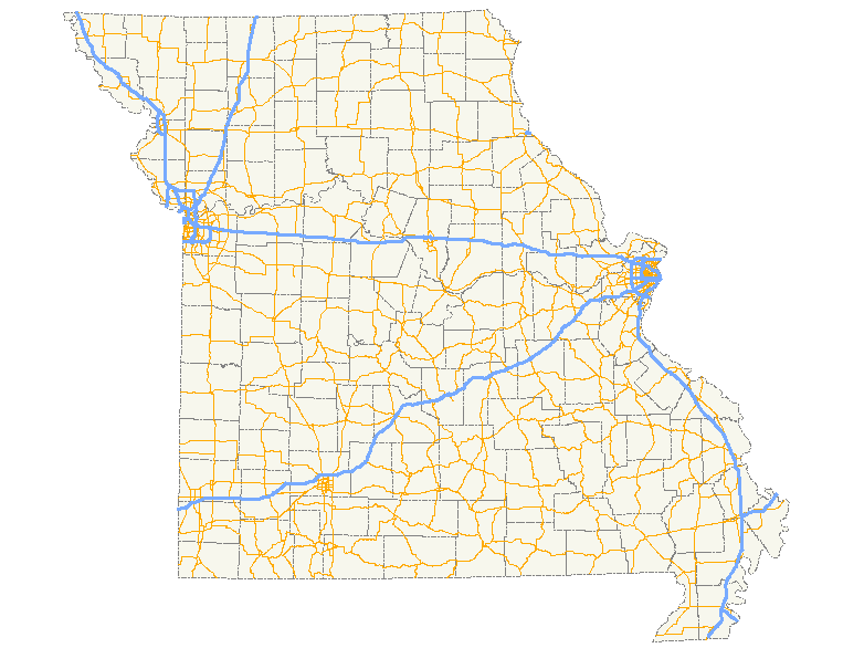
| Description | A map showing the path of all numbered state highways in Missouri. |
| Date | |
| Source | Created by me in Quantum GIS 0.8.1 based on data collected from the Census Bureau (the county outlines) and the Federal Highway Administration (the roads). |
| Author | Scott Nazelrod |
| Permission (Reusing this file) |
Public domain, credit appreciated but not required |
Licensing
[edit]
| I, the copyright holder of this work, release this work into the public domain. This applies worldwide. In some countries this may not be legally possible; if so: I grant anyone the right to use this work for any purpose, without any conditions, unless such conditions are required by law. |
File history
Click on a date/time to view the file as it appeared at that time.
| Date/Time | Thumbnail | Dimensions | User | Comment | |
|---|---|---|---|---|---|
| current | 07:52, 15 August 2007 | | 763 × 586 (41 KB) | Scott5114 (talk | contribs) | == Summary == {{Information |Description=A map showing the path of all numbered state highways in Missouri. |Source=Created by me in Quantum GIS 0.8.1 based on data collected from [http://www.census.gov/geo/www/cob/co2000.html the Census Bureau] (the cou |
You cannot overwrite this file.
File usage on Commons
There are no pages that use this file.
File usage on other wikis
The following other wikis use this file:
- Usage on eo.wikipedia.org