File:Mapa do bairro Olaria Nova Friburgo.png
Jump to navigation
Jump to search
Size of this preview: 800 × 494 pixels. Other resolutions: 320 × 198 pixels | 640 × 395 pixels | 1,024 × 632 pixels | 1,362 × 841 pixels.
Original file (1,362 × 841 pixels, file size: 306 KB, MIME type: image/png)
Captions
Captions
Add a one-line explanation of what this file represents
Summary
[edit]
| Description |
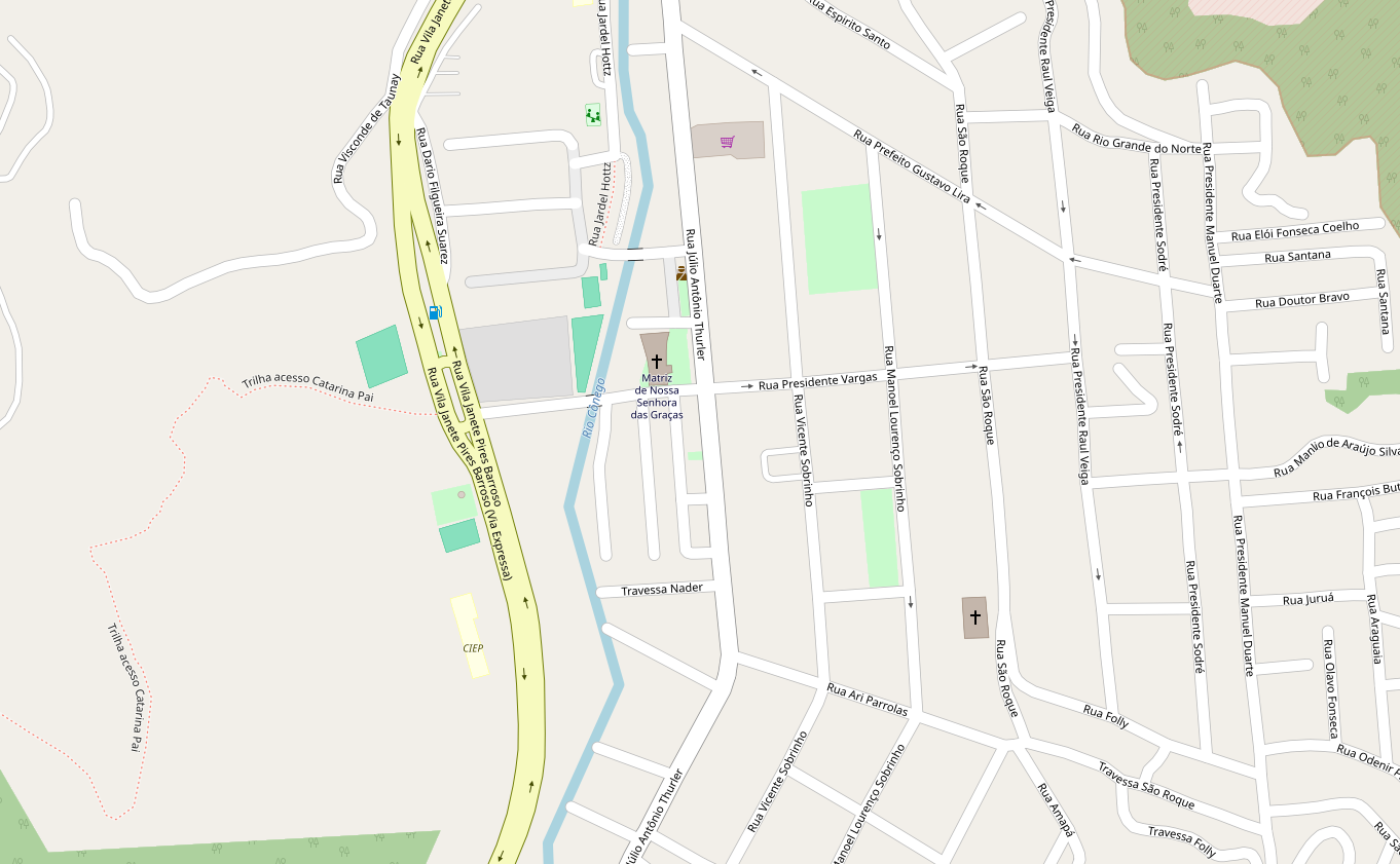
English: Partial map of the Olaria's Nova Friburgo neighbourhoods |
| Date | |
| Source | https://www.openstreetmap.org/#map=17/-22.30534/-42.54019 |
| Author | Unknown author |
Licensing
[edit]
| Description |
This map was created from OpenStreetMap project data, collected by the community. This map may be incomplete, and may contain errors. Don't rely solely on it for navigation. |
|||
| Date | (see file history) | |||
| Source | openstreetmap.org | |||
| Creator |
OpenStreetMap contributors |
|||
| Permission (Reusing this file) |
OpenStreetMap data is available under the Open Database License (details). Map tiles are licensed under the Creative Commons Attribution-ShareAlike 2.0 license (CC-BY-SA 2.0).
This file is licensed under the Creative Commons Attribution-Share Alike 2.0 Generic license.
|
|||
| Georeferencing | If inappropriate please set warp_status = skip to hide. |
File history
Click on a date/time to view the file as it appeared at that time.
| Date/Time | Thumbnail | Dimensions | User | Comment | |
|---|---|---|---|---|---|
| current | 18:26, 6 April 2024 | | 1,362 × 841 (306 KB) | Vitorperrut555 (talk | contribs) | Better |
| 18:25, 6 April 2024 |  | 1,383 × 850 (536 KB) | Vitorperrut555 (talk | contribs) | Uploaded a work by {{Unknown|author}} from https://www.openstreetmap.org/#map=17/-22.30534/-42.54019 with UploadWizard |
You cannot overwrite this file.
File usage on Commons
The following 2 pages use this file: