
File:Mapa Kluczborka.png
Size of this preview: 671 × 599 pixels. Other resolutions: 269 × 240 pixels | 538 × 480 pixels | 860 × 768 pixels | 1,147 × 1,024 pixels | 2,077 × 1,855 pixels.
Original file (2,077 × 1,855 pixels, file size: 2.49 MB, MIME type: image/png)
Captions
Captions
Add a one-line explanation of what this file represents
Summary
[edit]
| Description |
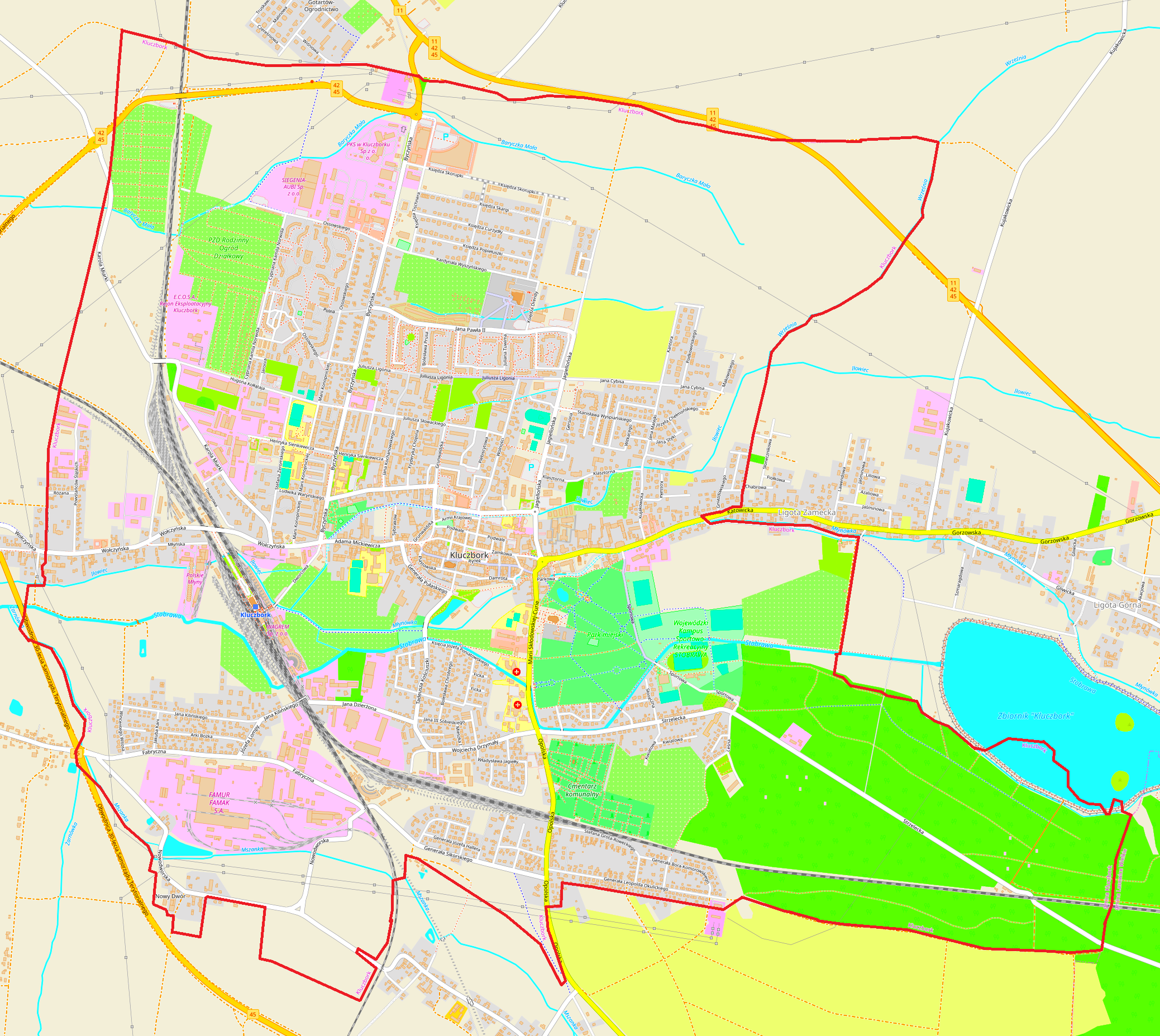
Polski: Mapa Kluczborka |
| Date | |
| Source | OpenStreetMap |
| Author | OpenStreetMap contributors |
Licensing
[edit]
| This work contains information from OpenStreetMap, which is made available under the Open Database License (ODbL).
The ODbL does not require any particular license for maps produced from ODbL data. Prior to 1 August 2020, map tiles produced by the OpenStreetMap Foundation were licensed under the CC-BY-SA-2.0 license. Maps produced by other people may be subject to other licences. |
File history
Click on a date/time to view the file as it appeared at that time.
| Date/Time | Thumbnail | Dimensions | User | Comment | |
|---|---|---|---|---|---|
| current | 12:52, 12 March 2024 | | 2,077 × 1,855 (2.49 MB) | Smat (talk | contribs) | new |
| 22:57, 9 January 2013 |  | 888 × 941 (240 KB) | Bostary (talk | contribs) | User created page with UploadWizard |
You cannot overwrite this file.
File usage on Commons
The following page uses this file:
File usage on other wikis
The following other wikis use this file:
- Usage on pl.wikipedia.org
- Kluczbork (stacja kolejowa)
- Synagoga w Kluczborku
- Parafia Ewangelicko-Augsburska w Kluczborku
- Ratusz w Kluczborku
- Stadion Miejski w Kluczborku
- Parafia Matki Bożej Wspomożenia Wiernych w Kluczborku
- Parafia Najświętszego Serca Pana Jezusa w Kluczborku
- Cmentarz żydowski w Kluczborku
- Kościół Matki Bożej Wspomożenia Wiernych w Kluczborku
- Park miejski w Kluczborku
- Wikipedysta:Bogdan Starościak
- Kościół Najświętszego Serca Pana Jezusa w Kluczborku
- Cmentarz Żołnierzy Radzieckich w Kluczborku
- Kościół Chrystusa Zbawiciela w Kluczborku
- Kaplica cmentarna w Kluczborku
- Wikipedysta:Bogdan Starościak/Brudnopis 3.3
- Muzeum im. Jana Dzierżona w Kluczborku
- Wikiprojekt:Kluczbork/brudnopis/Muzeum im. Jana Dzierżona w Kluczborku
- Zakład Karny w Kluczborku
- Wodociągowa wieża ciśnień w Kluczborku
- Wikipedysta:Eryk Olejnik/Fabryka Maszyn i Urządzeń Famak
- Moduł:Mapa/dane/Kluczbork
- Wikipedysta:Bogdan Starościak/Brudnopis 4.10
- Ulrychów (Kluczbork)
- Pomnik ofiar I wojny światowej w Kluczborku
- Pomnik ks. dra Jana Dzierżona w Kluczborku
- Pomnik Adama Mickiewicza w Kluczborku
- Pomnik kupca Daniela Mietela w Kluczborku
- Kamienica przy ul. Damrota 14 w Kluczborku
- Zespół otwartych basenów w Kluczborku
- Nowy Dwór (Kluczbork)
- Usage on pl.wikibooks.org
- Usage on pl.wikiquote.org