File:Manchester WV map.png
Jump to navigation
Jump to search
Size of this preview: 625 × 599 pixels. Other resolutions: 250 × 240 pixels | 500 × 480 pixels | 801 × 768 pixels | 1,200 × 1,151 pixels.
Original file (1,200 × 1,151 pixels, file size: 1.04 MB, MIME type: image/png)
Captions
Captions
Add a one-line explanation of what this file represents
Summary
[edit]
| Description |
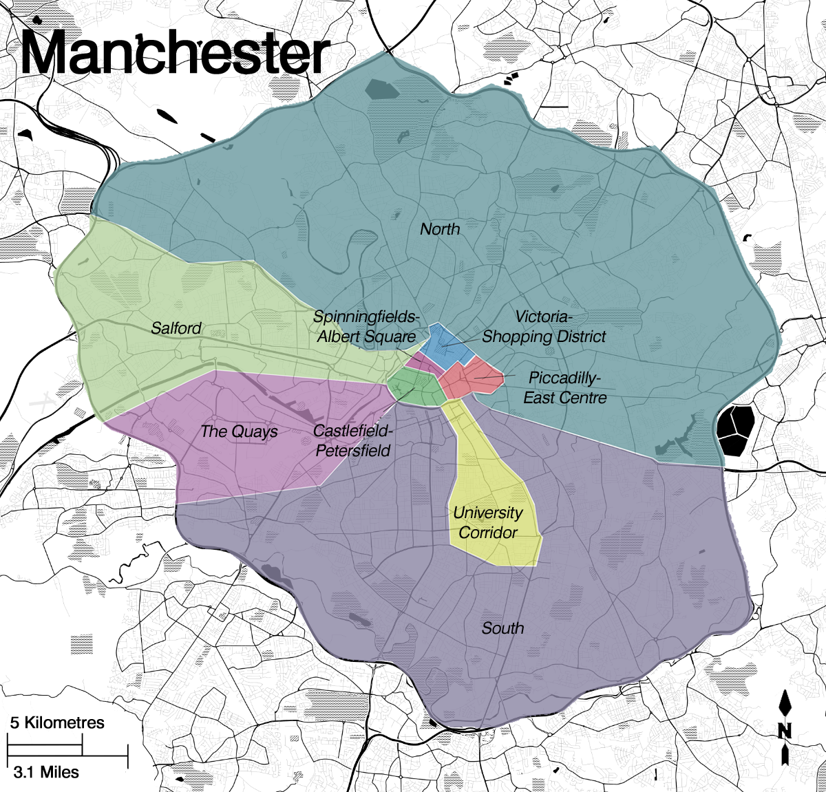
English: Overlaid map of Manchester for Wikivoyage. |
| Date | |
| Source | Existing map on top of B&W road map |
| Author |
|
.png)
Licensing
[edit]
This file is licensed under the Creative Commons Attribution-Share Alike 3.0 Unported license.
- You are free:
- to share – to copy, distribute and transmit the work
- to remix – to adapt the work
- Under the following conditions:
- attribution – You must give appropriate credit, provide a link to the license, and indicate if changes were made. You may do so in any reasonable manner, but not in any way that suggests the licensor endorses you or your use.
- share alike – If you remix, transform, or build upon the material, you must distribute your contributions under the same or compatible license as the original.
File history
Click on a date/time to view the file as it appeared at that time.
| Date/Time | Thumbnail | Dimensions | User | Comment | |
|---|---|---|---|---|---|
| current | 02:31, 6 January 2014 | | 1,200 × 1,151 (1.04 MB) | Nicholasjf21 (talk | contribs) | User created page with UploadWizard |
You cannot overwrite this file.
File usage on Commons
The following 33 pages use this file:
- Manchester
- Category:2000 in the City of Manchester
- Category:2008 in the City of Manchester
- Category:Births in Manchester
- Category:Canals in the City of Manchester
- Category:Cemeteries in the City of Manchester
- Category:City of Manchester in the 1970s
- Category:City of Manchester in the 1980s
- Category:City of Manchester in the 1990s
- Category:City of Manchester in the 19th century
- Category:City of Manchester in the 2000s
- Category:City of Manchester in the 2010s
- Category:City of Manchester in the 20th century
- Category:City of Manchester in the 21st century
- Category:Deaths in Manchester
- Category:Disused railway stations in the City of Manchester
- Category:Grade II listed buildings in the City of Manchester
- Category:Hospitals in the City of Manchester
- Category:Manchester
- Category:Manchester in the 1900s
- Category:Manchester in the 1910s
- Category:Manchester in the 1930s
- Category:Manchester in the 1940s
- Category:Manchester in the 1950s
- Category:Manchester in the 1960s
- Category:Maps of Manchester
- Category:Museums in the City of Manchester
- Category:Politics of the City of Manchester
- Category:Railway stations in the City of Manchester
- Category:Skyscrapers in the City of Manchester
- Category:Sports venues in the City of Manchester
- Category:Streets in the City of Manchester
- Category:Tram stops in the City of Manchester
File usage on other wikis
The following other wikis use this file:
- Usage on en.wikivoyage.org
- Usage on he.wikivoyage.org
- Usage on ia.wikipedia.org
- Usage on pl.wikivoyage.org
- Usage on pt.wikivoyage.org
- Usage on uk.wikivoyage.org
- Usage on www.wikidata.org
- Usage on zh.wikivoyage.org