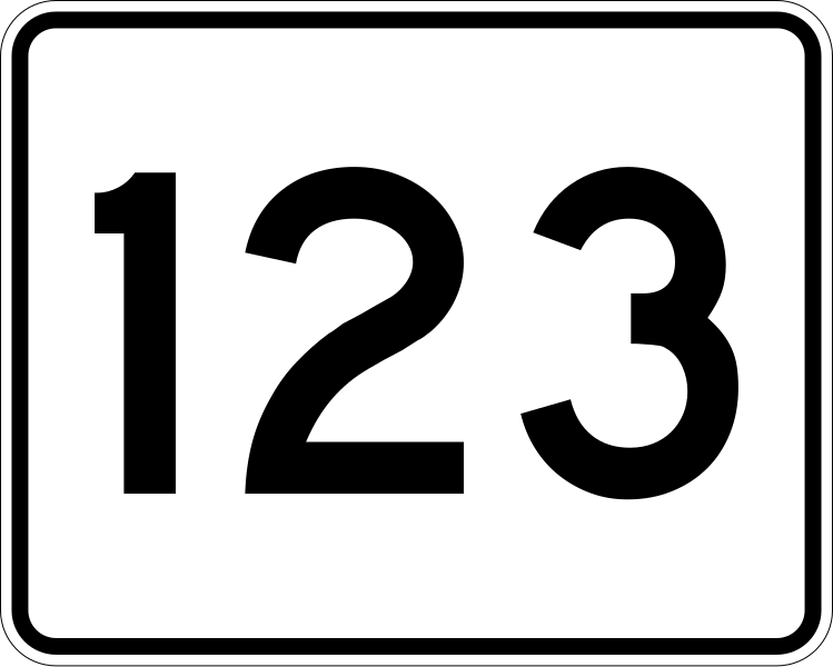
File:MA Route 123.svg
From Wikimedia Commons, the free media repository
Jump to navigation
Jump to search

Size of this PNG preview of this SVG file: 749 × 599 pixels. Other resolutions: 300 × 240 pixels | 600 × 480 pixels | 960 × 768 pixels | 1,280 × 1,024 pixels | 2,559 × 2,048 pixels | 751 × 601 pixels.
Original file (SVG file, nominally 751 × 601 pixels, file size: 6 KB)
File information
Structured data
Captions
Captions
Add a one-line explanation of what this file represents
Summary
[edit]| DescriptionMA Route 123.svg |
English: 750 mm by 600 mm (30 in by 24 in) Massachusetts Route shield, made to the specifications of the 1996 edition of Construction and Traffic Standard Details (sign M1-5). Uses the Roadgeek 2005 fonts. (United States law does not permit the copyrighting of typeface designs, and the fonts are meant to be copies of a U.S. Government-produced work anyway.) The outside border has a width of 1 (1 mm) and a color of black so it shows up; in reality, signs have no outside border. The specs actually do not show the curve on the outside border, instead making it a perfect rectangle, but all signs I have seen round the corners. |
| Source | Own work |
| Author | User:SPUI~commonswiki |
| Public domainPublic domainfalsefalse |
This file is in the public domain because it comes from the Massachusetts Amendments to the Manual on Uniform Traffic Control Devices, sign number M1-5, which states on p. 1 that Massachusetts has adopted the federal Manual on Uniform Traffic Control Devices except for "modifications that were deemed necessary to cover local requirements and to incorporate in these official standards the most recent traffic engineering recommendations of MassDOT." The federal MUTCD states specifically on its page I-1 that:
No amendments supersede this provision of the MUTCD. |
 |
File history
Click on a date/time to view the file as it appeared at that time.
| Date/Time | Thumbnail | Dimensions | User | Comment | |
|---|---|---|---|---|---|
| current | 11:34, 27 March 2006 |  | 751 × 601 (6 KB) | SPUI~commonswiki (talk | contribs) | {{spuiother}} 750 mm by 600 mm (30 in by 24 in) Massachusetts Route shield, made to the specifications of the [http://166.90.180.162/mhd/downloads/manuals/1996Mconst.pdf 1996 edition of Construction and Traffic Standard Details] (sign M1-5). Uses the [htt |
You cannot overwrite this file.
File usage on Commons
The following 2 pages use this file:
File usage on other wikis
The following other wikis use this file:
- Usage on bar.wikipedia.org
- Usage on de.wikipedia.org
- Usage on en.wikipedia.org
- Bristol County, Massachusetts
- Plymouth County, Massachusetts
- Massachusetts Route 1A
- List of numbered routes in Massachusetts
- Massachusetts Route 24
- Greater Boston
- Interstate 495 (Massachusetts)
- Rhode Island Route 123
- Massachusetts Route 3
- Massachusetts Route 140
- Massachusetts Route 138
- Massachusetts Route 18
- Massachusetts Route 118
- Massachusetts Route 28
- Massachusetts Route 3A
- Wikipedia:WikiProject U.S. Roads/Redirects/Massachusetts
- Interstate 95 in Massachusetts
- Massachusetts Route 27
- Massachusetts Route 124
- List of highways numbered 123
- Massachusetts Route 122A
- Massachusetts Route 123
- Massachusetts Route 53
- Massachusetts Route 139
- Massachusetts Route 106
- Massachusetts Route 58
- Route 152 (Rhode Island–Massachusetts)
- Claire Saltonstall Bikeway
- Wikipedia:WikiProject U.S. Roads/Redirects/Maine
- U.S. Route 1 in Massachusetts
- Template:Jctint/testcases
- User:Bdpschmidt/sandbox
- User:Adam Da Dog/sandbox
- User talk:A.B.123/Archive 123
- Usage on en.wikivoyage.org
- Usage on es.wikipedia.org
- Usage on fr.wikipedia.org
View more global usage of this file.