File:Locomotora del Ferrocarril Bilbao-La Robla.jpg
Jump to navigation
Jump to search
Size of this preview: 800 × 591 pixels. Other resolutions: 320 × 236 pixels | 640 × 473 pixels | 1,024 × 756 pixels | 1,280 × 945 pixels | 1,621 × 1,197 pixels.
Original file (1,621 × 1,197 pixels, file size: 1.03 MB, MIME type: image/jpeg)
Captions
Captions
Add a one-line explanation of what this file represents
Summary
[edit]
| Description |
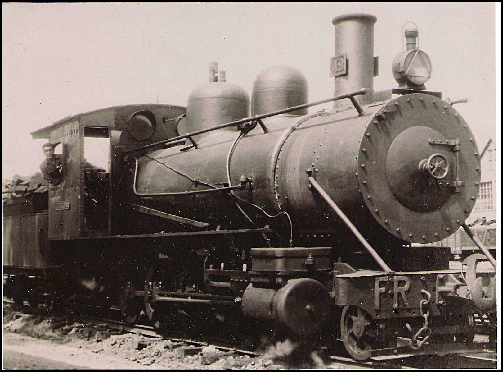
Español: El Ferrocarril de La Robla constituye la línea de vía estrecha más larga de Europa Occidental, con 335 km, comprendida entre La Robla (León) y Bilbao (Vizcaya), en España. Su tramo principal, entre La Robla y Valmaseda, fue inaugurado el 11 de agosto de 1894.2 Su objetivo principal era acercar la importante producción carbonífera de las cuencas mineras leonesa y palentina a su consumo en la poderosa industria siderúrgica de Vizcaya. El proyecto fue promovido y realizado por el ingeniero guipuzcoano Mariano Zuaznavar, financiado por los industriales Enrique Aresti y Victoriano Zabalinchaurreta.
La constructora y operadora fue la Sociedad del Ferrocarril Hullero de La Robla a Valmaseda, que a partir de 1905 pasó a denominarse Ferrocarriles de La Robla. En 1972 la sociedad entró en quiebra y la empresa pública FEVE se hizo cargo de la línea. Bajo su gestión la situación no sólo no mejoró, sino que sus resultados empeoraron extraordinariamente. En 1991 cesó su utilización para el tráfico de pasajeros -restringido sólo al de mercancías- pero, gracias a distintos convenios con la administración pública, en 2003 se reanudaron distintos servicios entre León y Bilbao. Su recorrido atraviesa las provincias de León, Palencia, Cantabria, Burgos y Vizcaya, y debido a su influencia económica y social a lo largo de más de un siglo es considerado uno de los ferrocarriles más emblemáticos de España. |
| Date | |
| Source | Flickr |
| Author | Miguel Ángel García. |
| Camera location | | View this and other nearby images on: OpenStreetMap |
|---|
Licensing
[edit]
This file is licensed under the Creative Commons Attribution 2.0 Generic license.
- You are free:
- to share – to copy, distribute and transmit the work
- to remix – to adapt the work
- Under the following conditions:
- attribution – You must give appropriate credit, provide a link to the license, and indicate if changes were made. You may do so in any reasonable manner, but not in any way that suggests the licensor endorses you or your use.
| This image was originally posted to Flickr by Miguel. (respenda) at https://flickr.com/photos/23012400@N03/11583367786. It was reviewed on 15 November 2021 by FlickreviewR 2 and was confirmed to be licensed under the terms of the cc-by-2.0. |
File history
Click on a date/time to view the file as it appeared at that time.
| Date/Time | Thumbnail | Dimensions | User | Comment | |
|---|---|---|---|---|---|
| current | 13:21, 15 November 2021 | | 1,621 × 1,197 (1.03 MB) | CFA1877 (talk | contribs) | Uploaded a work by Miguel Ángel García. from https://www.flickr.com/photos/respenda/11583367786/ with UploadWizard |
You cannot overwrite this file.
File usage on Commons
There are no pages that use this file.