File:Lipina (Štáblovice), kaplička.jpg
Jump to navigation
Jump to search

Size of this preview: 800 × 600 pixels. Other resolutions: 320 × 240 pixels | 640 × 480 pixels | 1,024 × 768 pixels | 1,280 × 960 pixels | 2,560 × 1,920 pixels | 4,416 × 3,312 pixels.
Original file (4,416 × 3,312 pixels, file size: 4.3 MB, MIME type: image/jpeg)
Captions
Captions
Add a one-line explanation of what this file represents
Summary
[edit],_kapli%C4%8Dka.jpg&action=edit§ion=1)
| Description |
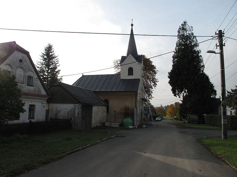
Čeština: Lipina (Štáblovice). Okres Opava, Česká republika. Kaple, vlevo dům čp. 15.
|
||
| Date | |||
| Source |
Own work
|
||
| Author | Juandev | ||
| Permission (Reusing this file) |
This file is licensed under the Creative Commons Attribution-Share Alike 3.0 Unported license.
|
| Camera location | | View this and other nearby images on: OpenStreetMap |
|---|
,_kapli%C4%8Dka.jpg¶ms=049.860152_N_0017.795867_E_globe:Earth_type:camera__&language=en)
File history
Click on a date/time to view the file as it appeared at that time.
| Date/Time | Thumbnail | Dimensions | User | Comment | |
|---|---|---|---|---|---|
| current | 22:47, 19 November 2016 | | 4,416 × 3,312 (4.3 MB) | Juandev (talk | contribs) | VicuñaUploader 1.23 |
You cannot overwrite this file.
File usage on Commons
The following 2 pages use this file:
File usage on other wikis
The following other wikis use this file:
- Usage on cs.wikipedia.org
- Usage on www.wikidata.org
,_kaplička.jpg&oldid=732208781)