File:Krasnojarski-krai-numbered.png
Jump to navigation
Jump to search

Size of this preview: 417 × 600 pixels. Other resolutions: 167 × 240 pixels | 334 × 480 pixels | 534 × 768 pixels | 712 × 1,024 pixels | 1,424 × 2,048 pixels | 2,696 × 3,878 pixels.
Original file (2,696 × 3,878 pixels, file size: 194 KB, MIME type: image/png)
Captions
Captions
Add a one-line explanation of what this file represents
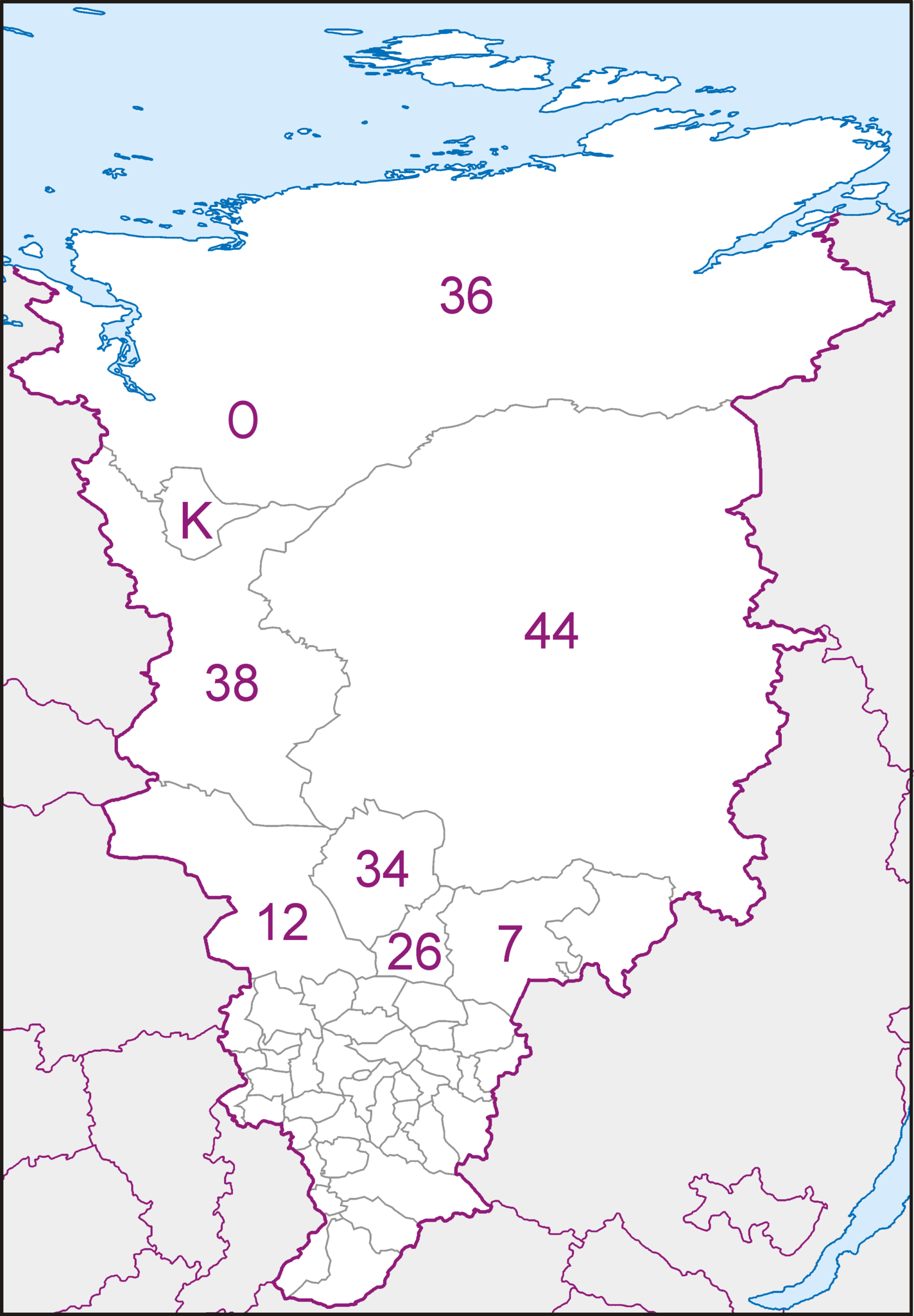
| Description | Map of Krasnoyarsk Krai in Albers Equal-Area Conic projection (Central Meridian = 95° E) |
| Date | (UTC) |
| Source | |
| Author |
Koryakov YuriKrasnojarski-krai.png |
| Other versions |
|

.png)


| This is a retouched picture, which means that it has been digitally altered from its original version. Modifications: numbers of raions added. The original can be viewed here: Krasnojarski-krai.png:
|
I, the copyright holder of this work, hereby publish it under the following licenses:
This file is licensed under the Creative Commons Attribution-Share Alike 3.0 Unported license.
- You are free:
- to share – to copy, distribute and transmit the work
- to remix – to adapt the work
- Under the following conditions:
- attribution – You must give appropriate credit, provide a link to the license, and indicate if changes were made. You may do so in any reasonable manner, but not in any way that suggests the licensor endorses you or your use.
- share alike – If you remix, transform, or build upon the material, you must distribute your contributions under the same or compatible license as the original.

|
Permission is granted to copy, distribute and/or modify this document under the terms of the GNU Free Documentation License, Version 1.2 or any later version published by the Free Software Foundation; with no Invariant Sections, no Front-Cover Texts, and no Back-Cover Texts. A copy of the license is included in the section entitled GNU Free Documentation License. |
You may select the license of your choice.
Original upload log
[edit]
This image is a derivative work of the following images:
- File:Krasnojarski-krai.png licensed with Cc-by-sa-3.0, GFDL
- 2008-03-08T09:29:58Z Koryakov Yuri 2696x3878 (111960 Bytes) Decreasing resolution to avoid "Error creating thumbnail: Invalid thumbnail parameters" message.
- 2008-03-08T09:27:21Z Koryakov Yuri 3595x5171 (159907 Bytes) {{Information |Description=Map of Krasnoyarsk Krai in Albers Equal-Area Conic projection (Central Meridian = 95° E) |Source= self-made |Date=March 2008 |Author=[[:ru:Участник:Koryakov Yuri| Koryakov Yuri]] |other_ver
Uploaded with derivativeFX
File history
Click on a date/time to view the file as it appeared at that time.
| Date/Time | Thumbnail | Dimensions | User | Comment | |
|---|---|---|---|---|---|
| current | 12:38, 23 December 2014 | | 2,696 × 3,878 (194 KB) | Kaganer (talk | contribs) | Added "O" - Norilsk |
| 22:09, 2 April 2010 |  | 2,696 × 3,878 (9.99 MB) | Ratzer (talk | contribs) | {{Information |Description=Map of Krasnoyarsk Krai in Albers Equal-Area Conic projection (Central Meridian = 95° E) |Source=*File:Krasnojarski-krai.png |Date=2010-04-02 22:05 (UTC) |Author=Koryakov YuriFile:Krasnojarski-krai.png *derivative w |
You cannot overwrite this file.
File usage on Commons
The following 7 pages use this file:
.png)
File usage on other wikis
The following other wikis use this file:
- Usage on de.wikipedia.org
- Usage on ru.wikimedia.org