
File:Irshavskyi-Raion.png

Size of this preview: 765 × 600 pixels. Other resolutions: 306 × 240 pixels | 612 × 480 pixels | 980 × 768 pixels | 1,280 × 1,004 pixels | 2,000 × 1,568 pixels.
Original file (2,000 × 1,568 pixels, file size: 194 KB, MIME type: image/png)
Captions
Captions
Add a one-line explanation of what this file represents
Summary
[edit]
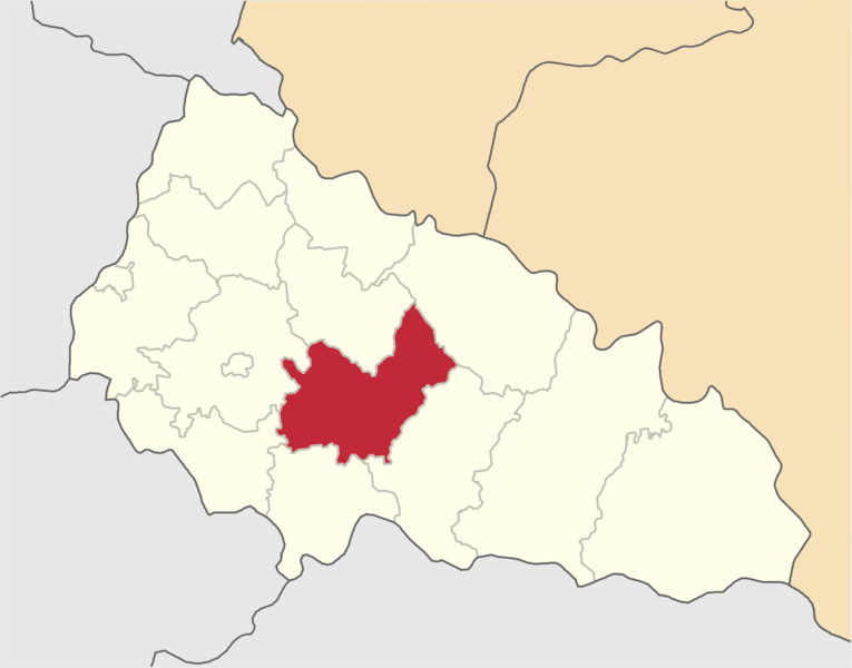
| Description | Irshavskyi-Raion map | ||
| Date | |||
| Source | Olegzima | ||
| Author | |||
| Permission (Reusing this file) |
|
Licensing
[edit]
| I, the copyright holder of this work, release this work into the public domain. This applies worldwide. In some countries this may not be legally possible; if so: I grant anyone the right to use this work for any purpose, without any conditions, unless such conditions are required by law. |
File history
Click on a date/time to view the file as it appeared at that time.
| Date/Time | Thumbnail | Dimensions | User | Comment | |
|---|---|---|---|---|---|
| current | 17:31, 11 June 2015 | | 2,000 × 1,568 (194 KB) | Andrew J.Kurbiko (talk | contribs) | upd |
| 17:17, 14 January 2007 |  | 390 × 314 (52 KB) | Olegzima (talk | contribs) | {{Image |Name= Irshavskyi-Raion |Description= map |Author= Olegzima |Source= Olegzima |Date= Jan 2007 |Licensing= {{PD}} }} Category:Raions_of_Zakarpattia_Oblast |
You cannot overwrite this file.
File usage on Commons
The following 3 pages use this file:
File usage on other wikis
The following other wikis use this file:
- Usage on be-tarask.wikipedia.org
- Usage on cs.wikipedia.org
- Usage on de.wikipedia.org
- Usage on en.wikipedia.org
- Usage on eo.wikipedia.org
- Dovhe (Transkarpata provinco)
- Iljnicja
- Imstiĉovo
- Zahattja
- Zariĉĉja
- Kamjanske
- Loza (Transkarpata provinco)
- Siljce
- Viljĥivka
- Kuŝnicja
- Lisiĉovo
- Osij
- Dibrivka
- Velika Roztoka
- Volovicja
- Deŝkovicja
- Dorobratovo
- Dubi (Ukrainio)
- Klimovicja
- Kobalevicja
- Niĵne Bolotne
- Brid
- Velikij Rakovec
- Lukovo
- Malij Rakovec
- Nehrovo
- Priborĵavske
- Ĥmiljnik
- Zabolotne
- Sobatin
- Suĥa
- Mala Roztoka
- Midjanicja
- Lokitj
- Pidhirne
- Smolohovicja
- Usage on es.wikipedia.org
- Usage on hu.wikipedia.org
- Usage on hy.wikipedia.org
- Usage on ka.wikipedia.org
- Usage on lv.wikipedia.org
- Usage on rue.wikipedia.org
- Usage on ru.wikipedia.org
- Usage on sco.wikipedia.org
- Usage on sk.wikipedia.org
- Usage on uk.wikipedia.org
View more global usage of this file.