File:Infotafel - Hochschule Bremen M-Trakt, Neustadtswall 30 (Lage).jpg
Jump to navigation
Jump to search

Size of this preview: 800 × 511 pixels. Other resolutions: 320 × 204 pixels | 640 × 409 pixels | 1,024 × 654 pixels | 1,240 × 792 pixels.
Original file (1,240 × 792 pixels, file size: 454 KB, MIME type: image/jpeg)
Captions
Captions
Add a one-line explanation of what this file represents
| Description |
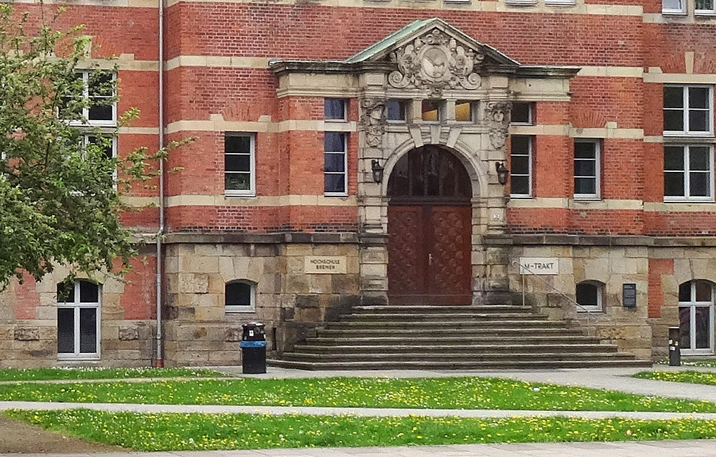
Deutsch: Infotafel: Hochschule Bremen M-Trakt, Neustadtswall 30 |
| Date | |
| Source | Own work |
| Author | Jürgen Howaldt |
| Permission (Reusing this file) |
I, the copyright holder of this work, hereby publish it under the following license: This file is licensed under the Creative Commons Attribution-Share Alike 3.0 Germany license. Attribution: Jürgen Howaldt
 |
| Other versions | File:Infotafel - Hochschule Bremen M-Trakt, Neustadtswall 30.jpg |
| Object location | | View this and other nearby images on: OpenStreetMap |
|---|
.jpg¶ms=053.072553_N_0008.792084_E_globe:Earth_class:object_type:landmark_region:DE-HB_scale:2000_&language=en)
File history
Click on a date/time to view the file as it appeared at that time.
| Date/Time | Thumbnail | Dimensions | User | Comment | |
|---|---|---|---|---|---|
| current | 08:27, 29 April 2014 | | 1,240 × 792 (454 KB) | Godewind (talk | contribs) | {{Information |Description={{de|Infotafel: Hochschule Bremen M-Trakt, Neustadtswall 30}} |Source={{own}} |Date=2014-04 |Author=Jürgen Howaldt |Permission={{self|cc-by-sa-3.0-de|attribution= Jürgen Howaldt}} |other_versions=[... |
You cannot overwrite this file.
File usage on Commons
There are no pages that use this file.
File usage on other wikis
The following other wikis use this file:
- Usage on de.wikipedia.org
.jpg&oldid=543494946)