File:Indonesia provinces map-he.svg
Jump to navigation
Jump to search

Size of this PNG preview of this SVG file: 800 × 374 pixels. Other resolutions: 320 × 150 pixels | 640 × 299 pixels | 1,024 × 479 pixels | 1,280 × 598 pixels | 2,560 × 1,197 pixels | 1,292 × 604 pixels.
Original file (SVG file, nominally 1,292 × 604 pixels, file size: 529 KB)
Captions
Captions
Add a one-line explanation of what this file represents
| Description |
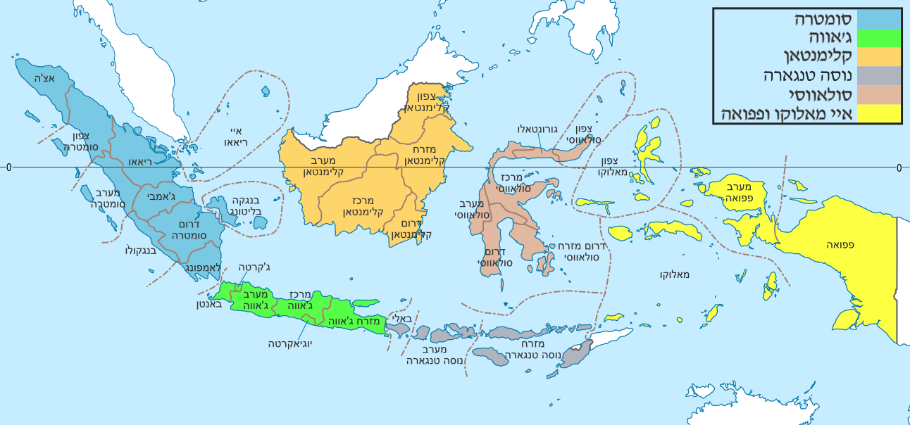
English: Indonesia provinces map (in Malgache) Français : Carte des provinces indonésiennes (en malgache) Deutsch: Karte der indonesischen Provinzen Malagasy : Saritanin'ny faritany indonezianina (amin'ny fiteny malagasy) |
| Date | (UTC) |
| Source | |
| Author |
|
| This is a retouched picture, which means that it has been digitally altered from its original version. Modifications: colors + hebrew. The original can be viewed here: Indonesia provinces location map-en.svg:
|
I, the copyright holder of this work, hereby publish it under the following license:
This file is licensed under the Creative Commons Attribution-Share Alike 3.0 Unported license.
- You are free:
- to share – to copy, distribute and transmit the work
- to remix – to adapt the work
- Under the following conditions:
- attribution – You must give appropriate credit, provide a link to the license, and indicate if changes were made. You may do so in any reasonable manner, but not in any way that suggests the licensor endorses you or your use.
- share alike – If you remix, transform, or build upon the material, you must distribute your contributions under the same or compatible license as the original.
Original upload log
[edit]
This image is a derivative work of the following images:
- File:Indonesia_provinces_location_map-en.svg licensed with Cc-by-sa-3.0
- 2011-01-21T13:48:53Z Yug 1322x620 (325652 Bytes) Font size
- 2011-01-21T13:33:37Z Yug 1322x620 (326578 Bytes) bug fix trial 4
- 2011-01-21T13:30:30Z Yug 1322x620 (326567 Bytes) buf fix trial 3
- 2011-01-21T13:26:46Z Yug 1322x620 (326554 Bytes) bug fix trial 2
- 2011-01-21T13:09:00Z Yug 1322x620 (326545 Bytes) bug fix trial 1
- 2011-01-21T13:04:57Z Yug 1322x620 (327393 Bytes) {{Information |Description={{en|1=Indonesia provinces map (in Malgache)}} {{fr|1= Carte des provinces indonésiennes (en malgache)}} {{mg|1= Saritanin'ny faritany indonezianina (amin'ny fiteny malagasy)}} |Source=*[[:File:Ind
Uploaded with derivativeFX
File history
Click on a date/time to view the file as it appeared at that time.
| Date/Time | Thumbnail | Dimensions | User | Comment | |
|---|---|---|---|---|---|
| current | 19:23, 23 September 2015 | | 1,292 × 604 (529 KB) | קרלוס הגדול (talk | contribs) | . |
| 22:48, 19 September 2011 |  | 1,292 × 604 (509 KB) | Amirki (talk | contribs) | חיתוך | |
| 19:43, 19 September 2011 |  | 1,322 × 620 (514 KB) | Amirki (talk | contribs) | text to path | |
| 19:40, 19 September 2011 |  | 1,322 × 620 (333 KB) | Amirki (talk | contribs) | {{Information |Description={{en|1=Indonesia provinces map (in Malgache)}} {{fr|1= Carte des provinces indonésiennes (en malgache)}} {{de|1= Karte der indonesischen Provinzen}} {{mg|1= Saritanin'ny faritany indonezianina (amin'ny fiteny malagasy)}} |Sourc |
You cannot overwrite this file.
File usage on Commons
There are no pages that use this file.
File usage on other wikis
The following other wikis use this file:
- Usage on he.wikipedia.org