File:Hong Kong Squash Centre 03-03-2023.jpg
Jump to navigation
Jump to search

Size of this preview: 800 × 600 pixels. Other resolutions: 320 × 240 pixels | 640 × 480 pixels | 1,024 × 768 pixels | 1,280 × 960 pixels | 2,560 × 1,920 pixels | 4,032 × 3,024 pixels.
Original file (4,032 × 3,024 pixels, file size: 3.97 MB, MIME type: image/jpeg)
Captions
Captions
Add a one-line explanation of what this file represents
Summary
[edit]
| Description |
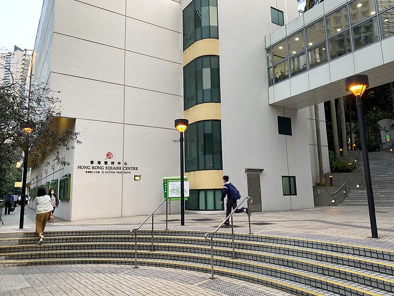
中文:这张照片在花园道一带拍摄。 中文(简体):这张照片在花园道一带拍摄。 中文(中国大陆):这张照片在花园道一带拍摄。 中文(马来西亚):这张照片在花园道一带拍摄。 中文(新加坡):这张照片在花园道一带拍摄。 中文(繁體):這張照片在花園道一帶拍攝。 中文(香港):這張照片在花園道一帶拍攝。 中文(澳門):這張照片在花園道一帶拍攝。 中文(臺灣):這張照片在花園道一帶拍攝。 Čeština: Tato fotografie byla pořízena podél Garden Road. Dansk: Dette billede er taget langs Garden Road. Deutsch: Dieses Foto wurde entlang der Garden Road aufgenommen. English: This photo was taken along Garden Road. Español: Esta foto fue tomada a lo largo de Garden Road. Suomi: Tämä kuva on otettu Garden Roadilla. Français : Cette photo a été prise le long de Garden Road. Magyar: Ez a kép a Garden Road mentén készült. Hrvatski: Ova je fotografija snimljena uz Garden Road. Italiano: Questa foto è stata scattata lungo Garden Road. Nederlands: Deze foto is genomen langs de Tuinweg. Polski: To zdjęcie zostało zrobione wzdłuż Garden Road. Português: Esta foto foi tirada ao longo da Garden Road. Română: Această fotografie a fost făcută de-a lungul Garden Road. Slovenčina: Táto fotografia bola urobená pozdĺž Garden Road. Slovenščina: Ta fotografija je bila posneta ob Garden Roadu. Svenska: Den här bilden är tagen längs Garden Road. 日本語: この写真はガーデンロード沿いで撮影しました。 한국어: 이 사진은 가든로드를 따라 찍은 사진입니다. Български: Тази снимка е направена покрай Garden Road. Македонски: Оваа фотографија е направена покрај Garden Road. Русский: Эта фотография была сделана на Гарден-роуд. Українська: Ця фотографія була зроблена вздовж Garden Road. Bahasa Indonesia: Foto ini diambil di sepanjang Garden Road. ไทย: ภาพนี้ถ่ายบนถนนการ์เด้น Tiếng Việt: Bức ảnh này được chụp dọc theo Garden Road. العربية: تم التقاط هذه الصورة بمحاذاة طريق جاردن رود. فارسی: این عکس در امتداد جاده باغ گرفته شده است. |
| Date | |
| Source | Own work |
| Author | LN9267 |
| Camera location | | View this and other nearby images on: OpenStreetMap |
|---|
Licensing
[edit]
I, the copyright holder of this work, hereby publish it under the following license:
This file is licensed under the Creative Commons Attribution-Share Alike 4.0 International license.
- You are free:
- to share – to copy, distribute and transmit the work
- to remix – to adapt the work
- Under the following conditions:
- attribution – You must give appropriate credit, provide a link to the license, and indicate if changes were made. You may do so in any reasonable manner, but not in any way that suggests the licensor endorses you or your use.
- share alike – If you remix, transform, or build upon the material, you must distribute your contributions under the same or compatible license as the original.
File history
Click on a date/time to view the file as it appeared at that time.
| Date/Time | Thumbnail | Dimensions | User | Comment | |
|---|---|---|---|---|---|
| current | 15:36, 3 March 2023 | | 4,032 × 3,024 (3.97 MB) | LN9267 (talk | contribs) | Uploaded own work with UploadWizard |
You cannot overwrite this file.
File usage on Commons
There are no pages that use this file.