File:Harrisburg Covered Bridge.jpg
Jump to navigation
Jump to search
Size of this preview: 800 × 600 pixels. Other resolutions: 320 × 240 pixels | 640 × 480 pixels | 1,024 × 768 pixels | 1,280 × 960 pixels | 2,048 × 1,536 pixels.
Original file (2,048 × 1,536 pixels, file size: 2.53 MB, MIME type: image/jpeg)
Captions
Captions
Add a one-line explanation of what this file represents
Summary
[edit]
|
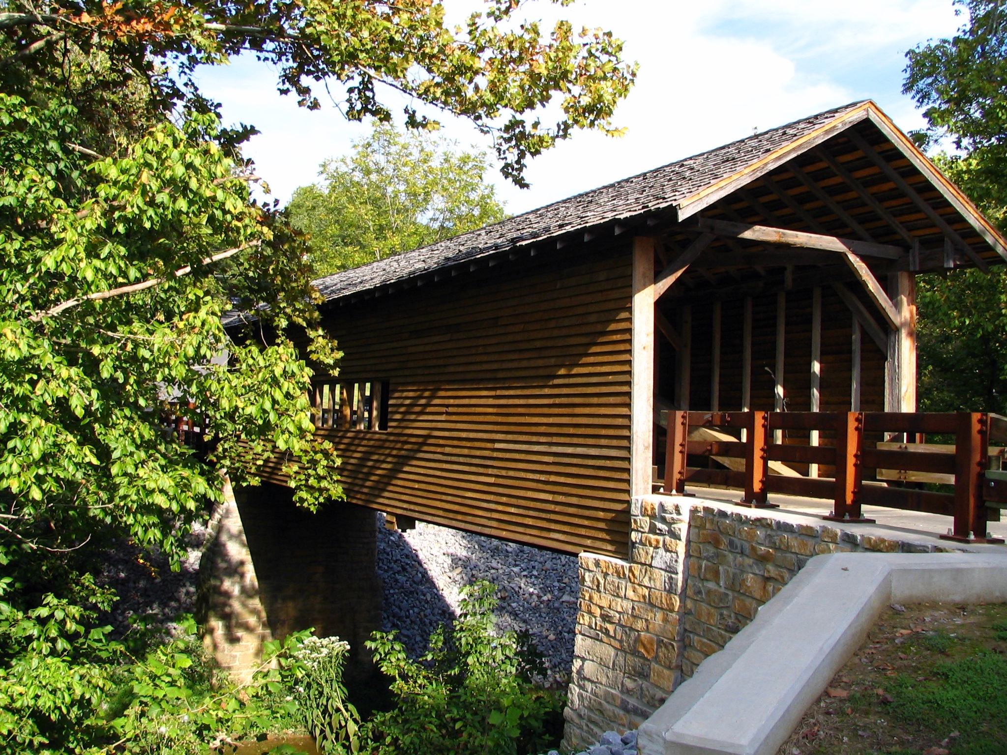
This is an image of a place or building that is listed on the National Register of Historic Places in the United States of America. Its reference number is 75001777. |
| Description | Harrisburg Covered Bridge |
| Date | |
| Source | Harrisburg Covered Bridge, Sevierville, TN |
| Author | Brent Moore from Smyrna, TN |
| Camera location | | View this and other nearby images on: OpenStreetMap |
|---|
Licensing
[edit]
This file is licensed under the Creative Commons Attribution 2.0 Generic license.
- You are free:
- to share – to copy, distribute and transmit the work
- to remix – to adapt the work
- Under the following conditions:
- attribution – You must give appropriate credit, provide a link to the license, and indicate if changes were made. You may do so in any reasonable manner, but not in any way that suggests the licensor endorses you or your use.
| This image, originally posted to Flickr, was reviewed on May 7, 2008 by the administrator or reviewer File Upload Bot (Magnus Manske), who confirmed that it was available on Flickr under the stated license on that date. |
File history
Click on a date/time to view the file as it appeared at that time.
| Date/Time | Thumbnail | Dimensions | User | Comment | |
|---|---|---|---|---|---|
| current | 07:14, 7 May 2008 | | 2,048 × 1,536 (2.53 MB) | File Upload Bot (Magnus Manske) (talk | contribs) | {{Information |Description= This grand example of a covered timber truss bridge is located in north central Sevier County just off of Old State Highway 35 near U.S. 411. The original bridge was destroyed on February 25, 1875 during a great flood in Sevie |
You cannot overwrite this file.
File usage on Commons
There are no pages that use this file.
File usage on other wikis
The following other wikis use this file:
- Usage on de.wikipedia.org
- Usage on en.wikipedia.org
- Usage on en.wikivoyage.org
- Usage on fr.wikipedia.org
- Usage on ik.wikipedia.org
- Usage on my.wikipedia.org
- Usage on pam.wikipedia.org
- Usage on www.wikidata.org
Metadata
Categories:
- Sevierville, Tennessee
- National Register of Historic Places in Sevier County, Tennessee
- Bridges over rivers in Tennessee
- Covered bridges in Tennessee
- Through truss bridges in Tennessee
- Road bridges in Tennessee
- Bridges on the National Register of Historic Places in Tennessee
- 2006 in Tennessee
- 1870s bridges in Tennessee
- Built in Tennessee in 1875
- Bridges in the United States completed in 1875
- September 2006 in the United States
- Bridges in the United States less than 0.1 kilometers
- Queen post trusses