File:Harrah's and The Linq station 2.jpg
Jump to navigation
Jump to search

Size of this preview: 800 × 573 pixels. Other resolutions: 320 × 229 pixels | 640 × 458 pixels | 1,024 × 733 pixels | 1,280 × 916 pixels | 2,848 × 2,039 pixels.
Original file (2,848 × 2,039 pixels, file size: 2.88 MB, MIME type: image/jpeg)
Captions
Captions
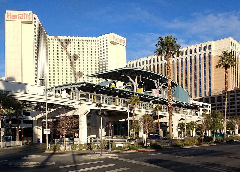
Harrah's and The Linq station on the Las Vegas Monorail
Summary
[edit]
| Description | Harrah's and The Linq station on the Las Vegas Monorail. |
| Date | 30 December 2017 (according to Exif data) |
| Source | Own work |
| Author | Mx. Granger |
| Camera location | | View this and other nearby images on: OpenStreetMap |
|---|
Licensing
[edit]
I, the copyright holder of this work, hereby publish it under the following license:
| This file is made available under the Creative Commons CC0 1.0 Universal Public Domain Dedication. | |
| The person who associated a work with this deed has dedicated the work to the public domain by waiving all of their rights to the work worldwide under copyright law, including all related and neighboring rights, to the extent allowed by law. You can copy, modify, distribute and perform the work, even for commercial purposes, all without asking permission.
|
| This file was uploaded via Mobile Android App (Commons mobile app) 2.6.5. |
File history
Click on a date/time to view the file as it appeared at that time.
| Date/Time | Thumbnail | Dimensions | User | Comment | |
|---|---|---|---|---|---|
| current | 15:27, 31 December 2017 | | 2,848 × 2,039 (2.88 MB) | Mx. Granger (talk | contribs) | Cropped 32 % horizontally and 35 % vertically using CropTool with lossless mode. |
| 15:24, 31 December 2017 |  | 4,160 × 3,120 (4.72 MB) | Mx. Granger (talk | contribs) | Uploaded using Android Commons app |
You cannot overwrite this file.
File usage on Commons
The following page uses this file:
File usage on other wikis
The following other wikis use this file:
- Usage on en.wikipedia.org
- Usage on es.wikipedia.org
- Usage on ja.wikipedia.org
- Usage on www.wikidata.org
- Usage on zh.wikipedia.org