File:Harima province rough map.PNG
Jump to navigation
Jump to search
No higher resolution available.
Harima_province_rough_map.PNG (800 × 600 pixels, file size: 21 KB, MIME type: image/png)
Captions
Captions
Add a one-line explanation of what this file represents
Summary
[edit]
Licensing
[edit]
| I, the copyright holder of this work, release this work into the public domain. This applies worldwide. In some countries this may not be legally possible; if so: I grant anyone the right to use this work for any purpose, without any conditions, unless such conditions are required by law. |
File history
Click on a date/time to view the file as it appeared at that time.
| Date/Time | Thumbnail | Dimensions | User | Comment | |
|---|---|---|---|---|---|
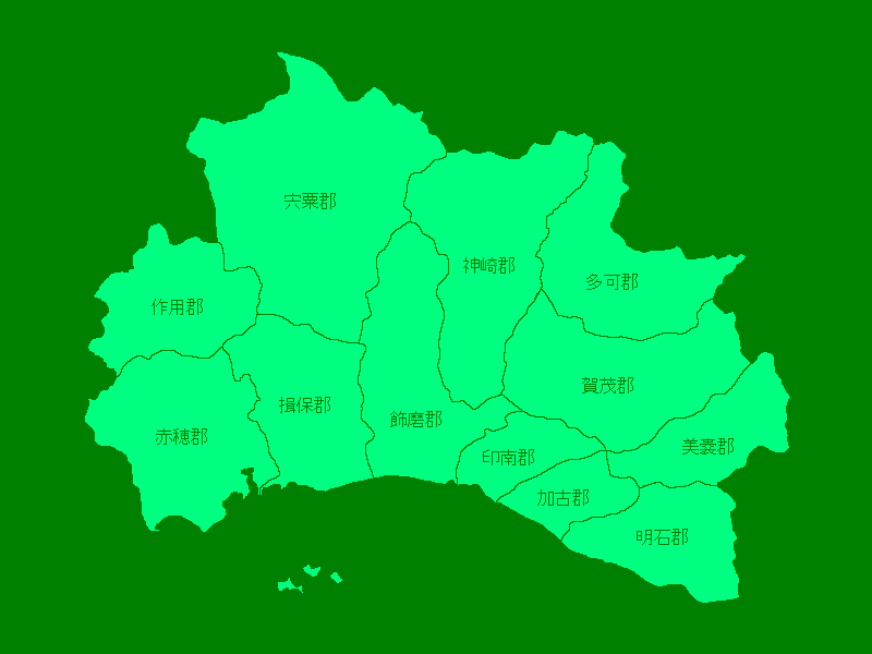
| current | 05:08, 15 March 2009 | | 800 × 600 (21 KB) | 弥 (talk | contribs) | {{Information |Description={{ja|1=ja:播磨国の各郡のおおまかな地図。}} |Source=own work |Author=~~~ |Date=2009.3.15 |Permission= |other_versions= }} <!--{{ImageUpload|full}}--> |
You cannot overwrite this file.
File usage on Commons
There are no pages that use this file.
File usage on other wikis
The following other wikis use this file:
- Usage on ja.wikipedia.org
- Usage on ko.wikipedia.org