File:HUA-107344-Plattegrond van een gedeelte van het park van het huis Gunterstein bij Breukelen.jpg
Jump to navigation
Jump to search

Size of this preview: 800 × 517 pixels. Other resolutions: 320 × 207 pixels | 640 × 413 pixels | 1,024 × 661 pixels | 1,280 × 827 pixels | 2,560 × 1,653 pixels | 3,933 × 2,540 pixels.
Original file (3,933 × 2,540 pixels, file size: 2.19 MB, MIME type: image/jpeg)
Captions
Captions
Add a one-line explanation of what this file represents
Summary
[edit]| Description |
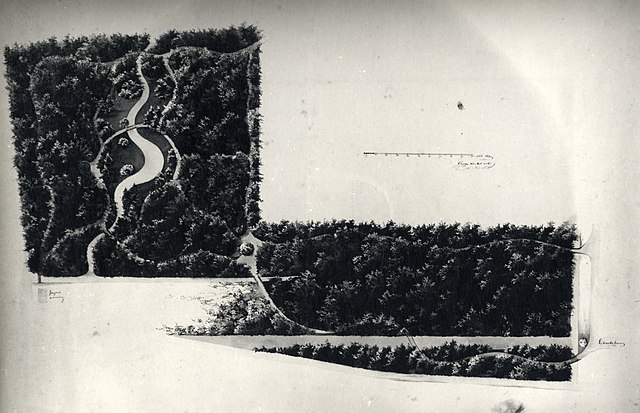
Nederlands: Plattegrond van een gedeelte van het park van het huis Gunterstein bij Breukelen. |
|||||||||||||||||
| Date | between 26 March 1865 and 26 March 1865 | |||||||||||||||||
| Source | https://hetutrechtsarchief.nl/beeld/94BCB390860151759B1D5323C360D42F | |||||||||||||||||
| Creator |
Copijn, tekenaar |
|||||||||||||||||
| Georeferencing | If inappropriate please set warp_status = skip to hide. | |||||||||||||||||
| Archival data | ||||||||||||||||||
| Collection |
|
|||||||||||||||||
| Accession number |
GUID: 94BCB390860151759B1D5323C360D42F, HUA Catalogusnummer: 107344 |
|||||||||||||||||
| Dimensions | height: 14 cm (5.5 in); width: 22 cm (8.6 in) | |||||||||||||||||
| Notes |
Nederlands: Fotoreproductie van een gekleurde tekening van ? Copijn uit 1865 met een ontwerp voor een gedeelte van het park. Verblijfplaats onbekend (kasteel Gunterstein?). |
|||||||||||||||||

Licensing
[edit]
|
This work is in the public domain in its country of origin and other countries and areas where the copyright term is the author's life plus 70 years or fewer. | |
| This file has been identified as being free of known restrictions under copyright law, including all related and neighboring rights. | |
This media file is from the collections of the Het Utrechts Archief. This tag does not indicate the copyright status of the attached work. A normal copyright tag is still required. See Commons:Licensing.
|
File history
Click on a date/time to view the file as it appeared at that time.
| Date/Time | Thumbnail | Dimensions | User | Comment | |
|---|---|---|---|---|---|
| current | 17:11, 15 February 2021 | | 3,933 × 2,540 (2.19 MB) | CompanjeBot (talk | contribs) | Uploading image from Het Utrechts Archief: https://hetutrechtsarchief.nl/beeld/94BCB390860151759B1D5323C360D42F |
You cannot overwrite this file.
File usage on Commons
There are no pages that use this file.