File:Großer Illing.jpg
Jump to navigation
Jump to search

Size of this preview: 800 × 273 pixels. Other resolutions: 320 × 109 pixels | 640 × 218 pixels | 1,024 × 350 pixels | 1,280 × 437 pixels | 2,560 × 874 pixels | 10,716 × 3,658 pixels.
Original file (10,716 × 3,658 pixels, file size: 5.56 MB, MIME type: image/jpeg)
Captions
Captions
Großer Illing
Summary
[edit]
| Description |
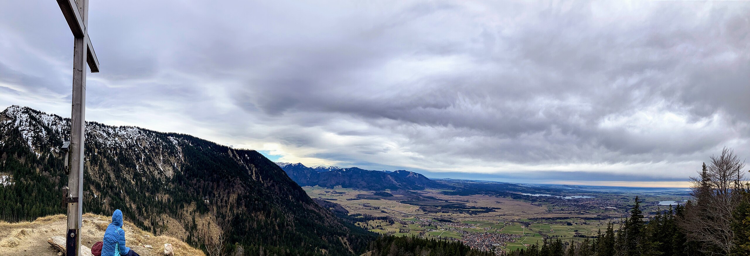
English: Summit of mountain Großer Illing. A view to Ohlstadt, bog Murnauer Moos, Laber in Ammergau Alps, lake Staffelsee and Murnau. |
| Date | |
| Source | Own work |
| Author | Wasquewhat |
| Camera location | | View this and other nearby images on: OpenStreetMap |
|---|
Licensing
[edit]
I, the copyright holder of this work, hereby publish it under the following license:
This file is licensed under the Creative Commons Attribution 4.0 International license.
- You are free:
- to share – to copy, distribute and transmit the work
- to remix – to adapt the work
- Under the following conditions:
- attribution – You must give appropriate credit, provide a link to the license, and indicate if changes were made. You may do so in any reasonable manner, but not in any way that suggests the licensor endorses you or your use.
| Annotations | This image is annotated: View the annotations at Commons |
File history
Click on a date/time to view the file as it appeared at that time.
| Date/Time | Thumbnail | Dimensions | User | Comment | |
|---|---|---|---|---|---|
| current | 07:48, 11 February 2024 | 10,716 × 3,658 (5.56 MB) | Wasquewhat (talk | contribs) | Uploaded own work with UploadWizard |
You cannot overwrite this file.
File usage on Commons
There are no pages that use this file.
File usage on other wikis
The following other wikis use this file:
- Usage on de.wikipedia.org