File:Filipów (gmina) location map.png
Jump to navigation
Jump to search
Size of this preview: 800 × 554 pixels. Other resolutions: 320 × 221 pixels | 640 × 443 pixels | 1,024 × 709 pixels | 1,237 × 856 pixels.
Original file (1,237 × 856 pixels, file size: 178 KB, MIME type: image/png)
Captions
Captions
Add a one-line explanation of what this file represents
| Description |
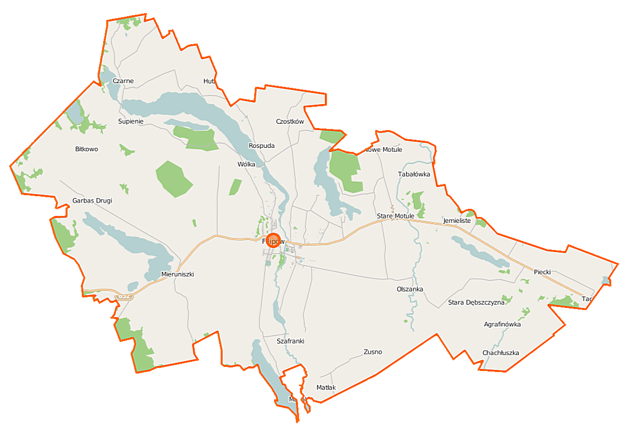
Polski: Mapa gminy Filipów, Polska
English: Map of Gmina Filipów, Poland |
|||||||||
| Date | ||||||||||
| Source | You may find a page on the OpenStreetMap wiki page for Filipów (gmina) | |||||||||
| Creator |
OpenStreetMap contributors OpenStreetMap contributors |
|||||||||
| Permission (Reusing this file) |
OpenStreetMap data is available under the Open Database License (details). Map tiles are licensed under the Creative Commons Attribution-ShareAlike 2.0 license (CC-BY-SA 2.0).
This file is licensed under the Creative Commons Attribution-Share Alike 2.0 Generic license.
|
|||||||||
| Geotemporal data | ||||||||||
| Bounding box |
|
|||||||||
| Georeferencing | If inappropriate please set warp_status = skip to hide. | |||||||||
File history
Click on a date/time to view the file as it appeared at that time.
| Date/Time | Thumbnail | Dimensions | User | Comment | |
|---|---|---|---|---|---|
| current | 10:18, 16 September 2014 | | 1,237 × 856 (178 KB) | VanWiel (talk | contribs) | |
| 09:43, 6 June 2014 |  | 1,237 × 856 (226 KB) | VanWiel (talk | contribs) | {{OpenStreetMap | name = Filipów (gmina) | location = Filipów (gmina) | description = {{pl|Mapa gminy Filipów, Polska}} {{en|Map of Gmina Filipów, Poland}} | top = 54.2560 | left = 22.4753 | r... |
You cannot overwrite this file.
File usage on Commons
There are no pages that use this file.
File usage on other wikis
The following other wikis use this file:
- Usage on be.wikipedia.org
- Usage on pl.wikipedia.org
- Filipów (gmina)
- Jezioro Kamienne (Pojezierze Zachodniosuwalskie)
- Jezioro Długie (gmina Filipów)
- Garbas (jezioro w powiecie suwalskim)
- Agrafinówka
- Filipów
- Garbas Pierwszy
- Mieruniszki
- Nowa Dębszczyzna
- Nowe Motule
- Rospuda (województwo podlaskie)
- Smolenka
- Supienie
- Stara Dębszczyzna
- Stare Motule
- Tabałówka
- Zusno
- Czarne (województwo podlaskie)
- Czostków (województwo podlaskie)
- Jemieliste (województwo podlaskie)
- Piecki (województwo podlaskie)
- Huta (gmina Filipów)
- Szafranki (powiat suwalski)
- Olszanka (gmina Filipów)
- Wólka (gmina Filipów)
- Rospuda Filipowska
- Bitkowo (powiat suwalski)
- Bartnia Góra (wieś)
- Jezioro Mieruńskie Wielkie
- Czostków (jezioro)
- Jezioro Gatne
- Parafia Wniebowzięcia Najświętszej Maryi Panny w Filipowie
- Garbas Drugi
- Cmentarz żydowski w Mieruniszkach
- Filipów Drugi
- Filipów Trzeci
- Filipów Czwarty
- Kościół Wniebowzięcia Najświętszej Maryi Panny w Filipowie
- Cmentarz mariawicki w Filipowie
- Jezioro Białe Filipowskie
- Moduł:Mapa/dane/Filipów (gmina)
- Chachłuszka
- Milanowizna
- Usage on pl.wikibooks.org
_location_map.png&oldid=519963455)