File:Farm road, Longaller - geograph.org.uk - 1000806.jpg
Jump to navigation
Jump to search
No higher resolution available.
Farm_road,_Longaller_-_geograph.org.uk_-_1000806.jpg (640 × 480 pixels, file size: 107 KB, MIME type: image/jpeg)
Captions
Captions
Add a one-line explanation of what this file represents
Summary
[edit]| Description |
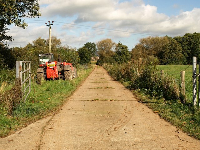
English: Farm road, Longaller. The field access road mentioned in 1000778, seen from its junction with Frethey Road. The line of trees indicates the course of the River Tone, crossed by the road. That's a plane in the sky above the Manitou's right wheel. |
||
| Date | |||
| Source | From geograph.org.uk | ||
| Author | Derek Harper | ||
| Permission (Reusing this file) |
This file is licensed under the Creative Commons Attribution-Share Alike 2.0 Generic license. Attribution: Derek Harper
|
||
| Attribution (required by the license) | Derek Harper / Farm road, Longaller / | ||

| Camera location | | View this and other nearby images on: OpenStreetMap |
|---|
| Object location | | View this and other nearby images on: OpenStreetMap |
|---|

_heading:22.00&language=en)
_heading:22.00&language=en)
File history
Click on a date/time to view the file as it appeared at that time.
| Date/Time | Thumbnail | Dimensions | User | Comment | |
|---|---|---|---|---|---|
| current | 07:12, 23 February 2011 | | 640 × 480 (107 KB) | GeographBot (talk | contribs) | == {{int:filedesc}} == {{Information |description={{en|1=Farm road, Longaller The field access road mentioned in 1000778, seen from its junction with Frethey Road. The line of trees indicates the course of the River Tone, crossed by the road. That's a |
You cannot overwrite this file.
File usage on Commons
There are no pages that use this file.