File:Exit 44, Shinarump Rd, Oatman Hwy, Interstate 40 (2640164984).jpg

Original file (1,600 × 1,200 pixels, file size: 718 KB, MIME type: image/jpeg)
Captions
Captions
Summary
[edit].jpg&action=edit§ion=1)
| Description |
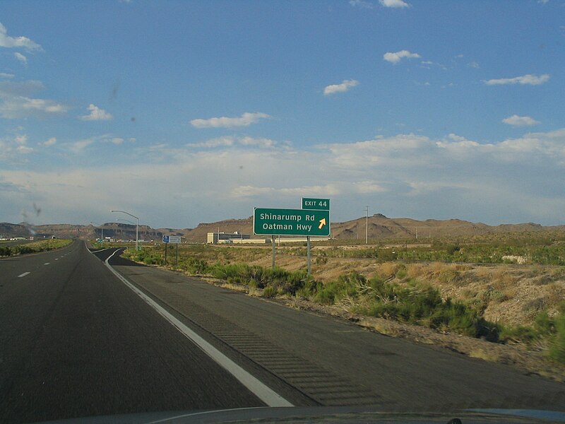
Interstate 40 (I-40) is the third-longest major east–west Interstate Highway in the United States, after I-90 and I-80. Its western end is at Interstate 15 in Barstow, California; its eastern end is at a concurrency of U.S. Route 117 and North Carolina Highway 132 in Wilmington, North Carolina. Much of the western part of I-40, from Oklahoma City to Barstow, parallels or overlays the historic U.S. Route 66. I-40 intersects with eight of the 10 primary north–south interstates (all except I-5 and I-45) and also with I-24, I-30, I-44, I-77, and I-81. I-40 enters Arizona from California at a crossing of the Colorado River at Topock in Mohave County. It heads east from Topock and begins to curve towards the north at Franconia and completes the curve to the north at Yucca. The Interstate continues to head north until it reaches Kingman. In Kingman, I-40 has a junction with US 93 at exit 48. US 93 heads towards the northwest from this junction to Hoover Dam and Las Vegas. For the majority of its routing through Arizona, I-40 follows the historic alignment of U.S. Route 66. The lone exception is a stretch between Kingman and Ash Fork where US 66 took a more northerly, less direct route that is now State Route 66. Construction of I-40 was ongoing in the 1960s and 1970s and reached completion in 1984. With the completion of I-40 in 1984, the entire routing of US 66 had been bypassed by Interstate Highways which led to its decertification a year later in 1985. en.wikipedia.org/wiki/Interstate_40 en.wikipedia.org/wiki/Interstate_40_in_Arizona en.wikipedia.org/wiki/Wikipedia:Text_of_Creative_Commons_... |
| Date | |
| Source | Exit 44, Shinarump Rd, Oatman Hwy, Interstate 40 |
| Author | Ken Lund from Reno, Nevada, USA |
| Camera location | | View this and other nearby images on: OpenStreetMap |
|---|
.jpg¶ms=035.132877_N_-114.104690_E_globe:Earth_type:camera_source:Flickr_&language=en)
Licensing
[edit].jpg&action=edit§ion=2)
- You are free:
- to share – to copy, distribute and transmit the work
- to remix – to adapt the work
- Under the following conditions:
- attribution – You must give appropriate credit, provide a link to the license, and indicate if changes were made. You may do so in any reasonable manner, but not in any way that suggests the licensor endorses you or your use.
- share alike – If you remix, transform, or build upon the material, you must distribute your contributions under the same or compatible license as the original.
| This image was originally posted to Flickr by Ken Lund at https://flickr.com/photos/75683070@N00/2640164984 (archive). It was reviewed on 23 June 2018 by FlickreviewR 2 and was confirmed to be licensed under the terms of the cc-by-sa-2.0. |
File history
Click on a date/time to view the file as it appeared at that time.
| Date/Time | Thumbnail | Dimensions | User | Comment | |
|---|---|---|---|---|---|
| current | 22:35, 23 June 2018 | | 1,600 × 1,200 (718 KB) | Hiàn (alt) (talk | contribs) | Transferred from Flickr via #flickr2commons |
You cannot overwrite this file.
File usage on Commons
There are no pages that use this file.
Metadata
.jpg&oldid=929125668)
- Interstate 40 in Mohave County, Arizona
- June 2008 in road transport in the United States
- Exit ramp signs in Arizona
- Exits numbered 44
- June 2008 in Arizona
- Road signs in Mohave County, Arizona
- Road signs in the United States photographed in 2008
- Views from automobiles in Mohave County, Arizona
- Views from Interstate 40