File:Elvese.jpg
Jump to navigation
Jump to search
Size of this preview: 800 × 404 pixels. Other resolutions: 320 × 162 pixels | 640 × 323 pixels | 1,024 × 517 pixels | 1,280 × 646 pixels | 4,000 × 2,019 pixels.
Original file (4,000 × 2,019 pixels, file size: 3.63 MB, MIME type: image/jpeg)
Captions
Captions
Add a one-line explanation of what this file represents
Summary
[edit]
| Description |
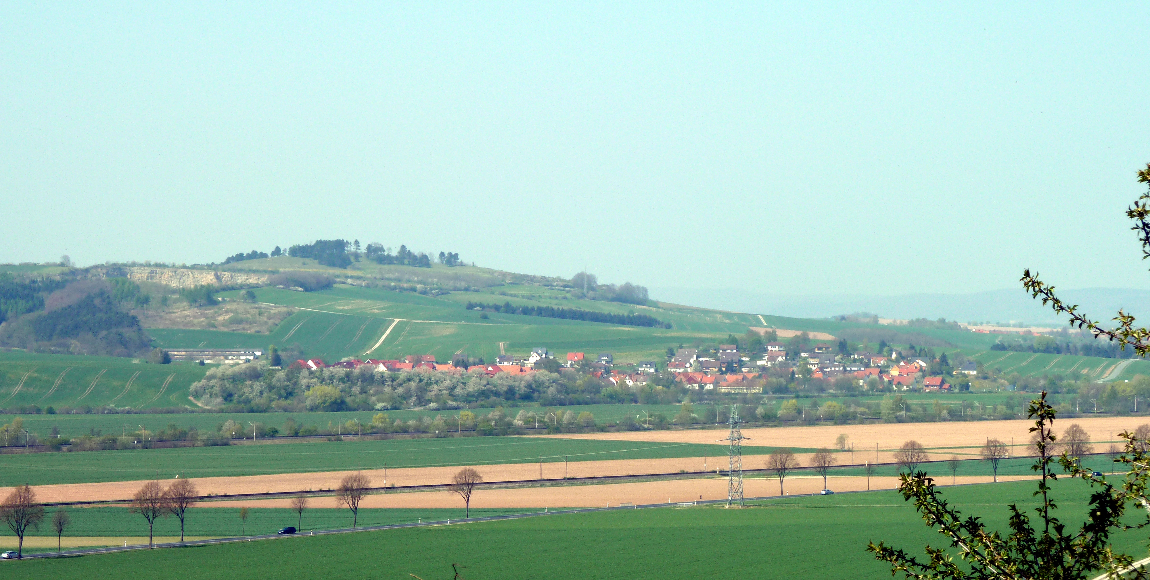
Deutsch: Blick von Südsüdosten über das Leinetal auf Elvese, Flecken Nörten-Hardenberg, Landkreis Northeim, Südniedersachsen. Links hinter dem Ort der Wahrberg (z.T. Naturschutzgebiet). |
| Date | |
| Source | Own work |
| Author | Jan Stubenitzky (Dehio) |
| Camera location | | View this and other nearby images on: OpenStreetMap |
|---|
Licensing
[edit]
I, the copyright holder of this work, hereby publish it under the following license:
This file is licensed under the Creative Commons Attribution-Share Alike 3.0 Unported license.
- You are free:
- to share – to copy, distribute and transmit the work
- to remix – to adapt the work
- Under the following conditions:
- attribution – You must give appropriate credit, provide a link to the license, and indicate if changes were made. You may do so in any reasonable manner, but not in any way that suggests the licensor endorses you or your use.
- share alike – If you remix, transform, or build upon the material, you must distribute your contributions under the same or compatible license as the original.
| Annotations | This image is annotated: View the annotations at Commons |
File history
Click on a date/time to view the file as it appeared at that time.
| Date/Time | Thumbnail | Dimensions | User | Comment | |
|---|---|---|---|---|---|
| current | 18:15, 31 August 2010 | | 4,000 × 2,019 (3.63 MB) | Dehio (talk | contribs) | {{Information |Description={{de|1=Blick von Südsüdosten über das Leinetal auf Elvese, Flecken Nörten-Hardenberg, Landkreis Northeim, Südniedersachsen. Links hinter dem Ort der Wahrberg (Naturschutzgebiet).}} |Source={{own}} |Author=Jan Stubenitzky ([ |
You cannot overwrite this file.
File usage on Commons
The following page uses this file:
File usage on other wikis
The following other wikis use this file:
- Usage on ceb.wikipedia.org
- Usage on de.wikipedia.org
- Usage on www.wikidata.org