File:Darłowo location map.svg
Jump to navigation
Jump to search

Size of this PNG preview of this SVG file: 800 × 579 pixels. Other resolutions: 320 × 232 pixels | 640 × 463 pixels | 1,024 × 741 pixels | 1,280 × 926 pixels | 2,560 × 1,852 pixels | 1,270 × 919 pixels.
Original file (SVG file, nominally 1,270 × 919 pixels, file size: 1.71 MB)
Captions
Captions
Add a one-line explanation of what this file represents
| Description |
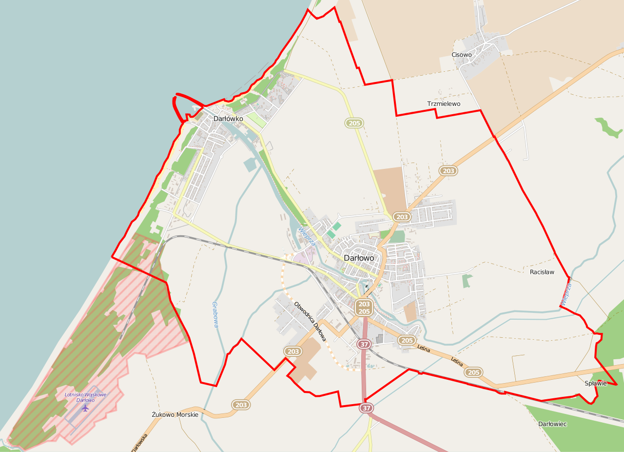
Polski: Mapa Darłowa, Polska
English: Map of Darłowo, Poland |
|||||||||
| Date | ||||||||||
| Source | You may find a page on the OpenStreetMap wiki page for Darłowo | |||||||||
| Creator |
OpenStreetMap contributors OpenStreetMap contributors |
|||||||||
| Permission (Reusing this file) |
OpenStreetMap data is available under the Open Database License (details). Map tiles are licensed under the Creative Commons Attribution-ShareAlike 2.0 license (CC-BY-SA 2.0).
This file is licensed under the Creative Commons Attribution-Share Alike 2.0 Generic license.
|
|||||||||
| Geotemporal data | ||||||||||
| Bounding box |
|
|||||||||
| Georeferencing | If inappropriate please set warp_status = skip to hide. | |||||||||
File history
Click on a date/time to view the file as it appeared at that time.
| Date/Time | Thumbnail | Dimensions | User | Comment | |
|---|---|---|---|---|---|
| current | 05:41, 26 March 2015 | | 1,270 × 919 (1.71 MB) | ArkadiuszZ (talk | contribs) | {{OpenStreetMap | name = Darłowo | location = Darłowo | description = {{pl|Mapa Darłowa, Polska}} {{en|Map of Darłowo, Poland}} | top = 54.4541 | left = 16.3360 | right = 16.4647 | bo... |
You cannot overwrite this file.
File usage on Commons
There are no pages that use this file.
File usage on other wikis
The following other wikis use this file:
- Usage on dsb.wikipedia.org
- Usage on pl.wikipedia.org
- Zamek Książąt Pomorskich w Darłowie
- Darłówko
- Latarnia Morska Darłowo
- Morskie przejście graniczne Darłowo
- Zespół Szkół Morskich w Darłowie
- Darłowo (przystanek kolejowy)
- Ratusz w Darłowie
- Kościół Matki Bożej Częstochowskiej w Darłowie
- Port morski Darłowo
- Racisław (Darłowo)
- Parafia św. Maksymiliana Marii Kolbego w Darłówku
- Parafia Matki Bożej Częstochowskiej w Darłowie
- Parafia św. Gertrudy w Darłowie
- Parafia wojskowa św. Melchiora Grodzieckiego w Darłowie
- Kościół św. Gertrudy w Darłowie
- Jankówek (wzniesienie)
- Moduł:Mapa/dane/Darłowo
- Kościół św. Jerzego w Darłowie
- Brama Wysoka w Darłowie
- Kamienica Hemptenmacherów w Darłowie
- Zamek Książąt Pomorskich – Muzeum w Darłowie
- Usage on pl.wikibooks.org
- Usage on pt.wikipedia.org