File:Cuenca del río Manzanares Monte del Pardo 31.jpg
Original file (2,560 × 1,920 pixels, file size: 1.88 MB, MIME type: image/jpeg)
Captions
Summary
[edit]DescriptionCuenca del río Manzanares Monte del Pardo 31.jpg |
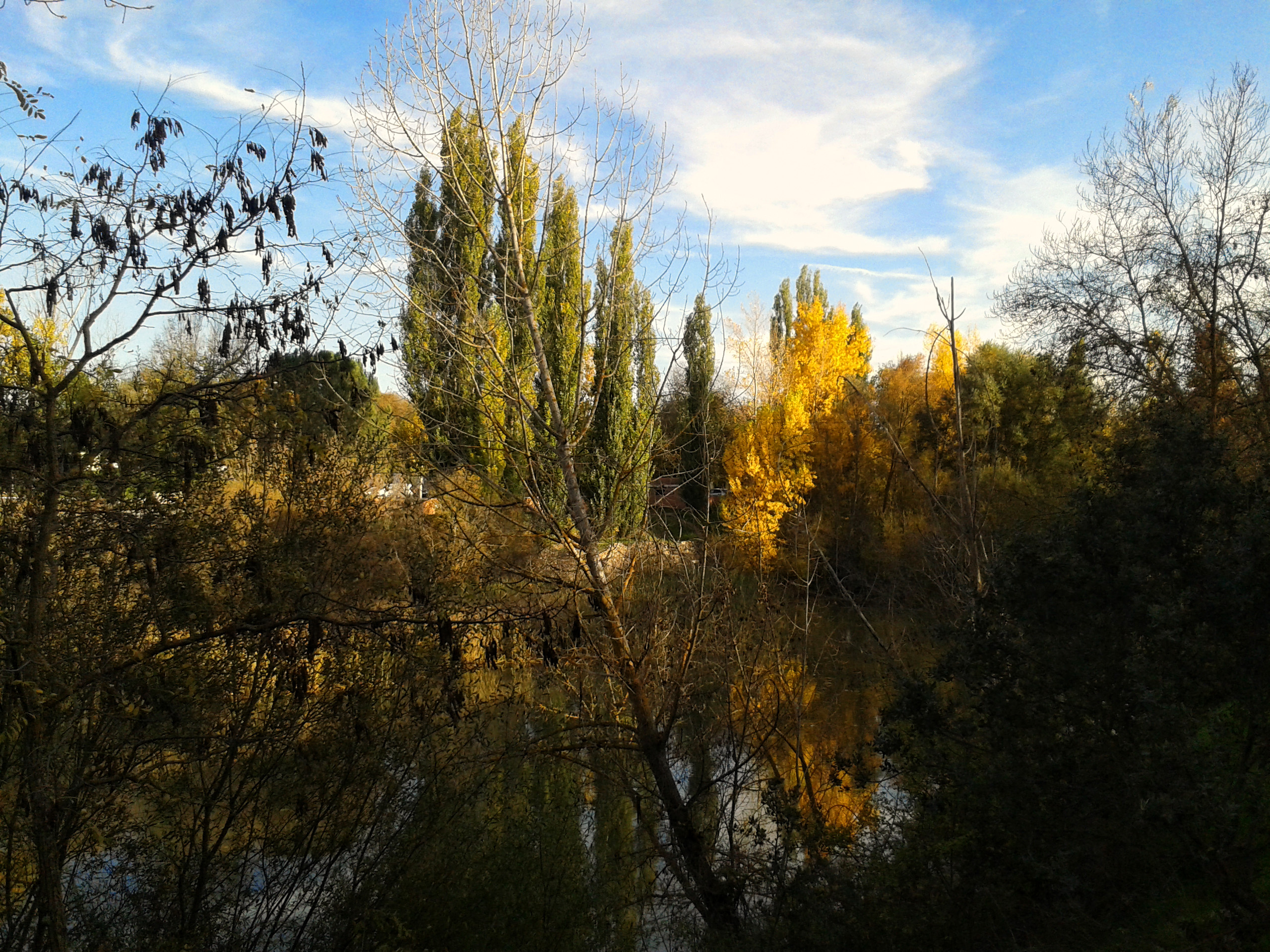
Español: Otoño en la Cuenca del río Manzanares- Monte del Pardo
|
||
Date | |||
Source | Own work | ||
Author | Ángel Antonio Caminero Gómez |
Camera location | 40° 31′ 39.39″ N, 3° 46′ 55.93″ W | View this and other nearby images on: OpenStreetMap | 40.527608; -3.782203 |
---|
Licensing
[edit]- You are free:
- to share – to copy, distribute and transmit the work
- to remix – to adapt the work
- Under the following conditions:
- attribution – You must give appropriate credit, provide a link to the license, and indicate if changes were made. You may do so in any reasonable manner, but not in any way that suggests the licensor endorses you or your use.
- share alike – If you remix, transform, or build upon the material, you must distribute your contributions under the same or compatible license as the original.
This image was uploaded as part of Wiki Loves Earth 2015.
aragonés | العربية | asturianu | azərbaycanca | беларуская (тарашкевіца) | български | বাংলা | brezhoneg | català | čeština | Cymraeg | Deutsch | Ελληνικά | English | español | eesti | euskara | فارسی | français | galego | עברית | hrvatski | հայերեն | Bahasa Indonesia | italiano | 日本語 | ქართული | 한국어 | latviešu | македонски | മലയാളം | मराठी | Bahasa Melayu | norsk bokmål | नेपाली | Nederlands | norsk | polski | português | português do Brasil | русский | sicilianu | shqip | slovenščina | српски / srpski | svenska | ไทย | Türkçe | українська | اردو | 中文 | 中文(台灣) | +/− |
File history
Click on a date/time to view the file as it appeared at that time.
Date/Time | Thumbnail | Dimensions | User | Comment | |
---|---|---|---|---|---|
current | 11:18, 22 May 2015 | 2,560 × 1,920 (1.88 MB) | ACaminero (talk | contribs) | User created page with UploadWizard |
You cannot overwrite this file.
File usage on Commons
The following page uses this file:
Metadata
This file contains additional information such as Exif metadata which may have been added by the digital camera, scanner, or software program used to create or digitize it. If the file has been modified from its original state, some details such as the timestamp may not fully reflect those of the original file. The timestamp is only as accurate as the clock in the camera, and it may be completely wrong.
Camera manufacturer | SAMSUNG |
---|---|
Camera model | GT-I8190 |
Exposure time | 2,433/1,000,000 sec (0.002433) |
F-number | f/2.6 |
ISO speed rating | 50 |
Date and time of data generation | 16:18, 20 November 2014 |
Lens focal length | 3.54 mm |
User comments | User comments |
Latitude | 40° 31′ 39.39″ N |
Longitude | 3° 46′ 55.93″ W |
Altitude | 0 meters above sea level |
Width | 2,560 px |
Height | 1,920 px |
Bits per component |
|
Pixel composition | RGB |
Orientation | Normal |
Number of components | 3 |
Horizontal resolution | 72 dpi |
Vertical resolution | 72 dpi |
Software used | Adobe Photoshop CS6 (Windows) |
File change date and time | 15:07, 21 November 2014 |
Y and C positioning | Co-sited |
Exposure Program | Aperture priority |
Exif version | 2.2 |
Date and time of digitizing | 16:18, 20 November 2014 |
Meaning of each component |
|
APEX shutter speed | 8.643856 |
APEX aperture | 2.757023 |
APEX exposure bias | 0 |
Maximum land aperture | 2.76 APEX (f/2.6) |
Metering mode | Average |
Flash | Flash did not fire |
Supported Flashpix version | 1 |
Color space | sRGB |
Exposure mode | Auto exposure |
White balance | Auto white balance |
Scene capture type | Standard |
GPS time (atomic clock) | 15:18 |
Receiver status | Measurement interoperability |
Geodetic survey data used | WGS 84 |
GPS date | 20 November 2014 |
GPS tag version | 0.0.2.2 |
Date metadata was last modified | 16:07, 21 November 2014 |
Unique ID of original document | BAFDF1E28F0BFBE405BFFC79D416E713 |
IIM version | 4 |
Structured data
Items portrayed in this file
depicts
some value
20 November 2014
40°31'39.389"N, 3°46'55.931"W
image/jpeg
212d6e10aa6561faf50d14b9eada45b1ccbe3653
1,972,550 byte
1,920 pixel
2,560 pixel
- Special Areas of Conservation in Spain with known IDs
- Files with coordinates missing SDC location of creation
- CC-BY-SA-3.0-ES
- Self-published work
- Images from Wiki Loves Earth 2015
- Images from Wiki Loves Earth 2015 in Spain
- Images from Wiki Loves Earth missing SDC depicts
- Images from Wiki Loves Earth missing SDC location of creation
- Uploaded via Campaign:wle-es in 2015
- Uploaded via Campaign:wle-es
- Images from Wiki Loves Earth 2015 in Spain (22 May)
- Evaluation of images from Wiki Loves Earth 2015 in Spain and Portugal - Round 1
- Images from Wiki Loves Earth 2015 in Spain by ACaminero
- Images of a site of community importance with code ES3110004 from Wiki Loves Earth 2015 in Spain
- All media supported by Wikimedia España in 2015
- Images of a site of community importance with code ES3110004 from Wiki Loves Earth in Spain
- Images of a site of community importance in the Community of Madrid from Wiki Loves Earth 2015 in Spain
- Spain photographs taken on 2014-11-20