File:Chesapeake Avenue, Hampton - panoramio (10).jpg
Jump to navigation
Jump to search

Size of this preview: 800 × 533 pixels. Other resolutions: 320 × 213 pixels | 640 × 427 pixels | 1,024 × 683 pixels | 1,280 × 853 pixels | 2,560 × 1,707 pixels | 4,272 × 2,848 pixels.
Original file (4,272 × 2,848 pixels, file size: 5.54 MB, MIME type: image/jpeg)
Captions
Captions
Add a one-line explanation of what this file represents
Summary
[edit].jpg&action=edit§ion=1)
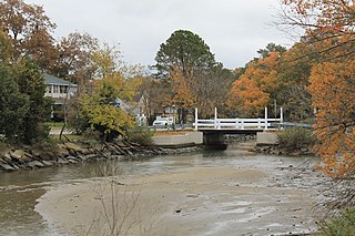
| Description | Chesapeake Avenue, Hampton | ||
| Date | Taken on 13 November 2012 | ||
| Source | https://web.archive.org/web/20161024215952/http://www.panoramio.com/photo/85421138 | ||
| Author | Patrick Nouhailler's… | ||
| Permission (Reusing this file) |
This file is licensed under the Creative Commons Attribution-Share Alike 3.0 Unported license. Attribution: Patrick Nouhailler's…
|
||
| Other versions | |||
| Tags (from Panoramio photo page) | Hampton, 2012, Hampton, Virginie, États-Unis |
| Camera location | | View this and other nearby images on: OpenStreetMap |
|---|
.jpg¶ms=036.999359_N_-076.374469_E_globe:Earth_type:camera_source:Panoramio_&language=en)
File history
Click on a date/time to view the file as it appeared at that time.
| Date/Time | Thumbnail | Dimensions | User | Comment | |
|---|---|---|---|---|---|
| current | 05:58, 6 February 2017 | | 4,272 × 2,848 (5.54 MB) | Panoramio upload bot (talk | contribs) | == {{int:filedesc}} == {{Information |description=Chesapeake Avenue, Hampton |date={{Taken on|2012-11-13}} |source=http://www.panoramio.com/photo/85421138 |author=[http://www.panoramio.com/user/1286122?with_photo_id=85421138 Patrick Nouhailler's…] |p... |
You cannot overwrite this file.
File usage on Commons
The following 2 pages use this file:
.jpg&redirect=no)
.jpg&oldid=903477715)