File:Centre region location map.svg
Jump to navigation
Jump to search

Size of this PNG preview of this SVG file: 572 × 599 pixels. Other resolutions: 229 × 240 pixels | 458 × 480 pixels | 733 × 768 pixels | 978 × 1,024 pixels | 1,956 × 2,048 pixels | 1,016 × 1,064 pixels.
Original file (SVG file, nominally 1,016 × 1,064 pixels, file size: 1.22 MB)
Captions
Captions
Add a one-line explanation of what this file represents
Summary
[edit]| Description |
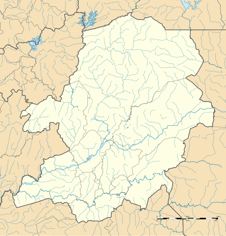
Français : Carte administrative vierge de la région du Centre, Cameroun, destinée à la géolocalisation.
Limites géographiques de la carte :
+proj=laea +lat_0=7.37 +lon_0=12.34 +x_0=0 +y_0=0 +datum=WGS84 +units=m +no_defs. |
| Date | |
| Source |
Own work
Sources of data: |
| Author | Flappiefh |
| Other versions |
|

Licensing
[edit]
I, the copyright holder of this work, hereby publish it under the following license:
This file is licensed under the Creative Commons Attribution-Share Alike 4.0 International license.
- You are free:
- to share – to copy, distribute and transmit the work
- to remix – to adapt the work
- Under the following conditions:
- attribution – You must give appropriate credit, provide a link to the license, and indicate if changes were made. You may do so in any reasonable manner, but not in any way that suggests the licensor endorses you or your use.
- share alike – If you remix, transform, or build upon the material, you must distribute your contributions under the same or compatible license as the original.
File history
Click on a date/time to view the file as it appeared at that time.
| Date/Time | Thumbnail | Dimensions | User | Comment | |
|---|---|---|---|---|---|
| current | 10:03, 18 August 2016 | | 1,016 × 1,064 (1.22 MB) | Flappiefh (talk | contribs) | User created page with UploadWizard |
You cannot overwrite this file.
File usage on Commons
The following 3 pages use this file:
File usage on other wikis
The following other wikis use this file:
- Usage on en.wikipedia.org
- Usage on fr.wikipedia.org
- Ambassade de France au Cameroun
- Aéroport international de Yaoundé-Nsimalen
- Basilique Marie-Reine-des-Apôtres de Mvolyé
- Grande Mosquée de Yaoundé
- Yaoundé
- Palais polyvalent des sports de Yaoundé
- Prison centrale de Kondengui
- École normale supérieure de Yaoundé
- Wikipédia:Atelier graphique/Cartes/Archives/Demandes mises en sommeil/France
- Palais de Charles Atangana
- Parc zoo-botanique de Mvog Betsi
- Centre sportif académique de Mbankomo
- Musée national du Cameroun
- Monument de la réunification
- Cathédrale Notre-Dame-des-Victoires de Yaoundé
- Aéroport de Yaoundé-Ville
- Stade de football d'Olembe
- Olembé
- Modèle:Géolocalisation/Région du Centre (Cameroun)
- Accident ferroviaire d'Éséka
- Wikipédia:Atelier graphique/Cartes/Archives/octobre 2016
- Institut français du Cameroun
- Abondo
- Akak I
- Collège évangélique de Libamba
- Ministère des Relations extérieures (Cameroun)
- Cité Verte
- Obili
- Abbaye de Grandselve (Obout)
- Lycée Général-Leclerc (Yaoundé)
- Nyom
- Zone industrielle de Yaoundé-Sud
- Zone industrielle de Nomayos
- Pont d'Ébebda
- Monument de l'Unité
- École nationale des eaux et forêts de Mbalmayo
- Complexe multisports de la Mundi
- Kananga (Bokito)
- Catastrophe du 8 octobre 2023 à Mbankolo - Yaoundé
- Utilisateur:SeverinGeo/Brouillon
- Musée des peuples de la forêt
- Usage on he.wikipedia.org
View more global usage of this file.