File:Carte sud-ouest de la Colombie-Britannique.png
Jump to navigation
Jump to search
Size of this preview: 382 × 600 pixels. Other resolutions: 153 × 240 pixels | 600 × 942 pixels.
Original file (600 × 942 pixels, file size: 1.13 MB, MIME type: image/png)
Captions
Captions
Add a one-line explanation of what this file represents
Summary
[edit]
| Description |
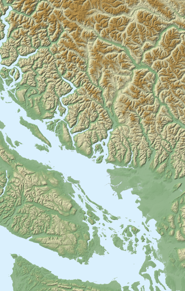
Fond de carte du sud-ouest de la Colombie-Britannique Données cartographiques obtenues sur le site FTPdu SRTM (Shuttle Radar Topography Mission) de la NASA. Visualisation des données sur le logiciel 3DEM de Visualization Software LLC. Projection UTM. Correction des défauts et assemblage des portions de cartes sur Paint.NET. Carte réalisée en s'aidant du didactitiel de Sting. |
| Source | Own work |
| Author | Arct |
Licensing
[edit]
I, the copyright holder of this work, hereby publish it under the following licenses:

|
Permission is granted to copy, distribute and/or modify this document under the terms of the GNU Free Documentation License, Version 1.2 or any later version published by the Free Software Foundation; with no Invariant Sections, no Front-Cover Texts, and no Back-Cover Texts. A copy of the license is included in the section entitled GNU Free Documentation License. |
This file is licensed under the Creative Commons Attribution-Share Alike 3.0 Unported, 2.5 Generic, 2.0 Generic and 1.0 Generic license.
- You are free:
- to share – to copy, distribute and transmit the work
- to remix – to adapt the work
- Under the following conditions:
- attribution – You must give appropriate credit, provide a link to the license, and indicate if changes were made. You may do so in any reasonable manner, but not in any way that suggests the licensor endorses you or your use.
- share alike – If you remix, transform, or build upon the material, you must distribute your contributions under the same or compatible license as the original.
You may select the license of your choice.
This image uses high-resolution digital topography data from NASA's Shuttle Radar Topography Mission (SRTM) at JPL-Caltech [1]. It is in the public domain in the United States.
|
 | |
File history
Click on a date/time to view the file as it appeared at that time.
| Date/Time | Thumbnail | Dimensions | User | Comment | |
|---|---|---|---|---|---|
| current | 00:07, 24 November 2007 | | 600 × 942 (1.13 MB) | Arct (talk | contribs) | {{Information |Description= Fond de carte du sud-ouest de la Colombie-Britannique Données cartographiques obtenues sur le [ftp://e0srp01u.ecs.nasa.gov/srtm/version2/SRTM3 site FTP]fu '''[http://www2.jpl.nasa.gov/srtm/ SRTM (Shuttle Radar Topography Miss |
You cannot overwrite this file.
File usage on Commons
The following page uses this file:
File usage on other wikis
The following other wikis use this file:
- Usage on fr.wikipedia.org