File:Capela de Santa Luzia, Rafael Fernandes (RN).JPG
Jump to navigation
Jump to search

Size of this preview: 491 × 599 pixels. Other resolutions: 197 × 240 pixels | 393 × 480 pixels | 629 × 768 pixels | 839 × 1,024 pixels | 1,678 × 2,048 pixels | 2,950 × 3,600 pixels.
Original file (2,950 × 3,600 pixels, file size: 1.49 MB, MIME type: image/jpeg)
Captions
Captions
Add a one-line explanation of what this file represents
Summary
[edit].JPG&action=edit§ion=1)
| Description |
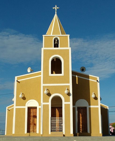
Português: Capela de Santa Luzia, em Rafael Fernandes, Rio Grande do Norte (Brasil), que pertence à paróquia de Nossa Senhora da Conceição de Pau dos Ferros. |
|||
| Date | ||||
| Source | Own work | |||
| Author |
by Marcos Elias de Oliveira Júnior talk! + (contact here) |
|||
| Permission (Reusing this file) |
I, the copyright holder of this work, hereby publish it under the following license:
|
| Camera location | | View this and other nearby images on: OpenStreetMap |
|---|
.JPG¶ms=-06.195980_N_-038.224534_E_globe:Earth_type:camera__&language=en)
File history
Click on a date/time to view the file as it appeared at that time.
| Date/Time | Thumbnail | Dimensions | User | Comment | |
|---|---|---|---|---|---|
| current | 01:14, 28 March 2017 | | 2,950 × 3,600 (1.49 MB) | Marquinhos (talk | contribs) | |
| 22:47, 22 January 2017 |  | 3,050 × 3,600 (1.46 MB) | Marquinhos (talk | contribs) | Latest version | |
| 21:23, 12 April 2014 |  | 2,560 × 1,920 (1.27 MB) | Marquinhos (talk | contribs) | User created page with UploadWizard |
You cannot overwrite this file.
File usage on Commons
There are no pages that use this file.
File usage on other wikis
The following other wikis use this file:
- Usage on nl.wikipedia.org
- Usage on pt.wikipedia.org
.JPG&oldid=847737737)