File:Canada Nunavut location map-lambert proj2.svg
Jump to navigation
Jump to search

Size of this PNG preview of this SVG file: 481 × 599 pixels. Other resolutions: 193 × 240 pixels | 385 × 480 pixels | 616 × 768 pixels | 822 × 1,024 pixels | 1,643 × 2,048 pixels | 512 × 638 pixels.
Original file (SVG file, nominally 512 × 638 pixels, file size: 2.05 MB)
Captions
Captions
Add a one-line explanation of what this file represents
Summary
[edit]
| Description |
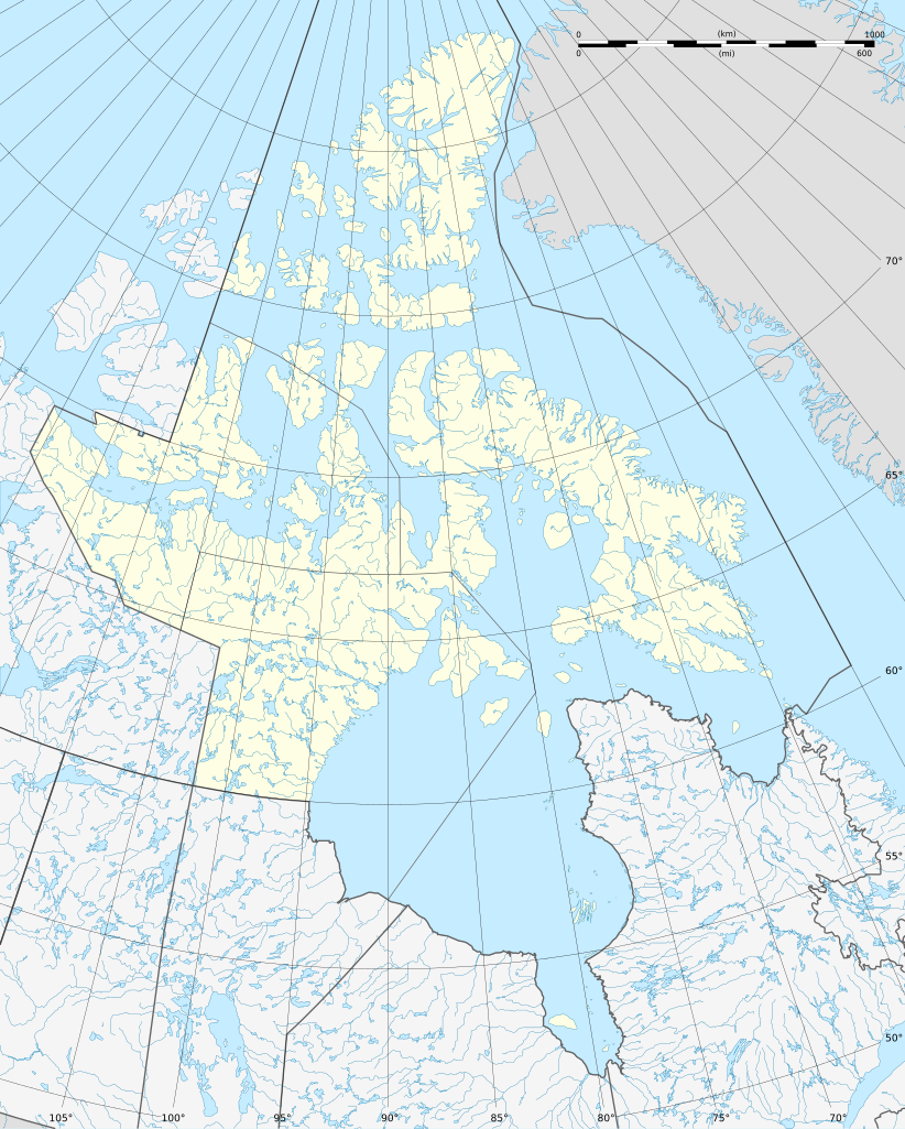
Français : Carte administrative vierge du territoire du Nunavut, Canada, destinée à la géolocalisation. Lambert conformal conic projection. |
| Date | |
| Source |
This file was derived from: Canada Nunavut location map-lambert proj.svg |
| Author |
|
Licensing
[edit]
I, the copyright holder of this work, hereby publish it under the following license:
This file is licensed under the Creative Commons Attribution-Share Alike 3.0 Unported license.
- You are free:
- to share – to copy, distribute and transmit the work
- to remix – to adapt the work
- Under the following conditions:
- attribution – You must give appropriate credit, provide a link to the license, and indicate if changes were made. You may do so in any reasonable manner, but not in any way that suggests the licensor endorses you or your use.
- share alike – If you remix, transform, or build upon the material, you must distribute your contributions under the same or compatible license as the original.
Original upload log
[edit]
This image is a derivative work of the following images:
- File:Canada_Nunavut_location_map-lambert_proj.svg licensed with Cc-by-sa-3.0
- 2012-08-06T17:34:04Z Flappiefh 512x638 (2151741 Bytes)
File history
Click on a date/time to view the file as it appeared at that time.
| Date/Time | Thumbnail | Dimensions | User | Comment | |
|---|---|---|---|---|---|
| current | 08:42, 19 August 2012 | | 512 × 638 (2.05 MB) | NordNordWest (talk | contribs) | == {{int:filedesc}} == {{Information |Description={{de|1=Positionskarte von Nunavut, Kanada}} {{en|1=Blank administrative map of the territory of Nunavut, [[:en:... |
You cannot overwrite this file.
File usage on Commons
There are no pages that use this file.
File usage on other wikis
The following other wikis use this file:
- Usage on be.wikipedia.org
- Usage on de.wikipedia.org
- Boothia
- Kanadisch-arktischer Archipel
- Iqaluit
- Frobisher-Bucht
- Belcherinseln
- Resolute Bay
- King Christian Island
- Graham Island (Nunavut)
- Alert (Nunavut)
- Barbeau Peak
- Robeson-Kanal
- Bellotstraße
- Southampton Island
- James Bay
- Parry-Inseln
- Grise Fiord
- Dubawntsee
- Nottingham Island
- Kinngait
- Whale Cove
- Rankin Inlet
- Sanikiluaq
- Flughafen Sanikiluaq
- Flughafen Rankin Inlet
- Baker Lake
- Kugluktuk
- Clyde River (Nunavut)
- Pond Inlet
- Arctic Bay
- Nanisivik
- Pangnirtung
- Cambridge Bay
- Lake Hazen
- Naujaat
- Arviat
- Qikiqtarjuaq
- Iglulik
- Kugaaruk
View more global usage of this file.