File:California State Route 94, San Diego, California (15632693006).jpg
Original file (4,000 × 3,000 pixels, file size: 3.32 MB, MIME type: image/jpeg)
Captions
Captions
Summary
[edit].jpg&action=edit§ion=1)
| Description |
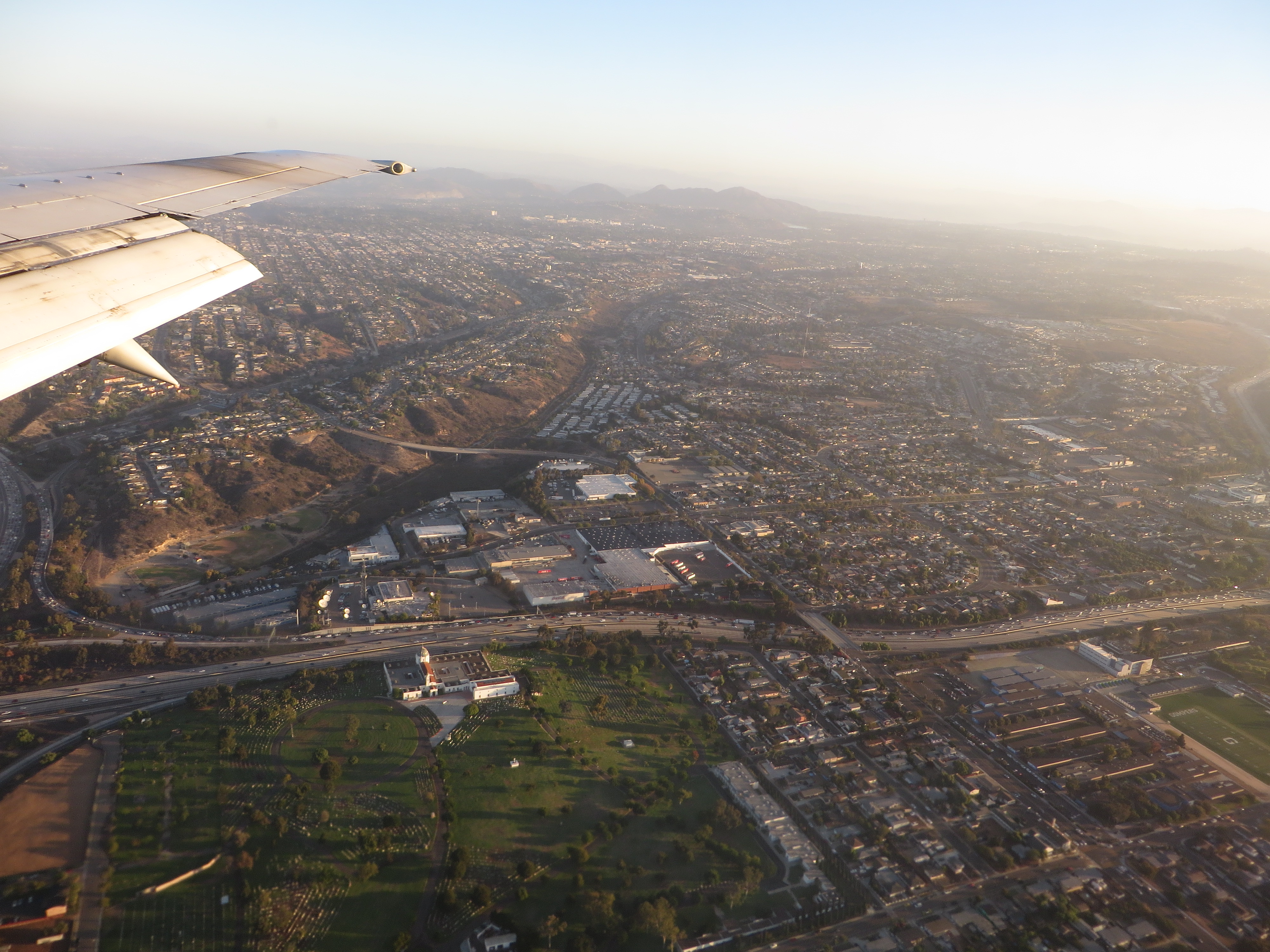
State Route 94 (SR 94) is a highway in the U.S. state of California. The western portion is known as the Martin Luther King Jr. Freeway that begins at Interstate 5 (I-5) in downtown San Diego and continues to the end of the freeway portion past SR 125 in Spring Valley. The non-freeway segment of SR 94 that continues east to I-8 near Boulevard is known as Campo Road. The Campo road served as a wagon road providing access to eastern San Diego County as well as Imperial County. The road was added to the state highway system in 1933, and signs for Route 94 were posted along local roads later that decade. Efforts to convert the western half of the route to a freeway took place in the 1950s, and the freeway was complete by 1962 west of what became SR 125. Construction continued east to Avocado Road over the next few years. Various proposals for widening the highway have come from Caltrans, but local opposition resulted in the delay or cancellation of many of these proposals. en.wikipedia.org/wiki/California_State_Route_94 en.wikipedia.org/wiki/Wikipedia:Text_of_Creative_Commons_... |
| Date | |
| Source | California State Route 94, San Diego, California |
| Author | Ken Lund from Reno, Nevada, USA |
| Camera location | | View this and other nearby images on: OpenStreetMap |
|---|
.jpg¶ms=032.711155_N_-117.098089_E_globe:Earth_type:camera_source:Flickr_&language=en)
Licensing
[edit].jpg&action=edit§ion=2)
- You are free:
- to share – to copy, distribute and transmit the work
- to remix – to adapt the work
- Under the following conditions:
- attribution – You must give appropriate credit, provide a link to the license, and indicate if changes were made. You may do so in any reasonable manner, but not in any way that suggests the licensor endorses you or your use.
- share alike – If you remix, transform, or build upon the material, you must distribute your contributions under the same or compatible license as the original.
| This image was originally posted to Flickr by Ken Lund at https://flickr.com/photos/75683070@N00/15632693006. It was reviewed on 4 December 2015 by FlickreviewR and was confirmed to be licensed under the terms of the cc-by-sa-2.0. |
File history
Click on a date/time to view the file as it appeared at that time.
| Date/Time | Thumbnail | Dimensions | User | Comment | |
|---|---|---|---|---|---|
| current | 04:07, 4 December 2015 | | 4,000 × 3,000 (3.32 MB) | INeverCry (talk | contribs) | Transferred from Flickr via Flickr2Commons |
You cannot overwrite this file.
File usage on Commons
There are no pages that use this file.
.jpg&oldid=896483397)