File:Brazos River Double Mountain Fork Rotan Texas 2009.jpg
Jump to navigation
Jump to search

Size of this preview: 800 × 533 pixels. Other resolutions: 320 × 213 pixels | 640 × 427 pixels | 1,024 × 683 pixels | 1,280 × 853 pixels | 2,560 × 1,707 pixels | 3,888 × 2,592 pixels.
Original file (3,888 × 2,592 pixels, file size: 4.72 MB, MIME type: image/jpeg)
Captions
Captions
Add a one-line explanation of what this file represents
Summary
[edit]| Description |
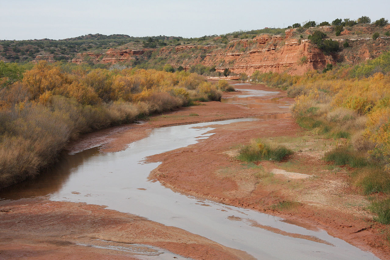
English: Double Mountain Fork Brazos River — a tributary of the Brazos River, in the Llano Estacado region, Fisher County, West Texas.
|
| Date | Taken on 12 November 2009 |
| Source | Own work |
| Author | Leaflet |
| Other versions |
Other photos of the Rolling Plains of Texas
 |


| Camera location | | View this and other nearby images on: OpenStreetMap |
|---|
Licensing
[edit]
I, the copyright holder of this work, hereby publish it under the following license:
This file is licensed under the Creative Commons Attribution-Share Alike 3.0 Unported license.
- You are free:
- to share – to copy, distribute and transmit the work
- to remix – to adapt the work
- Under the following conditions:
- attribution – You must give appropriate credit, provide a link to the license, and indicate if changes were made. You may do so in any reasonable manner, but not in any way that suggests the licensor endorses you or your use.
- share alike – If you remix, transform, or build upon the material, you must distribute your contributions under the same or compatible license as the original.
File history
Click on a date/time to view the file as it appeared at that time.
| Date/Time | Thumbnail | Dimensions | User | Comment | |
|---|---|---|---|---|---|
| current | 17:37, 22 November 2009 | | 3,888 × 2,592 (4.72 MB) | Leaflet (talk | contribs) | {{Information |Description={{en|1=Double Mountain Fork of the {{w|Brazos River}}, 9 km north of Rotan of Fisher County, Texas or 15 km south of {{w|Double Mountain (Texas)|Double Mountain}}, Stonewall County, Texas.}} |Source={{own}} |Author=[[User:Leafle |
You cannot overwrite this file.
File usage on Commons
The following 6 pages use this file:
File usage on other wikis
The following other wikis use this file:
- Usage on cs.wikipedia.org
- Usage on de.wikipedia.org
- Usage on en.wikipedia.org
- Usage on fa.wikipedia.org
- Usage on ja.wikipedia.org
- Usage on pl.wikipedia.org