File:Boek Soldaat Overzee 1e druk.jpg
Jump to navigation
Jump to search

Size of this preview: 800 × 555 pixels. Other resolutions: 320 × 222 pixels | 640 × 444 pixels | 1,024 × 710 pixels | 1,280 × 887 pixels | 2,560 × 1,775 pixels | 3,861 × 2,677 pixels.
Original file (3,861 × 2,677 pixels, file size: 3.11 MB, MIME type: image/jpeg)
Captions
Captions
Add a one-line explanation of what this file represents
This file may not have the correct information on its copyright status.
Notify the uploader with:
Items tagged with this template are sorted into Category:Items with disputed copyright information.
|
Summary
[edit]
| Description |
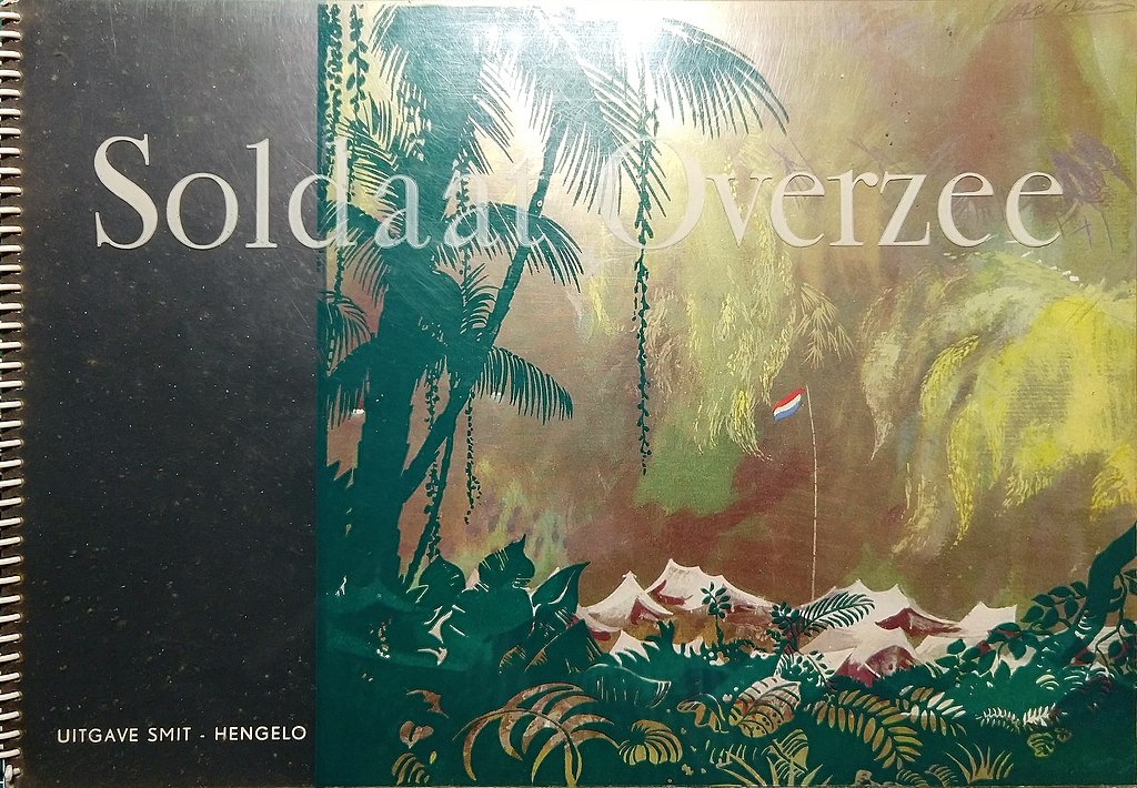
Nederlands: boek Soldaat Overzee 1e druk. [Ondertitel bij druk uit 1948: Een reportage van het leven en het werken van de mannen van de Koninklijke Landmacht en het Koninklijk Nederlands-Indische Leger].
English: book Soldaat Overzee 1 st edition |
| Date | |
| Source | Own work |
| Author | J.vandeburgt |
| Camera location | | View this and other nearby images on: OpenStreetMap |
|---|
Licensing
[edit]
I, the copyright holder of this work, hereby publish it under the following license:
| This file is made available under the Creative Commons CC0 1.0 Universal Public Domain Dedication. | |
| The person who associated a work with this deed has dedicated the work to the public domain by waiving all of their rights to the work worldwide under copyright law, including all related and neighboring rights, to the extent allowed by law. You can copy, modify, distribute and perform the work, even for commercial purposes, all without asking permission.
|
File history
Click on a date/time to view the file as it appeared at that time.
| Date/Time | Thumbnail | Dimensions | User | Comment | |
|---|---|---|---|---|---|
| current | 14:29, 27 January 2022 | | 3,861 × 2,677 (3.11 MB) | J.vandeburgt (talk | contribs) | Uploaded own work with UploadWizard |
You cannot overwrite this file.
File usage on Commons
There are no pages that use this file.