File:Bistrica novi sad 16th century.JPG
Jump to navigation
Jump to search

Size of this preview: 800 × 580 pixels. Other resolutions: 320 × 232 pixels | 640 × 464 pixels | 1,024 × 742 pixels | 1,280 × 928 pixels | 1,509 × 1,094 pixels.
Original file (1,509 × 1,094 pixels, file size: 371 KB, MIME type: image/jpeg)
Captions
Captions
Add a one-line explanation of what this file represents
Summary
[edit]
| Description |
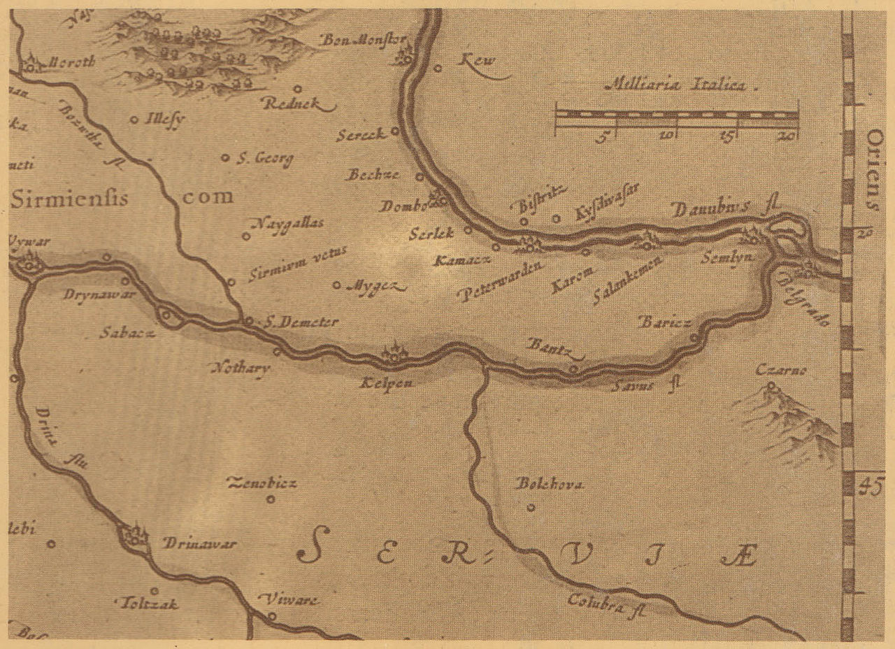
English: 16th century map of Syrmia and neighbouring areas showing Petrovaradin (Peterwarden) and settlement named Bistrica (Bistritz) on the opposite side of Danube. Српски / srpski: Mapa Srema i okolnih područja iz 16. veka, koja prikazuje Petrovaradin i naselje pod imenom Bistrica na suprotnoj strani Dunava. |
| Date | 16th century |
| Source | Taken from this source: Pavle Stanojević, Pre Novog Sada srpska Bistrica, Sveske za istoriju Novog Sada, sveska 2, Novi Sad, 1992. |
| Author | Gerardus Mercator (Gerhard Merkator), Flemish cartographer. |
Licensing
[edit]
|
This work is in the public domain in its country of origin and other countries and areas where the copyright term is the author's life plus 70 years or fewer. | |
| This file has been identified as being free of known restrictions under copyright law, including all related and neighboring rights. | |
File history
Click on a date/time to view the file as it appeared at that time.
| Date/Time | Thumbnail | Dimensions | User | Comment | |
|---|---|---|---|---|---|
| current | 09:53, 19 September 2010 | | 1,509 × 1,094 (371 KB) | WikiEditor2004 (talk | contribs) | {{Information |Description={{en|1=16th century map of Syrmia and neighbouring areas showing Petrovaradin (Peterwarden) and settlement named Bistrica (Bistritz) on the opposite side of Danube.}} |Source=Taken from this source: Pavle Stanojević, Pre Novog |
You cannot overwrite this file.
File usage on Commons
The following 2 pages use this file:
File usage on other wikis
The following other wikis use this file:
- Usage on en.wikipedia.org
- Usage on fr.wikipedia.org
- Usage on mk.wikipedia.org
- Usage on sh.wikipedia.org
- Usage on sr.wikipedia.org