File:Biggar Village, Walney Island.jpg
Jump to navigation
Jump to search
No higher resolution available.
Biggar_Village,_Walney_Island.jpg (640 × 480 pixels, file size: 112 KB, MIME type: image/jpeg)
Captions
Captions
Add a one-line explanation of what this file represents
Summary
[edit]
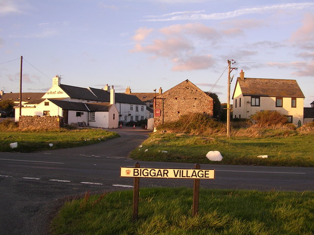
| Description | Biggar Village, Walney Island. Near to Biggar, Cumbria, Great Britain. Geographical data: Subject location OSGB36: SD191661 [Accurate to ~100m] WGS84: 54:5.0660N 3:14.2903W [54.08443,-3.23817] |
| Date | Image taken on Monday, 21 August, 2006 |
| Source | Geograph British Isles |
| Author | Chris Upson |
| Permission (Reusing this file) |
Copyright information from https://www.geograph.org.uk/faq.php: "Images are licenced for re-use under a Creative Commons Licence, see licence details by viewing a full size image." |
| Object location | | View this and other nearby images on: OpenStreetMap |
|---|
_region:GB-GBN_&language=en)
Licensing
[edit]

|
This image was taken from the Geograph project collection. See this photograph's page on the Geograph website for the photographer's contact details. The copyright on this image is owned by Chris Upson and is licensed for reuse under the Creative Commons Attribution-ShareAlike 2.0 license.
|
This file is licensed under the Creative Commons Attribution-Share Alike 2.0 Generic license.
Attribution: Chris Upson
- You are free:
- to share – to copy, distribute and transmit the work
- to remix – to adapt the work
- Under the following conditions:
- attribution – You must give appropriate credit, provide a link to the license, and indicate if changes were made. You may do so in any reasonable manner, but not in any way that suggests the licensor endorses you or your use.
- share alike – If you remix, transform, or build upon the material, you must distribute your contributions under the same or compatible license as the original.
File history
Click on a date/time to view the file as it appeared at that time.
| Date/Time | Thumbnail | Dimensions | User | Comment | |
|---|---|---|---|---|---|
| current | 15:14, 13 September 2006 | | 640 × 480 (112 KB) | Alnaschar (talk | contribs) | {{Information |Description = Biggar Village, Walney Island. Near to Biggar, Cumbria, Great Britain. '''Geographical data:''' Subject location OSGB36: SD191661 [Accurate to ~100m] WGS84: 54:5.0660N 3:14.2903W [54.08443,-3.23817] |Source = [http://www.geogr |
You cannot overwrite this file.
File usage on Commons
The following page uses this file:
File usage on other wikis
The following other wikis use this file:
- Usage on cy.wikipedia.org
- Usage on en.wikipedia.org
- Usage on pl.wikipedia.org
- Usage on www.wikidata.org